Country Maps
Originally posted on July 31, 2021 @ 9:53 am
By Naeem Noor | Updated on April 14, 2024
Reviewed by Rittika
When looking at a map of a country, you can see and understand its shape and size, as well as the locations of important cities, rivers, lakes, and mountains. This helps us visualize where people live and work, and how the nation’s environment affects daily life. Knowing a country’s geography helps us appreciate its culture, history, and natural wonders. A map is like a picture story of the nation that makes it easier for you to learn about and explore the world around you.
List of available country maps in alphabetical order.
-
Map of
 Abkhazia
 -
Map of
Afghanistan
-
Map of
Åland Islands
-
Map of
Albania
-
Map of
Algeria
-
Map of
American Samoa
-
Map of
Andorra
-
Map of
Angola
-
Map of
Anguilla
-
Map of
Antigua and Barbuda
-
Map of
Argentina
-
Map of
Armenia
-
Map of
Aruba
-
Map of
Australia
-
Map of
Austria
-
Map of
Azerbaijan
-
Map of
Bahamas
-
Map of
Bahrain
-
Map of
Bangladesh
-
Map of
Barbados
-
Map of
Belarus
-
Map of
Belgium
-
Map of
Belize
-
Map of
Benin
-
Map of
Bermuda
-
Map of
Bhutan
-
Map of
Bolivia
-
Map of
Bonaire
-
Map of
Bosnia and Herzegovina
-
Map of
Botswana
-
Map of
Brazil
-
Map of
British Indian Ocean Territory
-
Map of
British Virgin Islands
-
Map of
Brunei
-
Map of
Bulgaria
-
Map of
Burkina Faso
-
Map of
Burundi
-
Map of
Cambodia
-
Map of
Cameroon
-
Map of
Canada
-
Map of
Cape Verde
-
Map of
Cayman Islands
-
Map of
Central African Republic
-
Map of
Chad
-
Map of
Chile
-
Map of
China
-
Map of
Christmas Island
-
Map of
Cocos (Keeling) Islands
-
Map of
Colombia
-
Map of
Comoros
-
Map of
Republic of Congo
-
Map of
Democratic Republic of the Congo
-
Map of
Cook Islands
-
Map of
Costa Rica
-
Map of
Croatia
-
Map of
Cuba
-
Map of
Curaçao
-
Map of
Cyprus
-
Map of
Czech Republic
-
Map of
Dagestan
-
Map of
Denmark
-
Map of
Djibouti
-
Map of
Dominica
-
Map of
Dominican Republic
-
Map of
East Timor (Timor-Leste)
-
Map of
Ecuador
-
Map of
Egypt
-
Map of
El Salvador
-
Map of
England
-
Map of
Equatorial Guinea
-
Map of
Eritrea
-
Map of
Estonia
-
Map of
Eswatini (Swaziland)
-
Map of
Ethiopia
-
Map of
Faroe Islands
-
Map of
Fiji
-
Map of
Finland
-
Map of
Flanders
-
Map of
France
-
Map of
French Guiana
-
Map of
French Polynesia
-
Map of
Gabon
-
Map of
The Gambia
-
Map of
Georgia
-
Map of
Germany
-
Map of
Ghana
-
Map of
Gibraltar
-
Map of
Greece
-
Map of
Greenland
-
Map of
Grenada
-
Map of
Guam
-
Map of
Guatemala
-
Map of
Guernsey
-
Map of
Guinea
-
Map of
Guinea-Bissau
-
Map of
Guyana
-
Map of
Haiti
-
Map of
Honduras
-
Map of
Hong Kong
-
Map of
Hungary
-
Map of
Iceland
-
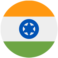
Map of
India
-
Map of
Indonesia
-
Map of
Iran
-
Map of
Iraq
-
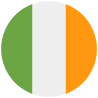
Map of
Ireland
-
Map of
Isle of Man
-
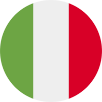
Map of
Italy
-
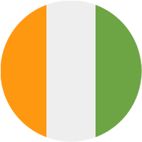
Map of
Côte d’Ivoire
-
Map of
Jamaica
-
Map of
Japan
-
Map of
Jersey
-
Map of
Jordan
-
Map of
Kazakhstan
-
Map of
Kenya
-
Map of
Kiribati
-
Map of
North Korea
-
Map of
South Korea
-
Map of
Kosovo
-
Map of
Kuwait
-
Map of
Kyrgyzstan
-
Map of
Laos
-
Map of
Latvia
-
Map of
Lebanon
-
Map of
Lesotho
-
Map of
Liberia
-
Map of
Libya
-
Map of
Liechtenstein
-
Map of
Lithuania
-
Map of
Luxembourg
-
Map of
Macau
-
Map of
North Macedonia
-
Map of
Madagascar
-
Map of
Malawi
-
Map of
Malaysia
-
Map of
Maldives
-
Map of
Mali
-
Map of
Malta
-
Map of
Marshall Islands
-
Map of
Mauritania
-
Map of
Mauritius
-
Map of
Mexico
-
Map of
Micronesia
-
Map of
Moldova
-
Map of
Monaco
-
Map of
Mongolia
-
Map of
Montenegro
-
Map of
Montserrat
-
Map of
Morocco
-
Map of
Mozambique
-
Map of
Myanmar (Burma)
-
Map of
Namibia
-
Map of
Nauru
-
Map of
Nepal
-
Map of
Netherlands
-
Map of
New Caledonia
-
Map of
New Zealand
-
Map of
Nicaragua
-
Map of
Niger
-
Map of
Nigeria
-
Map of
Niue
-
Map of
Norfolk Island
-
Map of
Northern Ireland
-
Map of
Norway
-
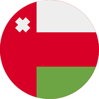
Map of
Oman
-
Map of
Pakistan
-
Map of
Palau
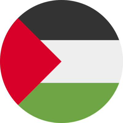
-
Map of
Palestine
-
Map of
Panama
-
Map of
Papua New Guinea
-
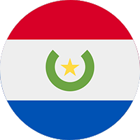
Map of
Paraguay
-
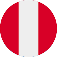
Map of
Peru
-
Map of
Philippines
-
Map of
Pitcairn Islands
-
Map of
Poland
-
Map of
Portugal
-
Map of
Puerto Rico
-
Map of
Qatar
-
Map of
Romania
-
Map of
Russia
-
Map of
Rwanda
-
Map of
Saba
-
Map of
Saint Barthélemy
-
Map of
Saint Vincent and the Grenadines
-
Map of
Samoa
-
Map of
San Marino
-
Map of
Sao Tome and Principe
-
Map of
Saudi Arabia
-
Map of
Scotland
-
Map of
Senegal
-
Map of
Serbia
-
Map of
Seychelles
-
Map of
Sierra Leone
-
Map of
Singapore
-
Map of
Sint Maarten
-
Map of
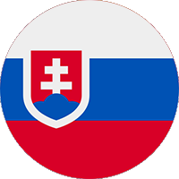
Slovakia
-
Map of
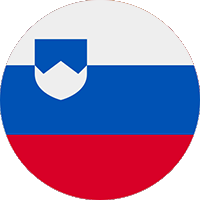
Slovenia
-
Map of
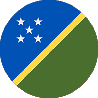
Solomon Islands
-
Map of
Somalia
-
Map of
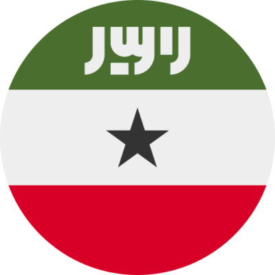
Somaliland
-
Map of
South Africa
-
Map of
South Sudan
-
Map of
Spain
-
Map of
Sri Lanka
-
Map of
Saint Kitts and Nevis
-
Map of
Saint Lucia
-
Map of
Sudan
-
Map of
Suriname
-
Map of
Svalbard
-
Map of
Sweden
-
Map of
Switzerland
-
Map of
Syria
-
Map of
Taiwan
-
Map of
Tajikistan
-
Map of
National symbols of tanzania
-
Map of
Tatarstan
-
Map of
Thailand
-
Map of
Togo
-
Map of
Tokelau
-
Map of
Tonga
-
Map of
Trinidad and Tobago
-
Map of
Tunisia
-
Map of
Turkiye
-
Map of
Turkmenistan
-
Map of
Turks and Caicos Islands
-
Map of
Tuvalu
-
Map of
Uganda
-
Map of
Ukraine
-
Map of
United Arab Emirates
-
Map of
United Kingdom
-
Map of
United States of America
-
Map of
Uruguay
-
Map of
Uzbekistan
-
Map of
Vanuatu
-
Map of
Holy See (Vatican City)
-
Map of
Venezuela
-
Map of
Vietnam
-
Map of
Wales
-
Map of
Yemen
-
Map of
Zambia
-
Map of
Zimbabwe


National Symbols 👇
- 🏁 National Flags
- 🦁 National Animals
- 🐦 National Birds
- 🌻 National Flowers
- 🌴 National Trees
- 🥭 National Fruits
- 🍹 National Drinks
- 👴 National Founders
- ☘️ National Emblems
- 🍲 National Dishes
- 🏛️ National Monuments
- ✍️ National Poets
- 🕌 National Mausoleums
- 🎺 National Instruments
- 🦸 National Heroes
- 📆 National Days