Flag Map of Countries
Originally posted on April 6, 2022 @ 12:37 am
By Naeem Noor | Updated on April 14, 2024
Reviewed by Rittika
A flag map is a visual representation of a country’s geographical boundaries overlaid with its national flag. It combines cartography and patriotism, often used in educational, promotional, and tourism-related contexts. This unique and eye-catching design helps create a strong visual association with the nation’s culture and identity.
Here is the complete list of the flag map of countries in alphabetical order.
View the flags of the world ????
Play guess the country flags ????
-
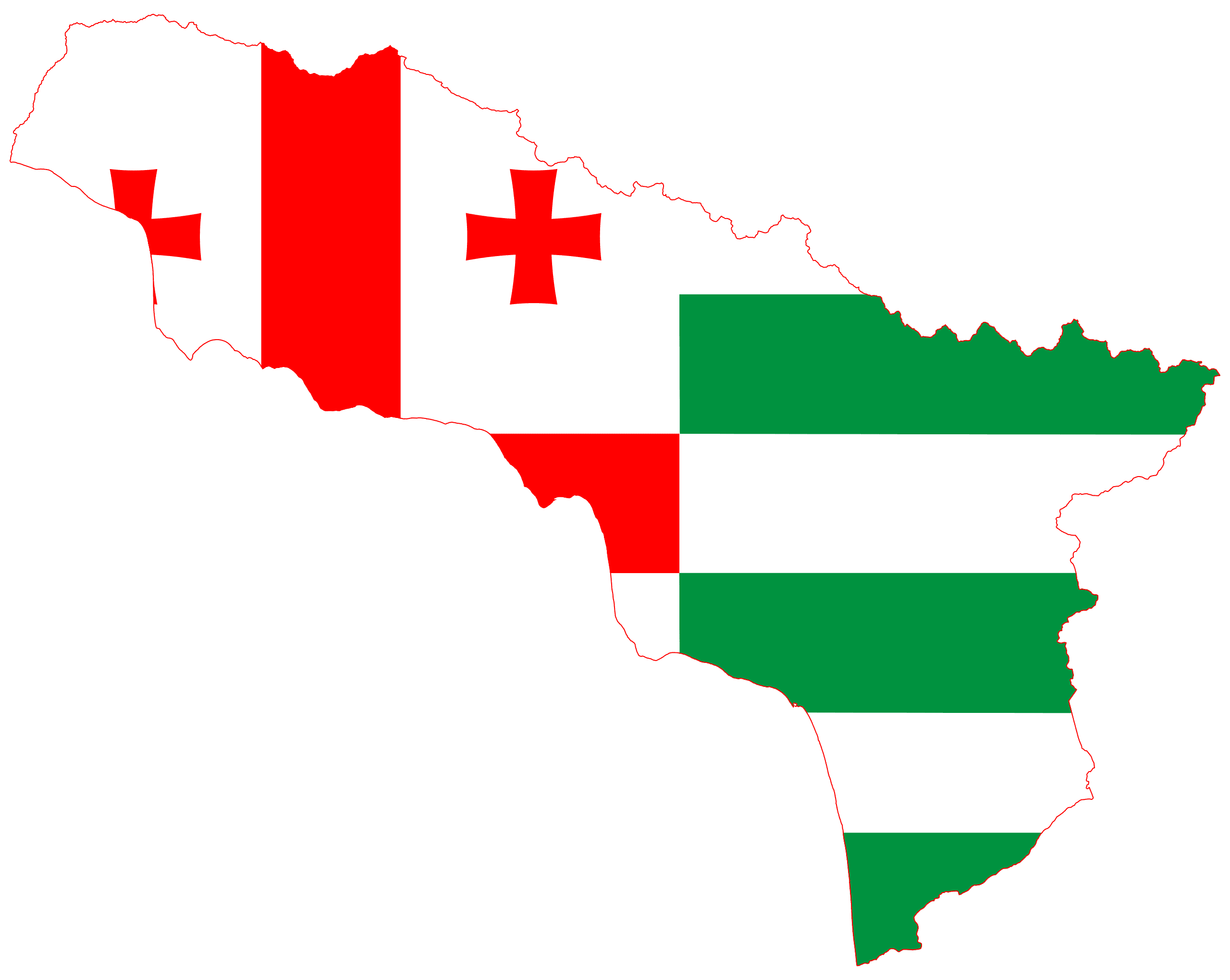
 Abkhazia
 -
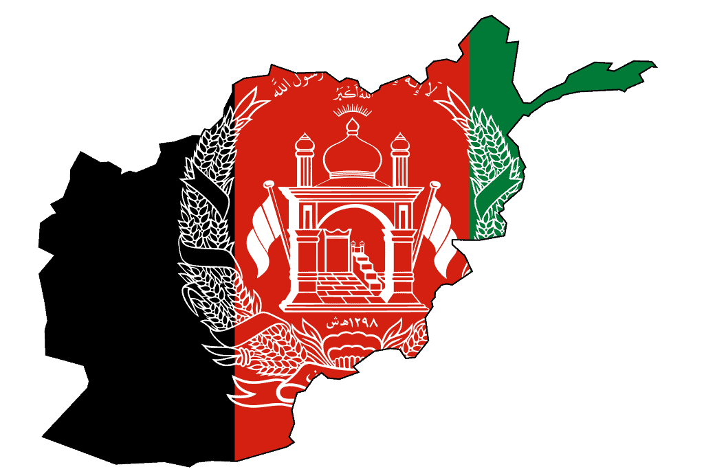
Afghanistan
-
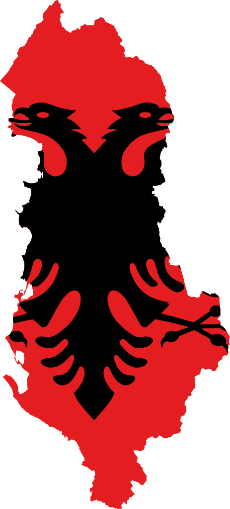
Albania
-
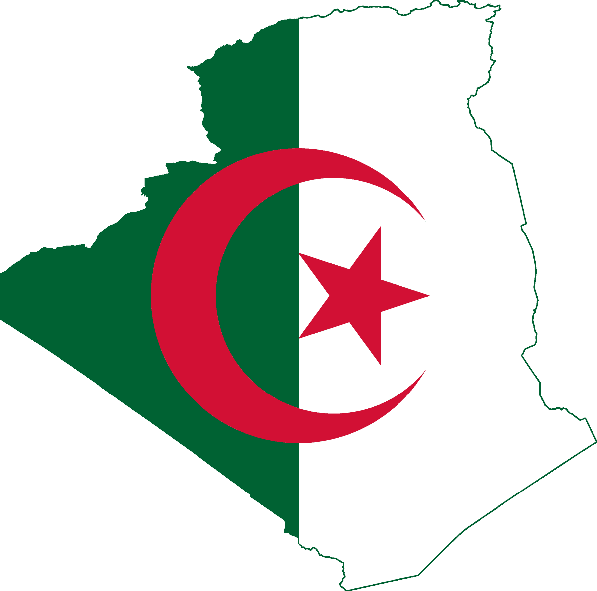
Algeria
-
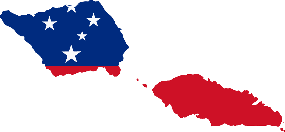
American Samoa
-
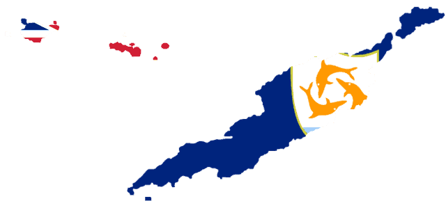
Anguilla
-
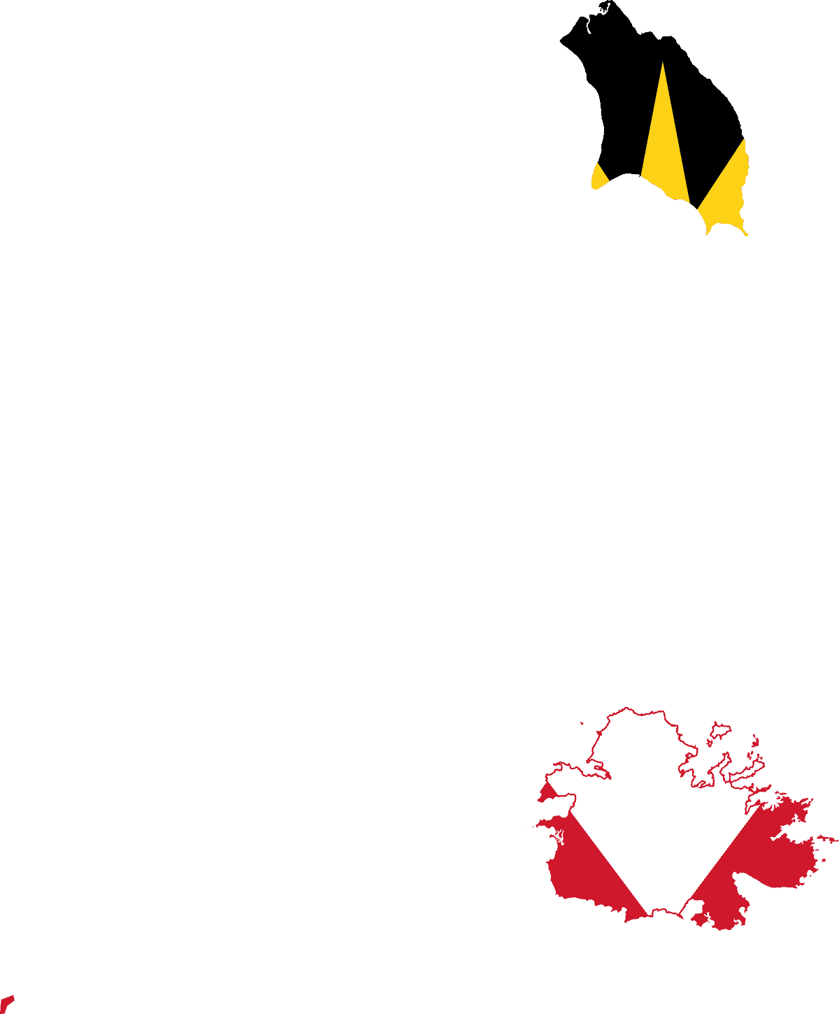
Antigua and Barbuda
-
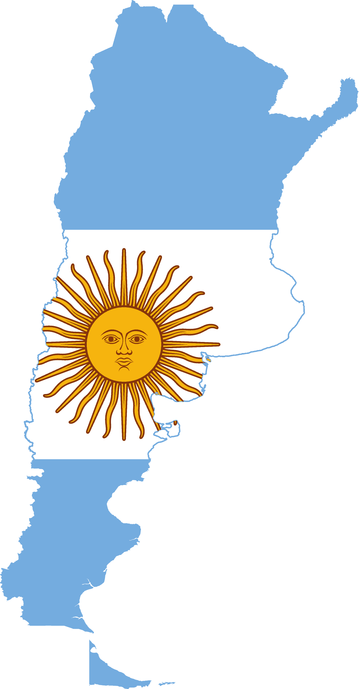
Argentina
-
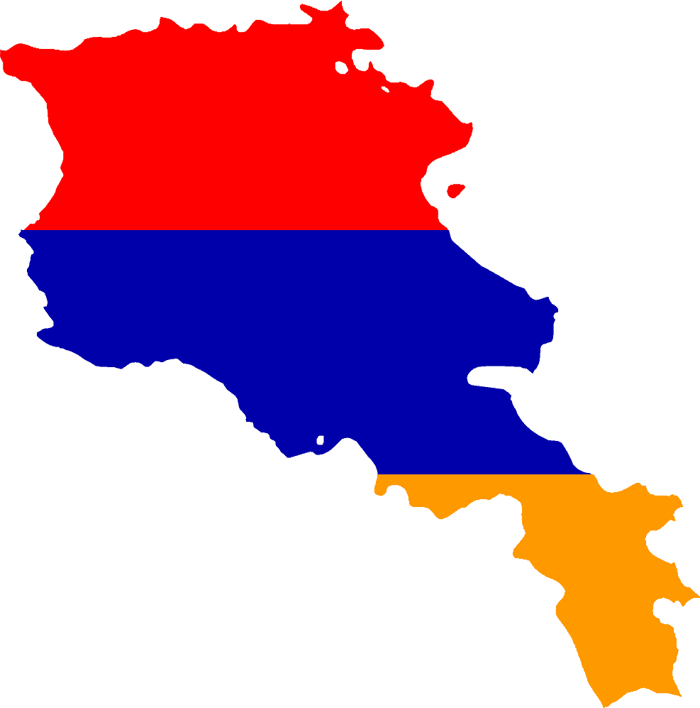
Armenia
-
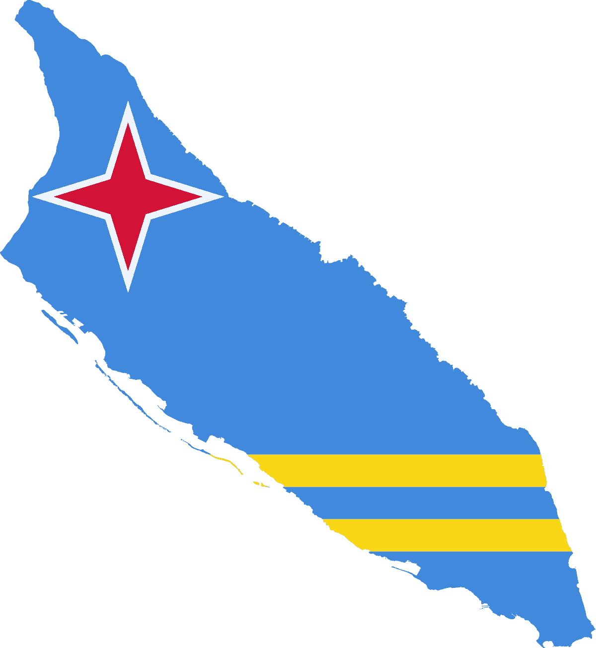
Aruba
-
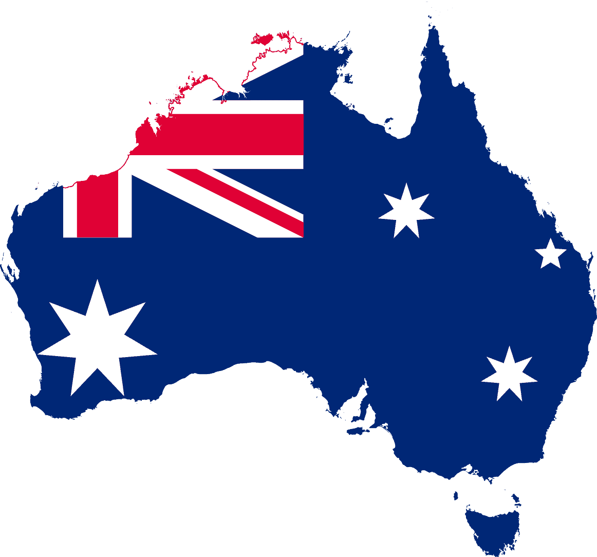
Australia
-
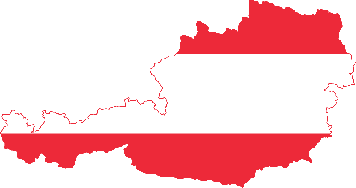
Austria
-
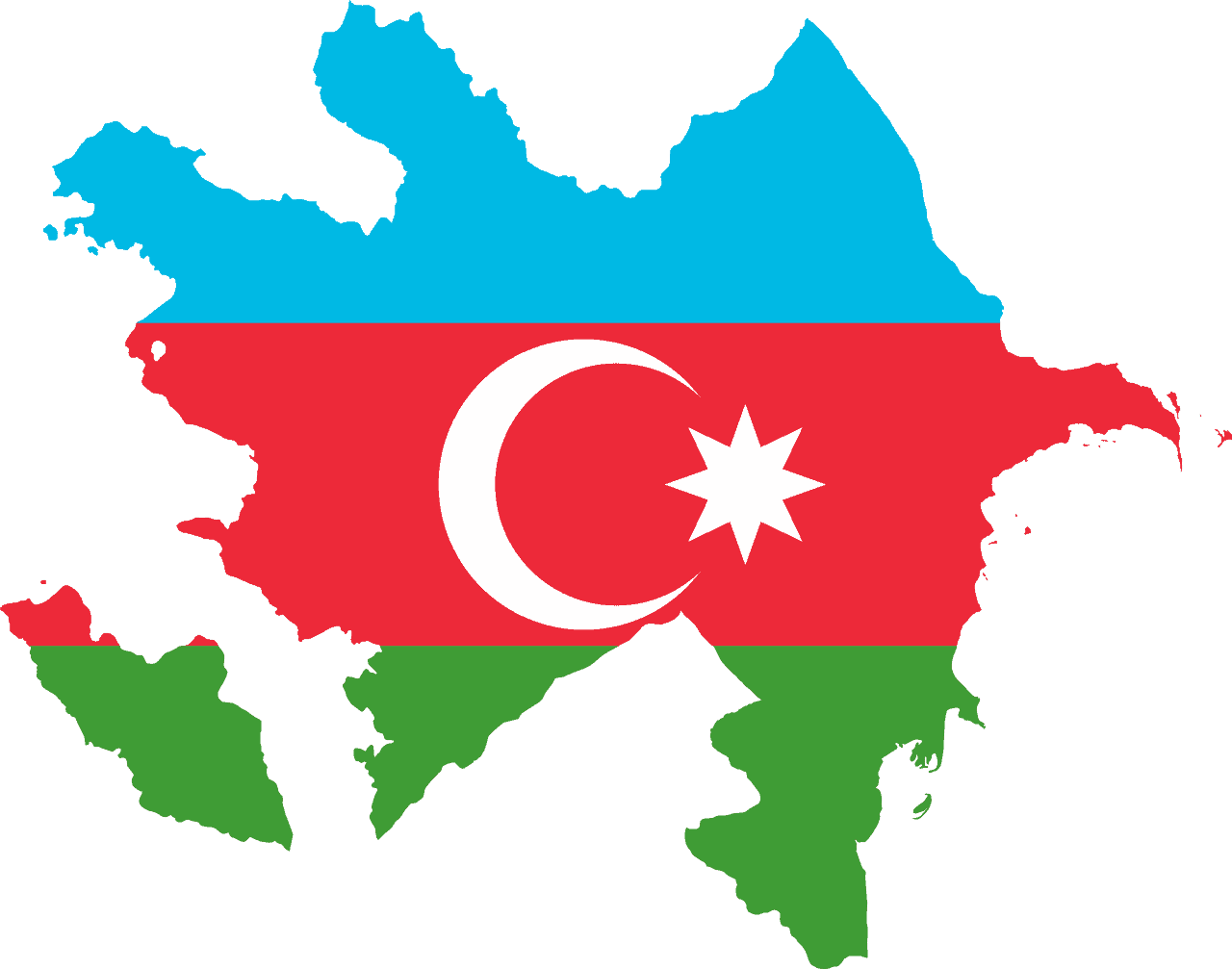
Azerbaijan
-
Bahamas
-
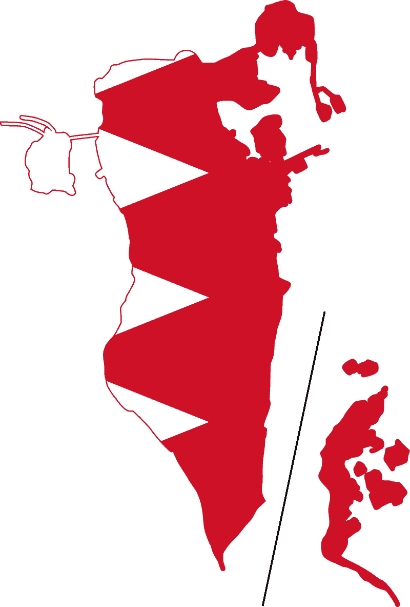
Bahrain
-
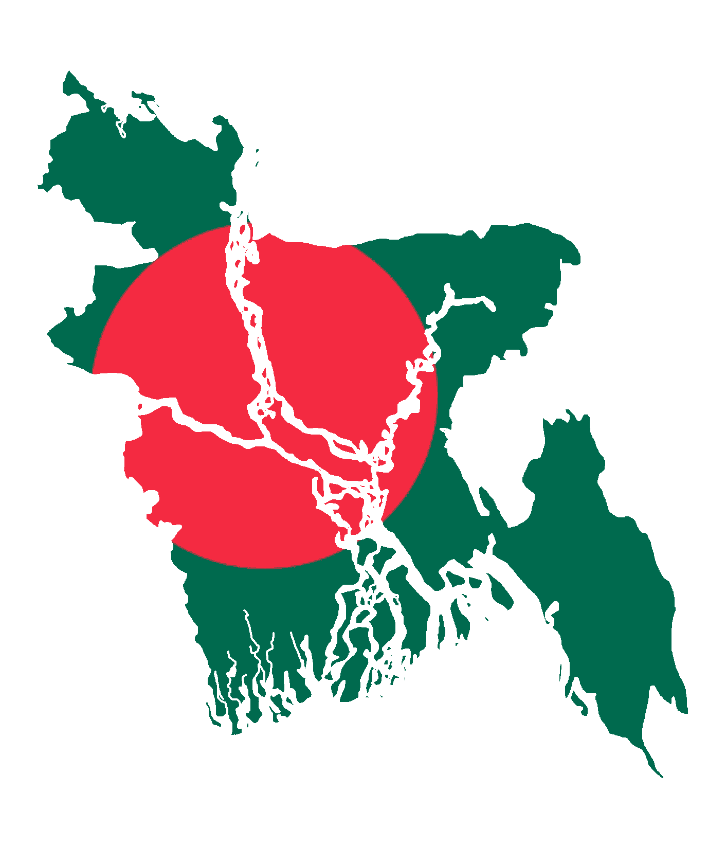
Bangladesh
-
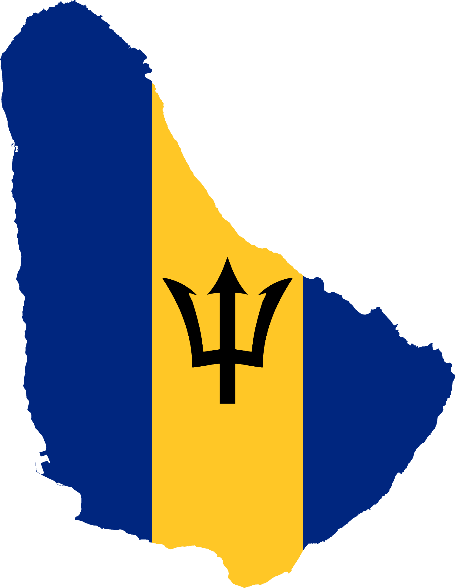
Barbados
-
Belarus
-
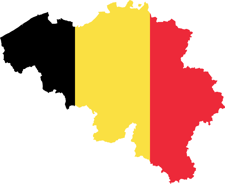
Belgium
-
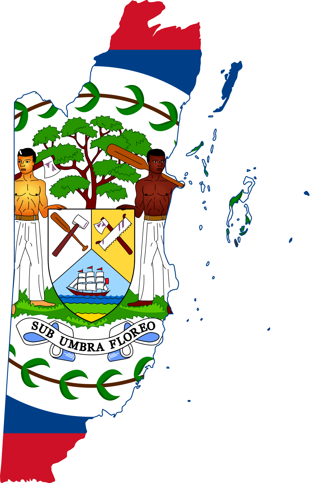
Belize
-
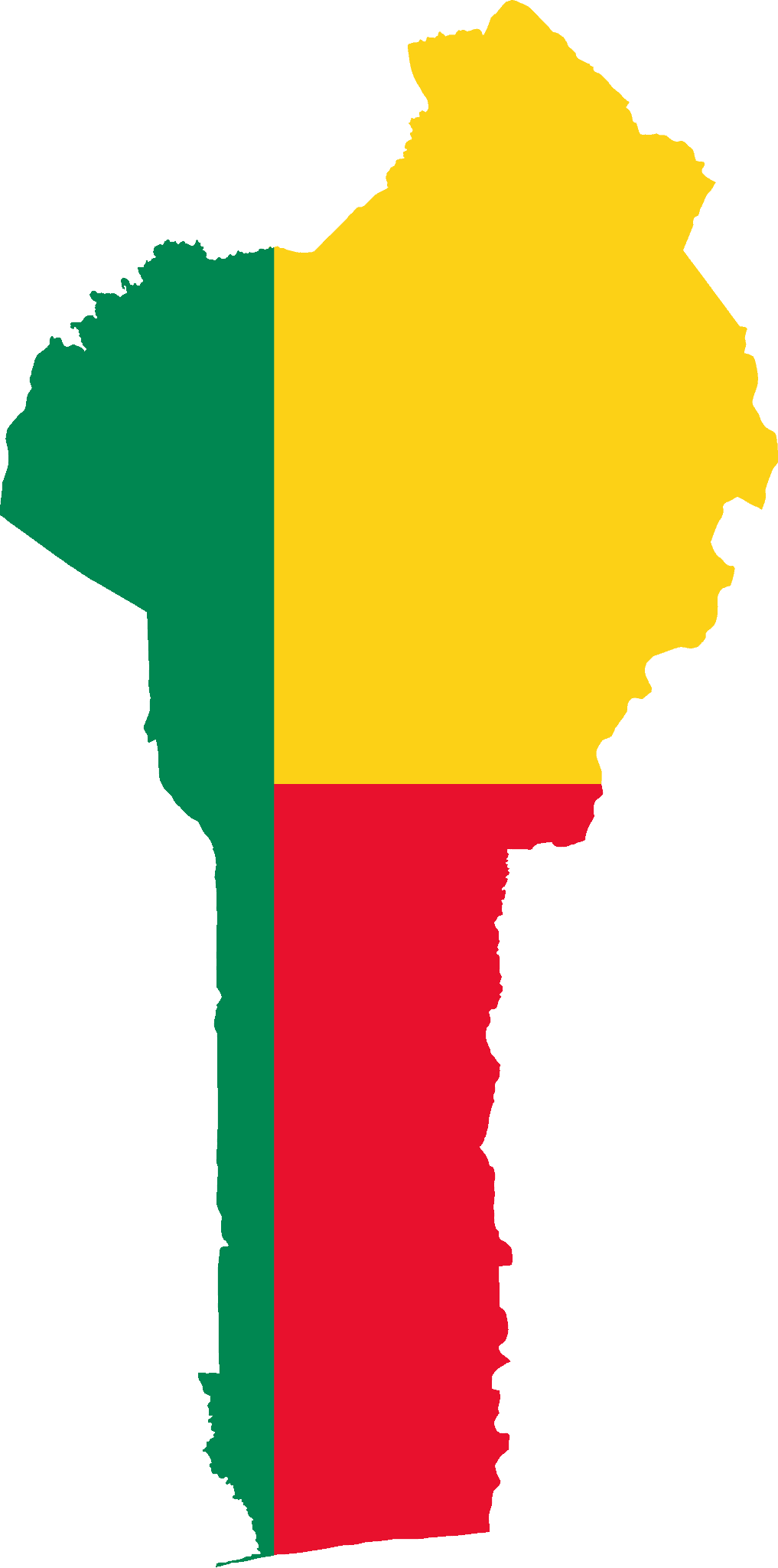
Benin
-
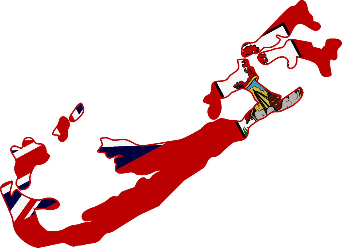
Bermuda
-
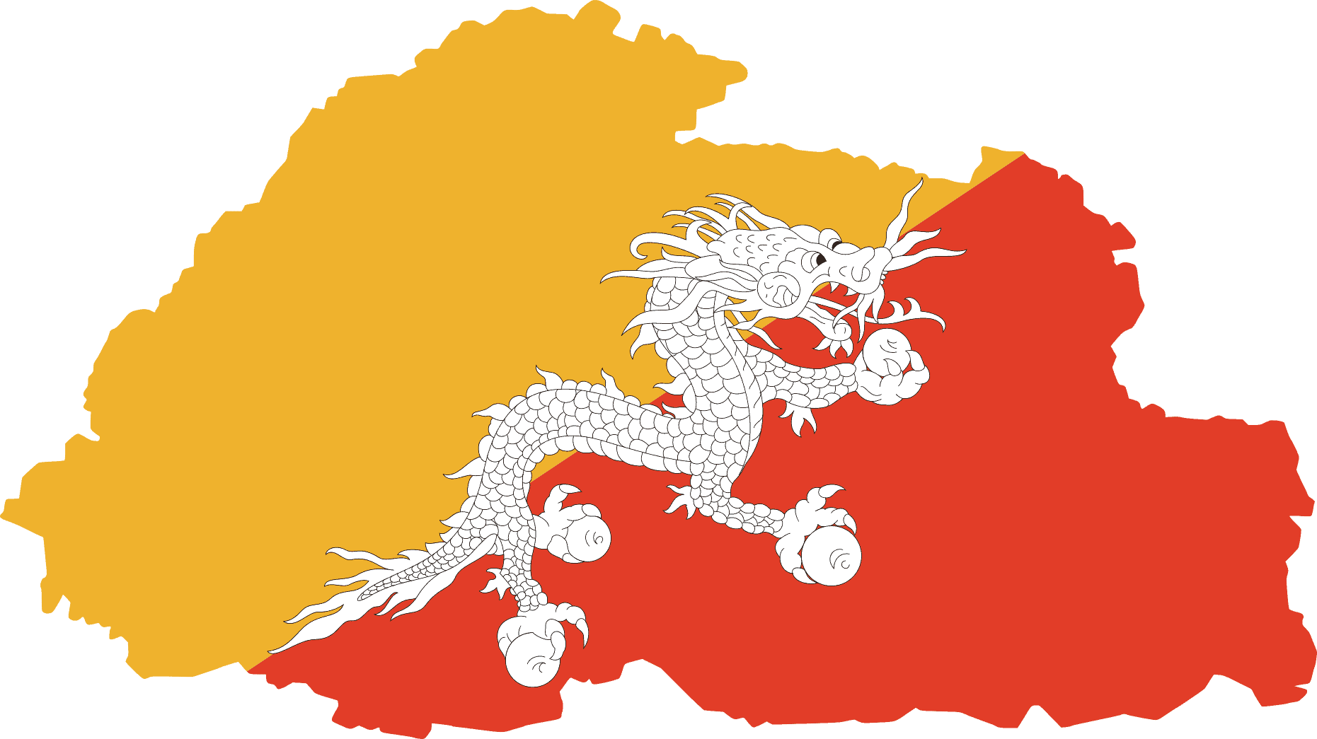
Bhutan
-
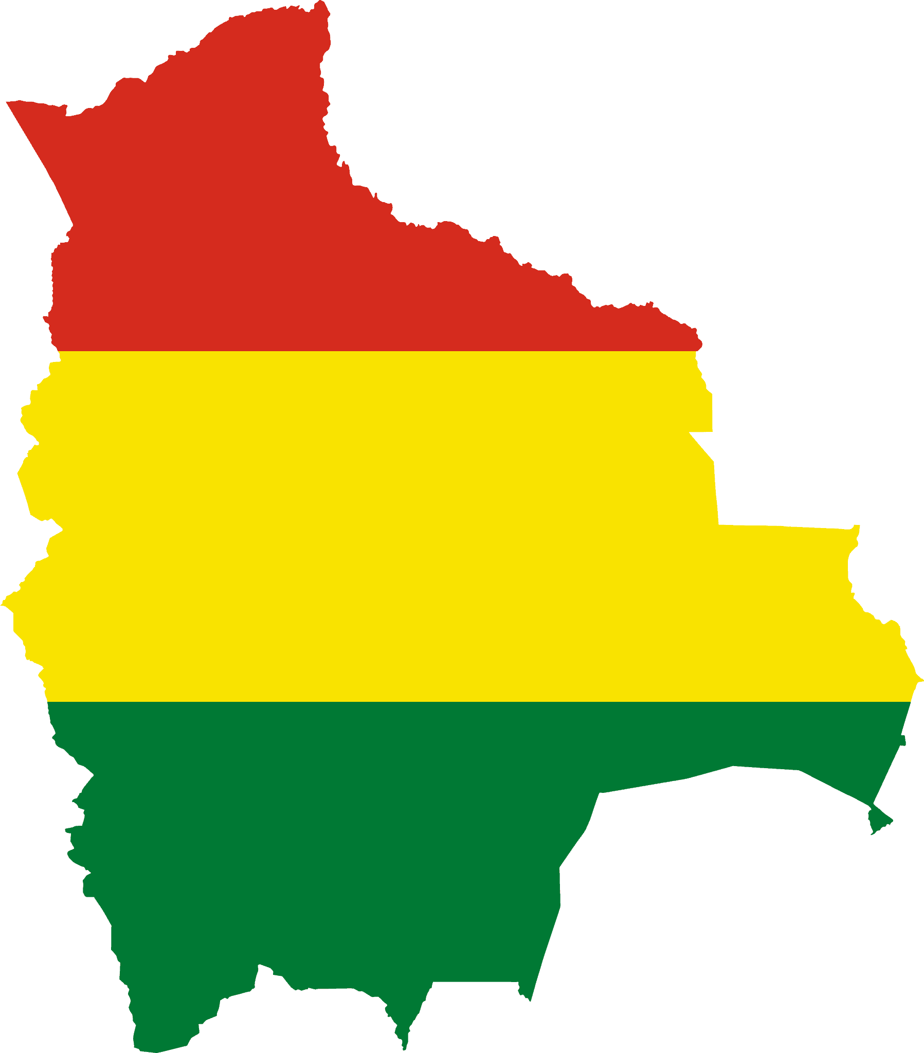
Bolivia
-
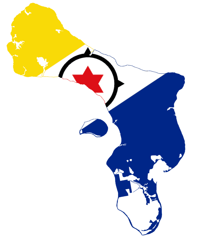
Bonaire
-
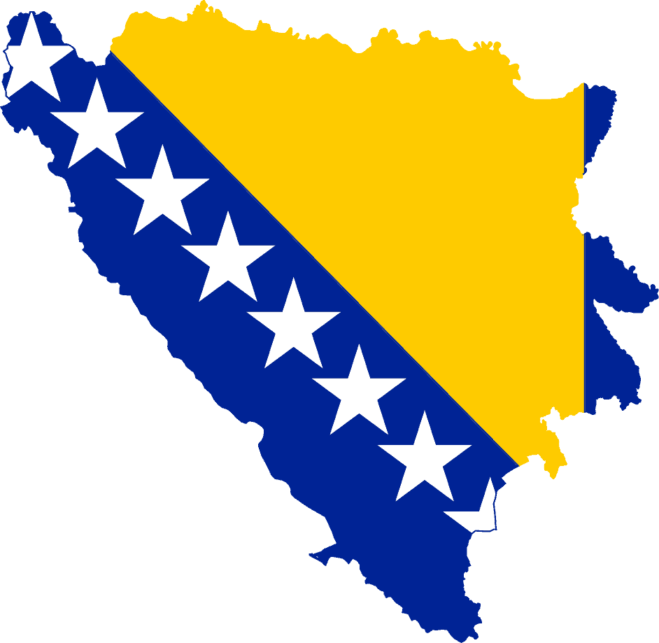
Bosnia and Herzegovina
-
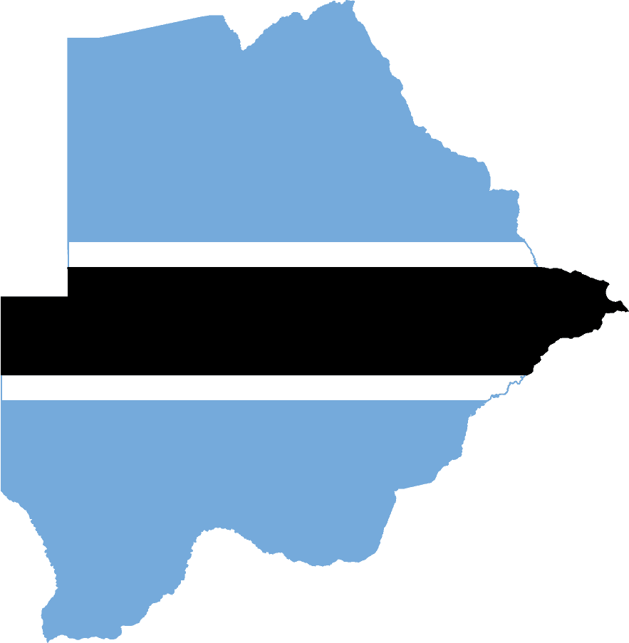
Botswana
-
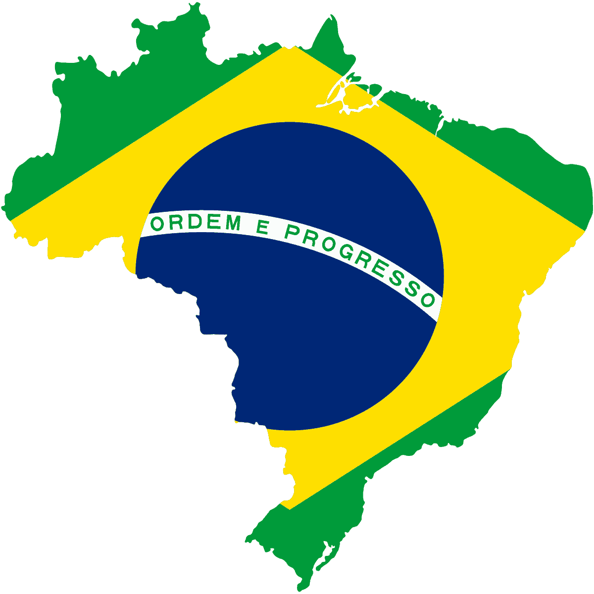
Brazil
-
British Indian Ocean Territory
-
British Virgin Islands
-
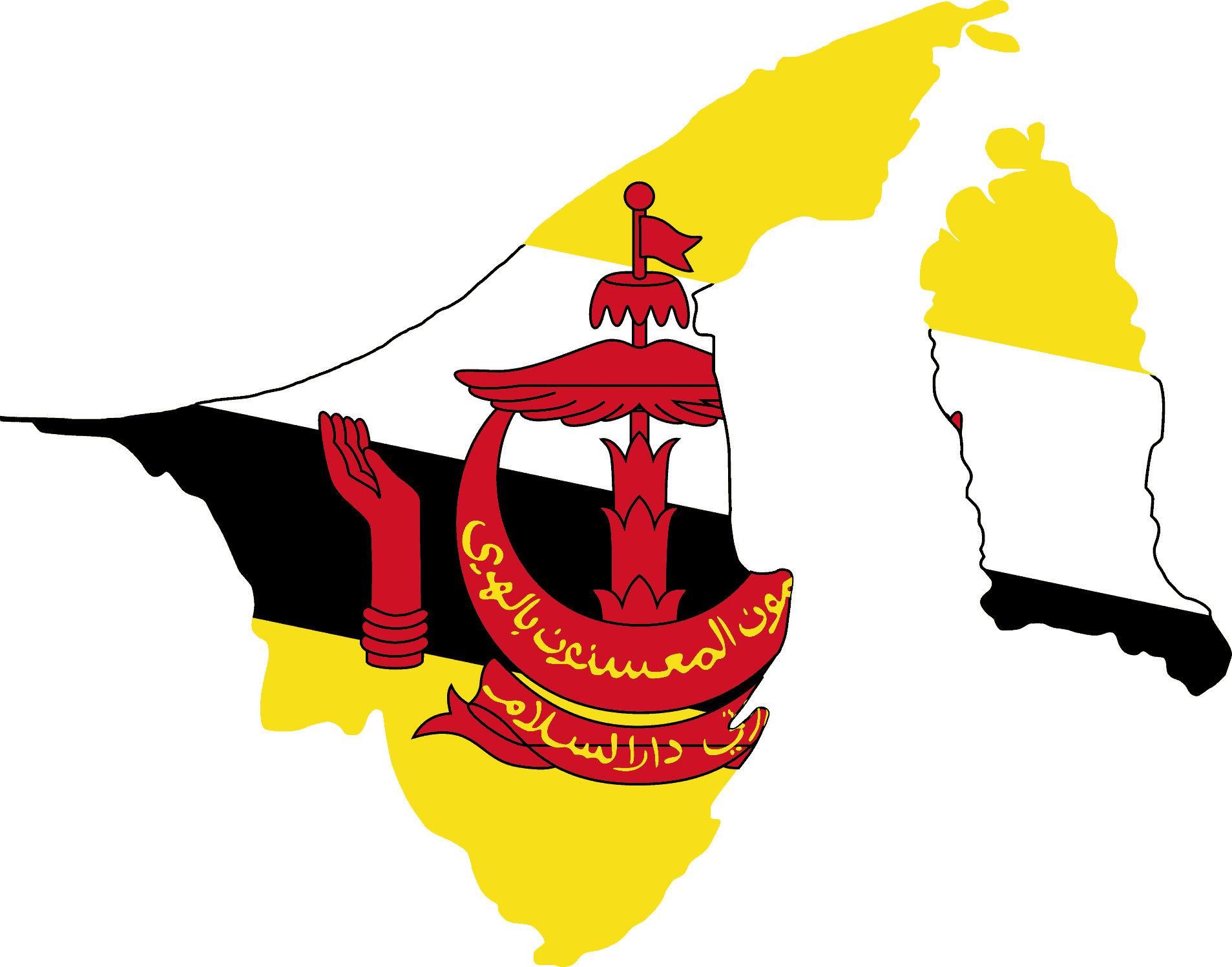
Brunei
-
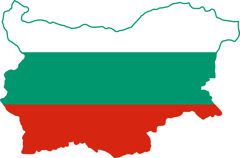
Bulgaria
-
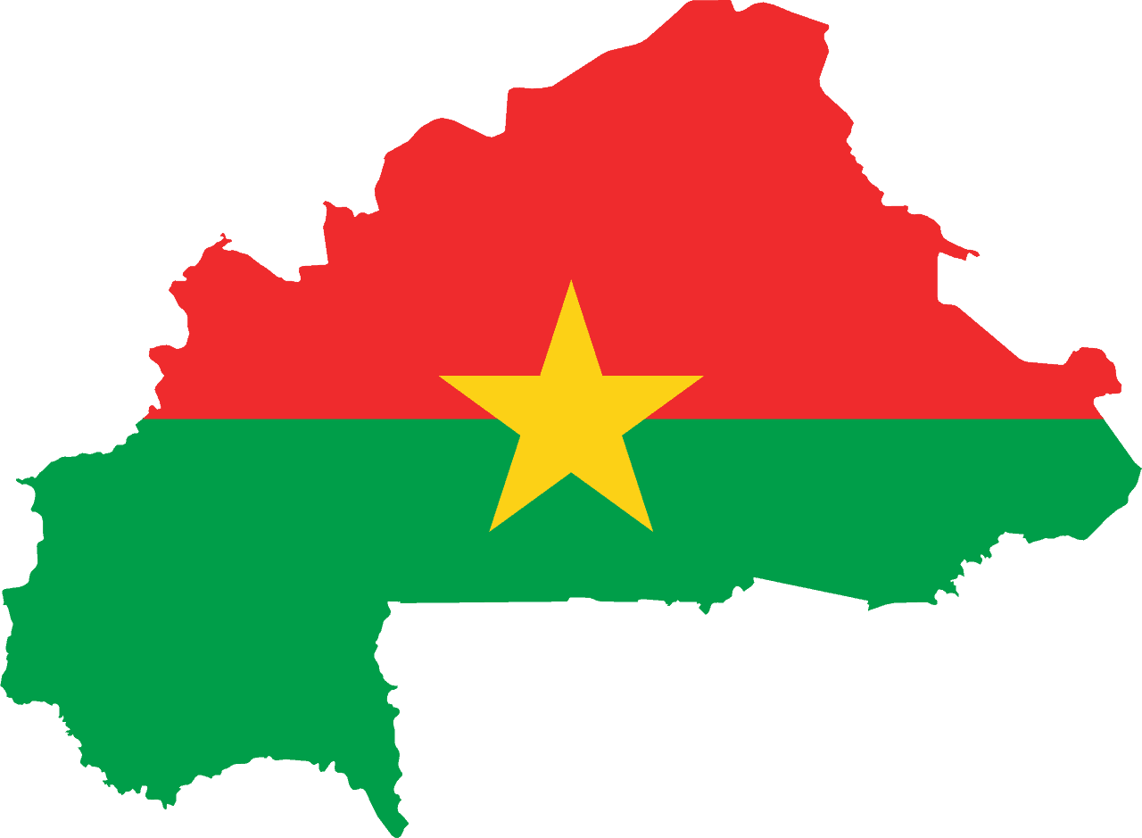
Burkina Faso
-
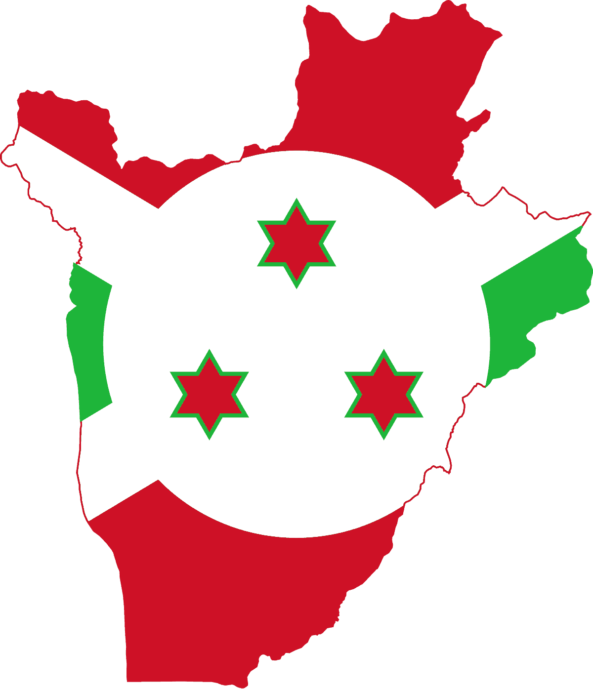
Burundi
-
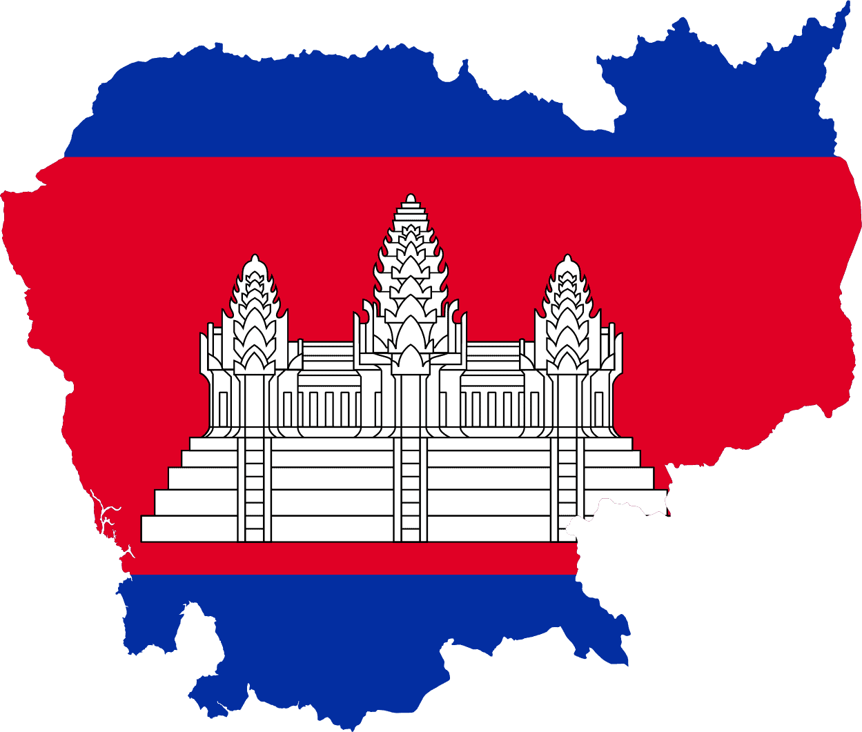
Cambodia
-
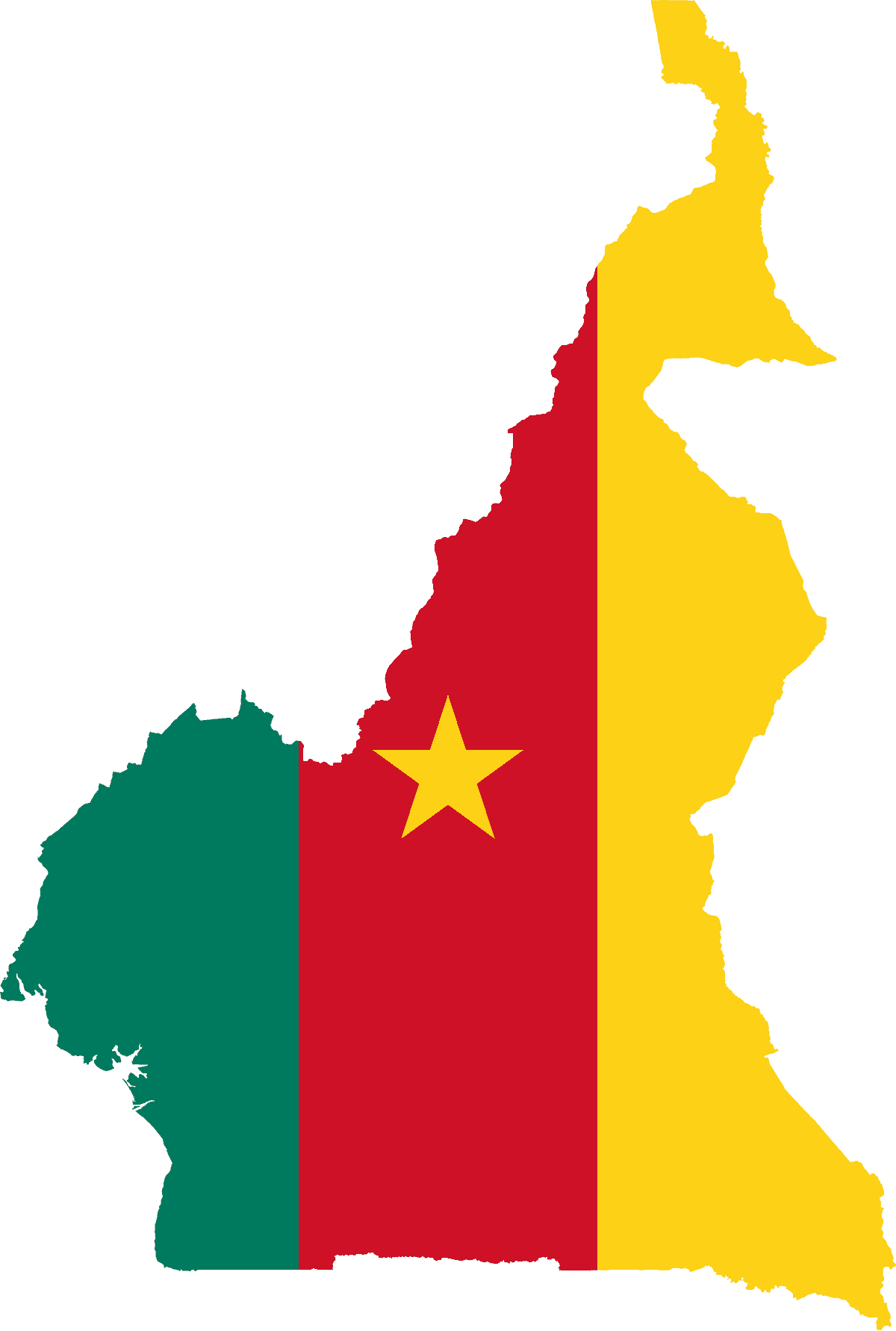
Cameroon
-
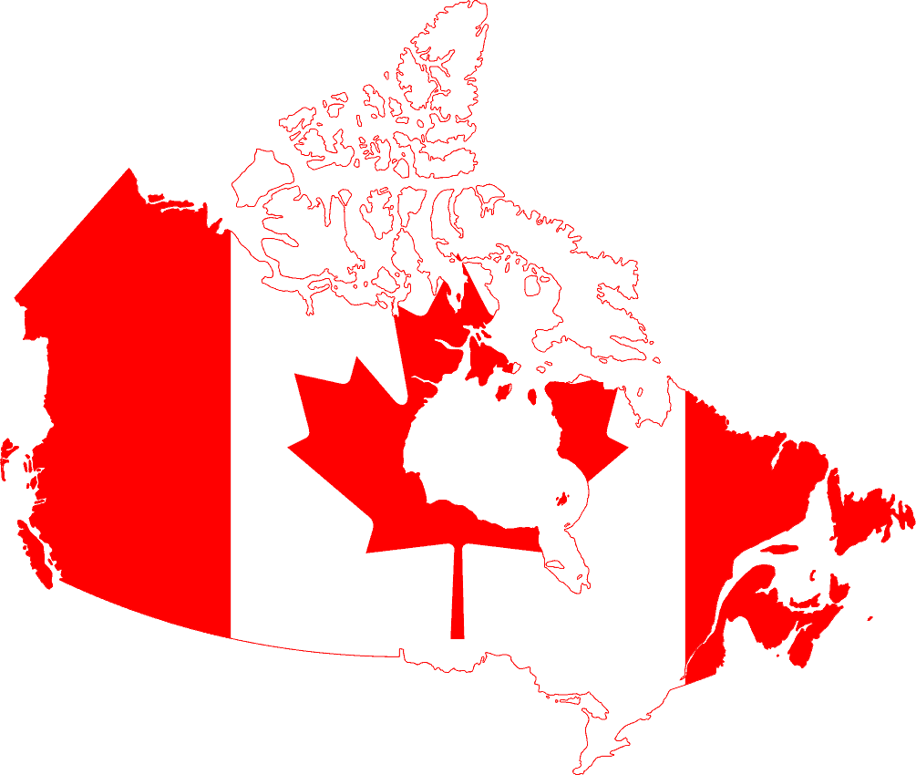
Canada
-
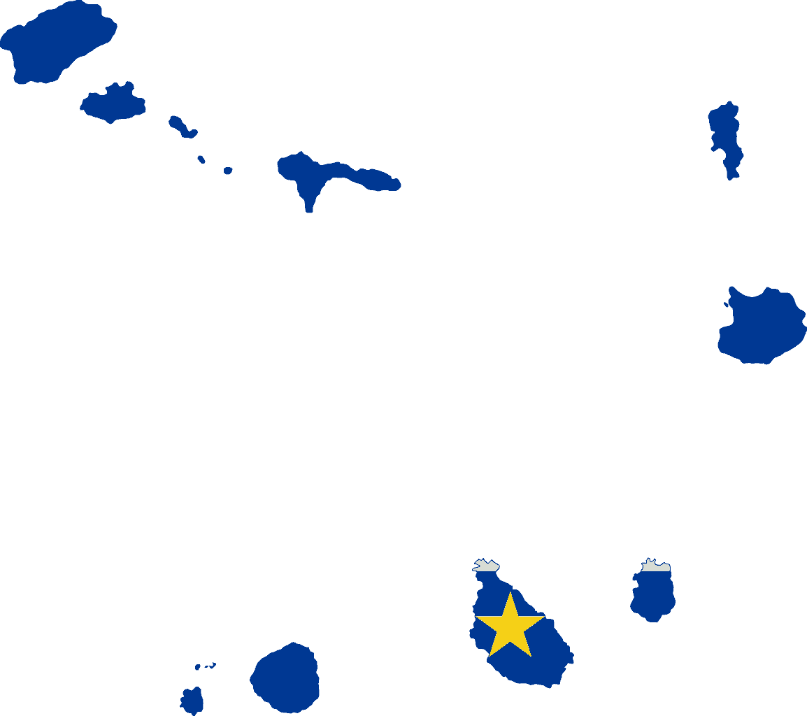
Cape Verde
-
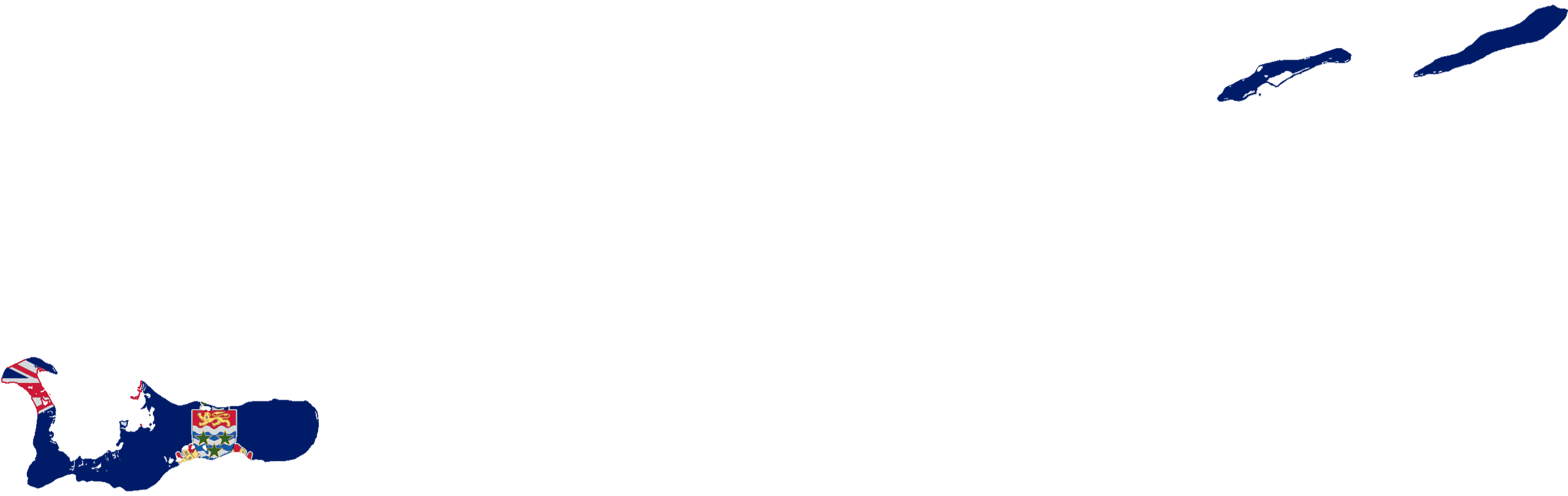
Cayman Islands
-
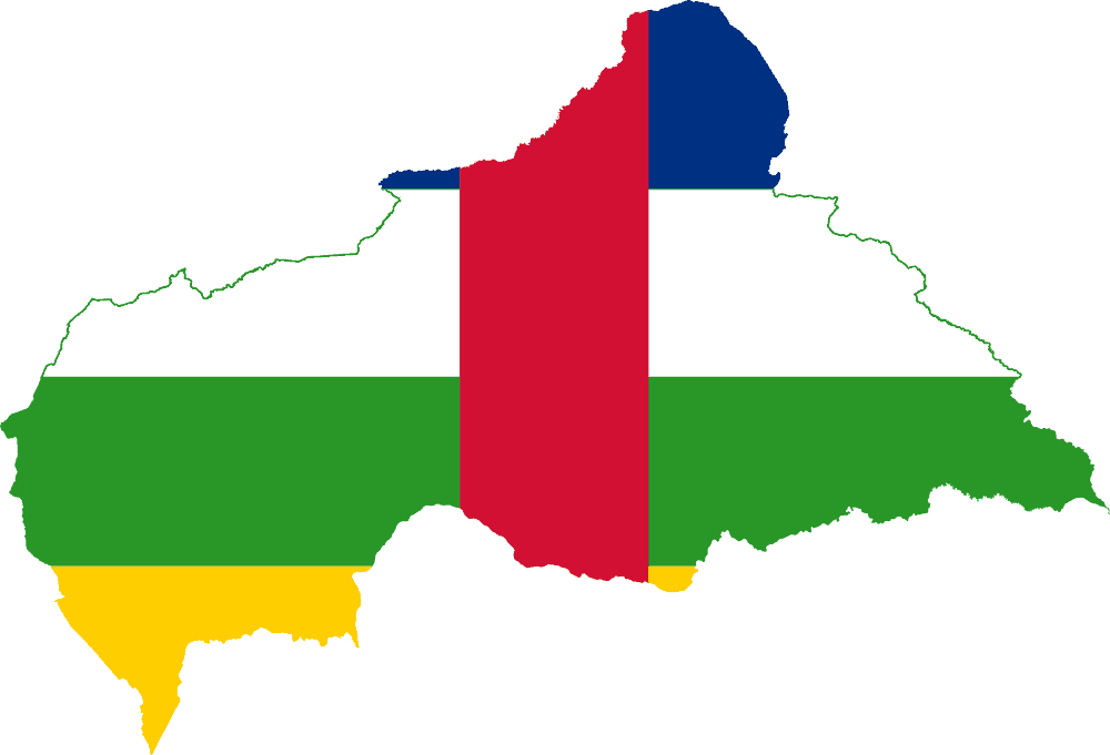
Central African Republic
-
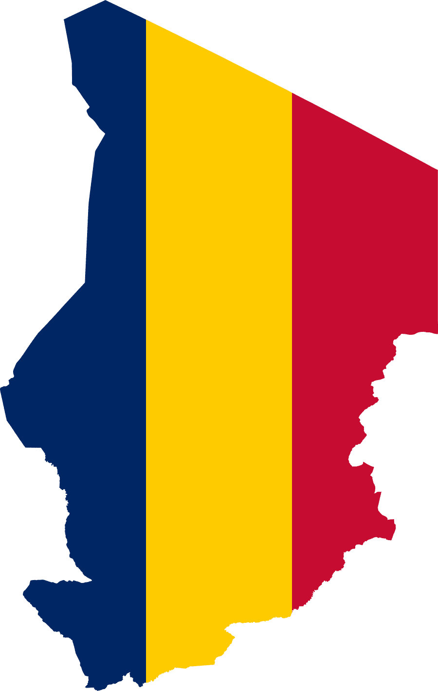
Chad
-
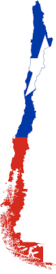
Chile
-
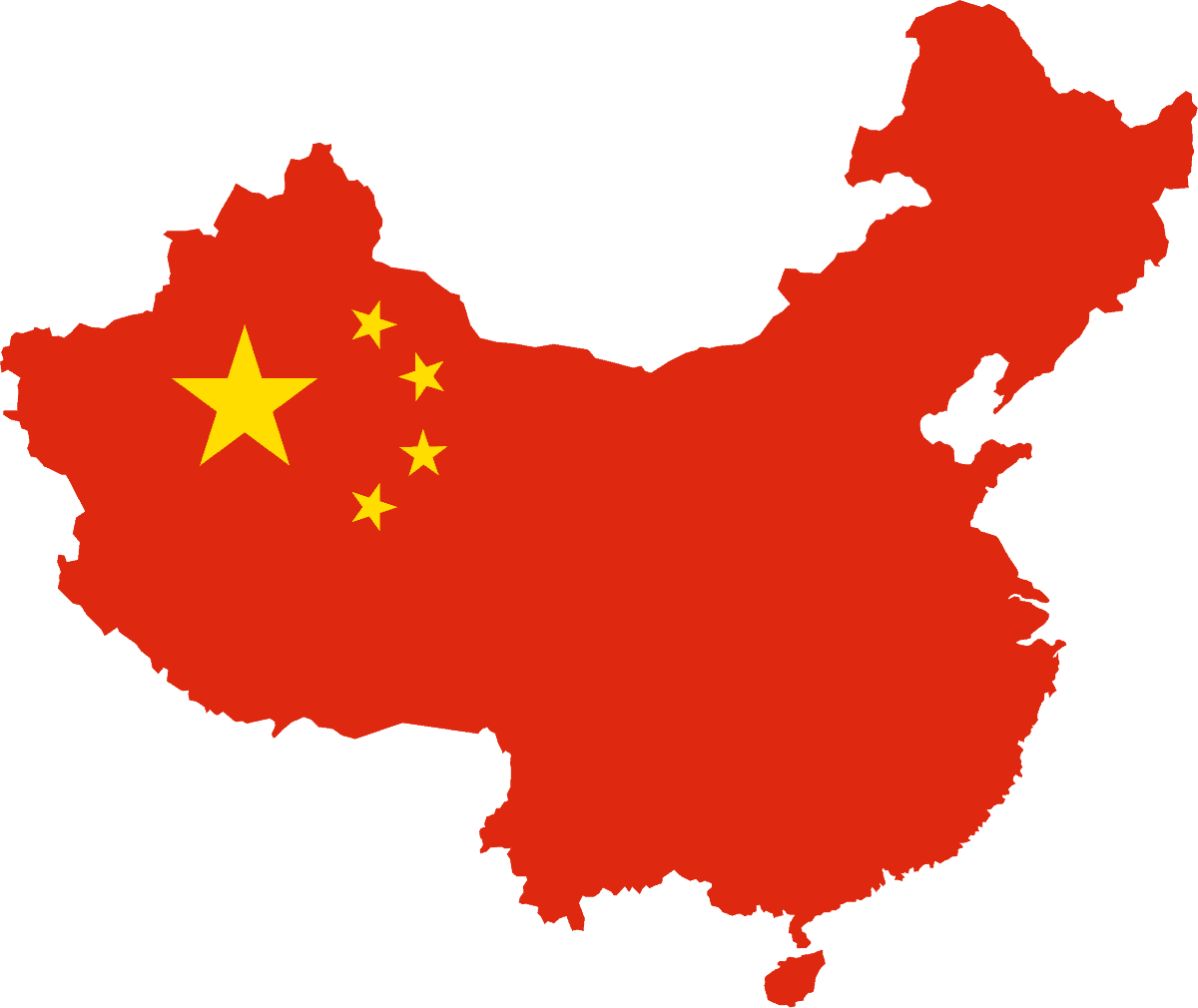
China
-
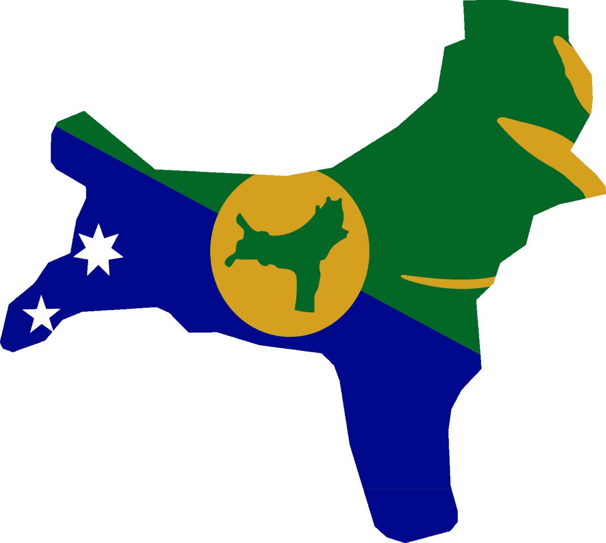
Christmas Island
-
Cocos (Keeling) Islands
-
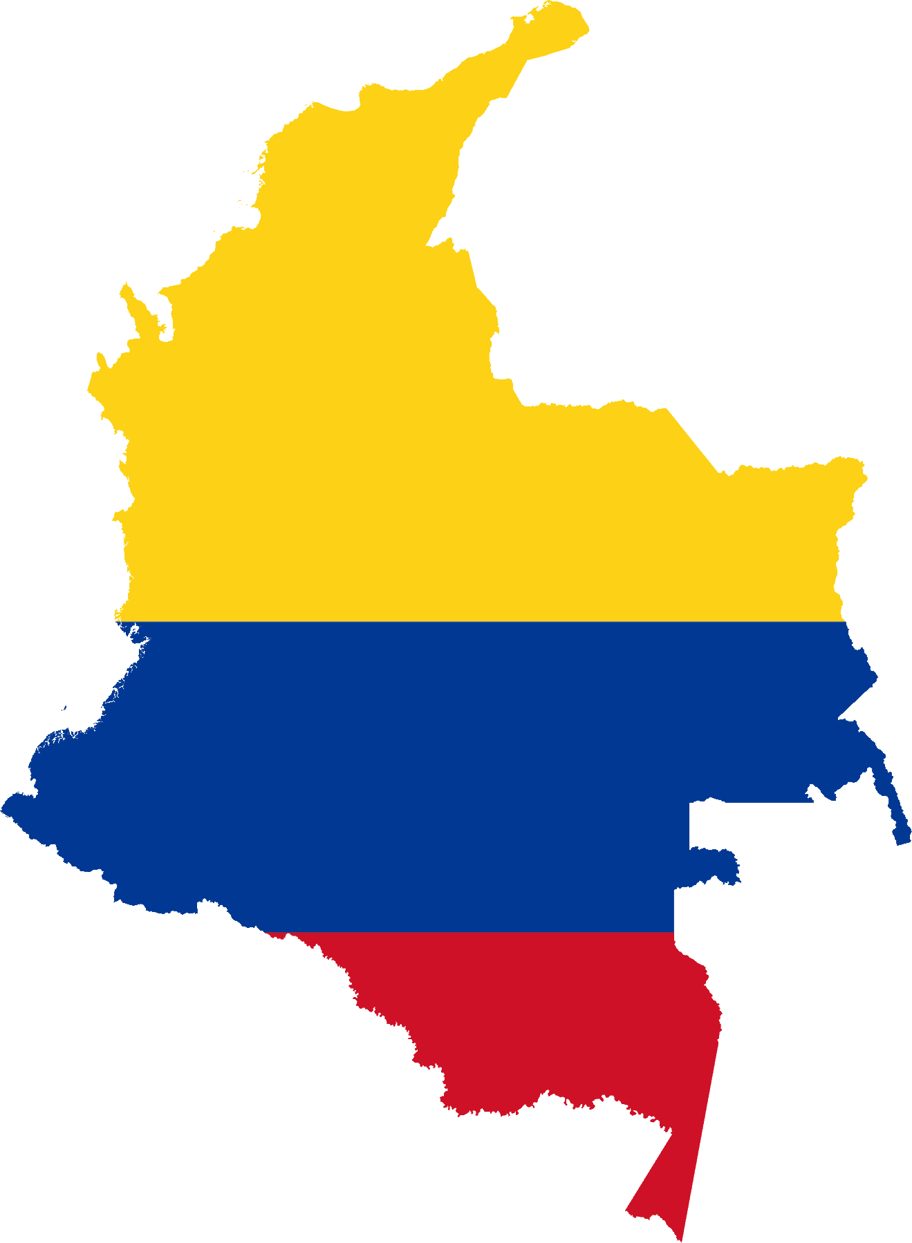
Colombia
-
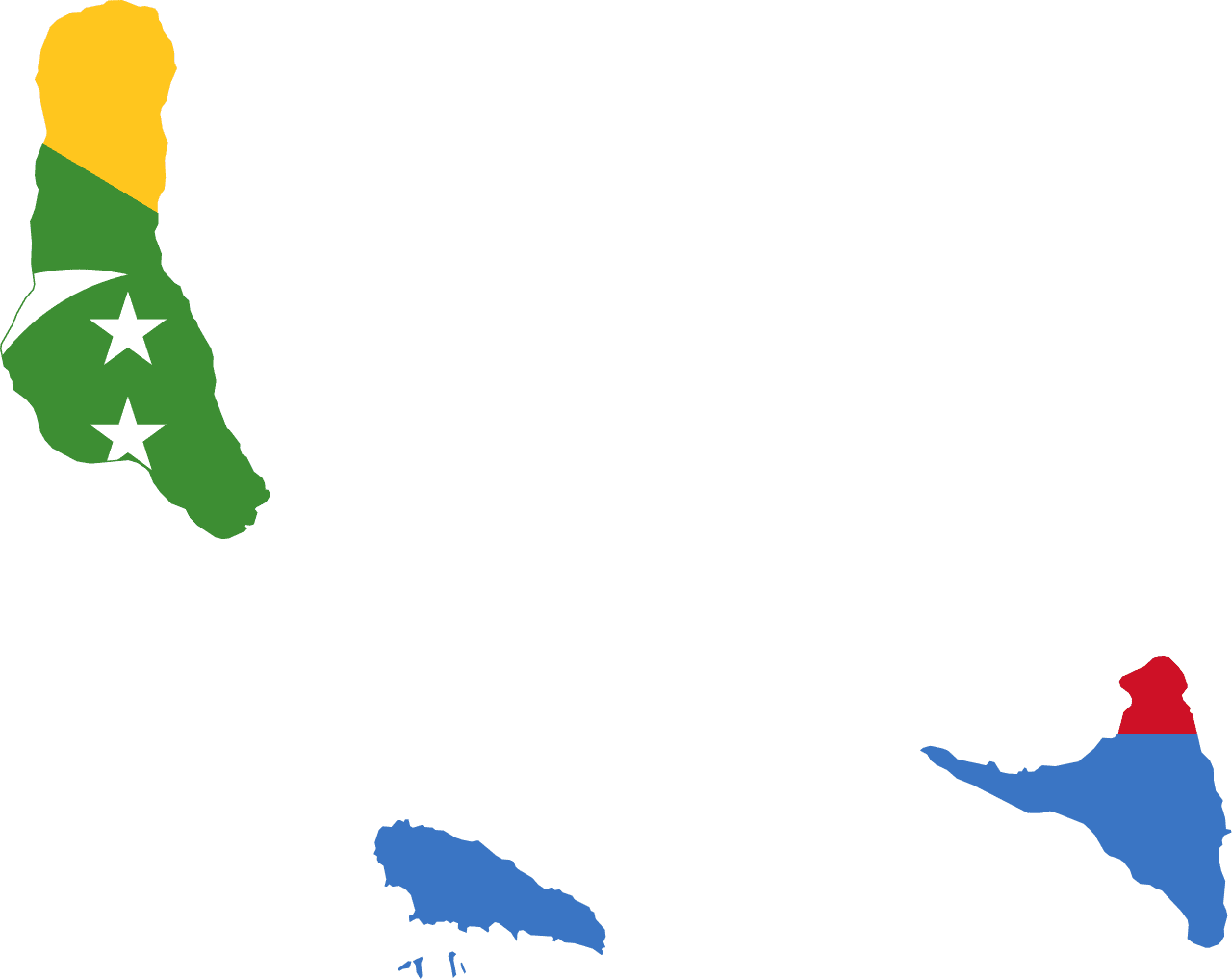
Comoros
-
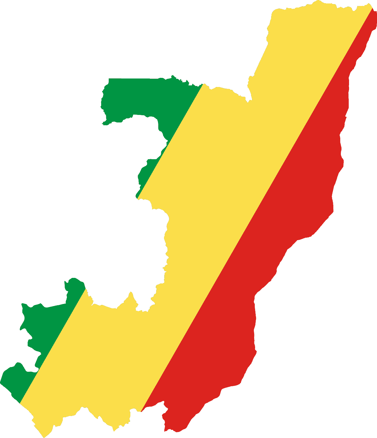
Republic of Congo
-
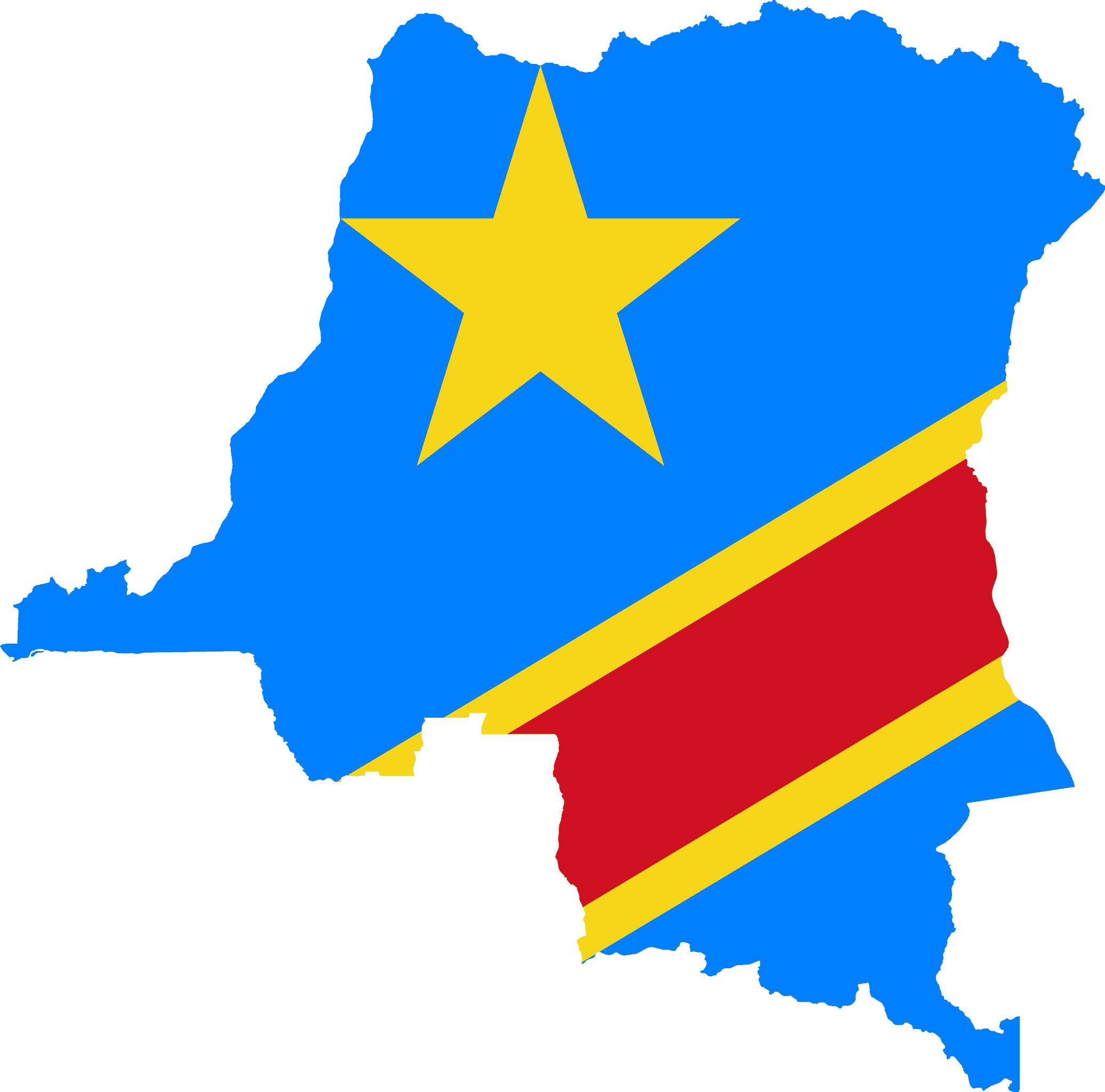
Democratic Republic of the Congo
-
Cook Islands
-
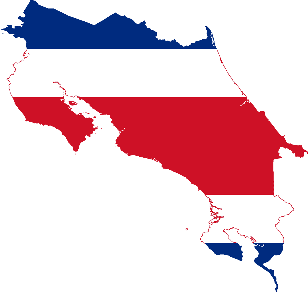
Costa Rica
-
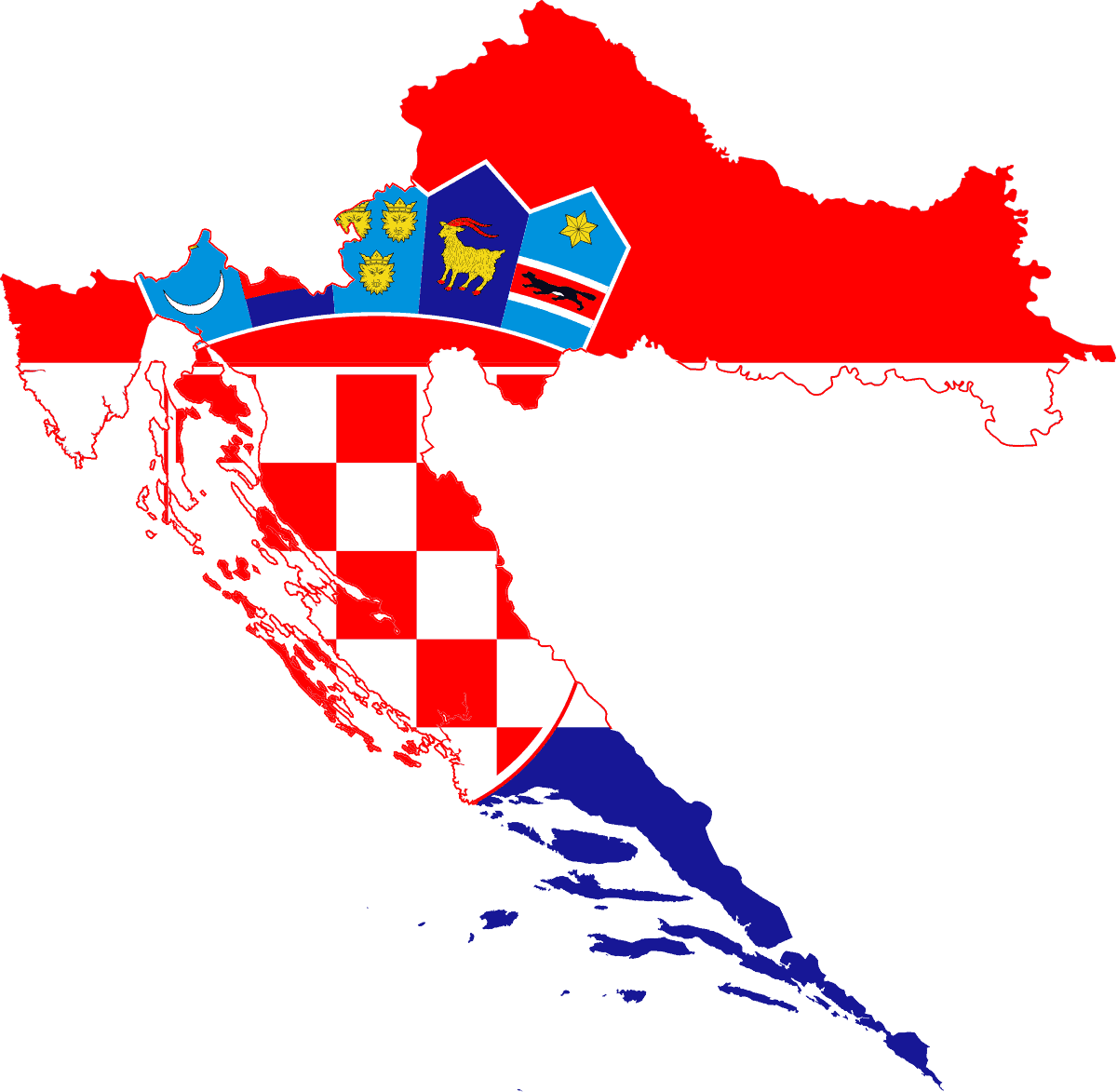
Croatia
-
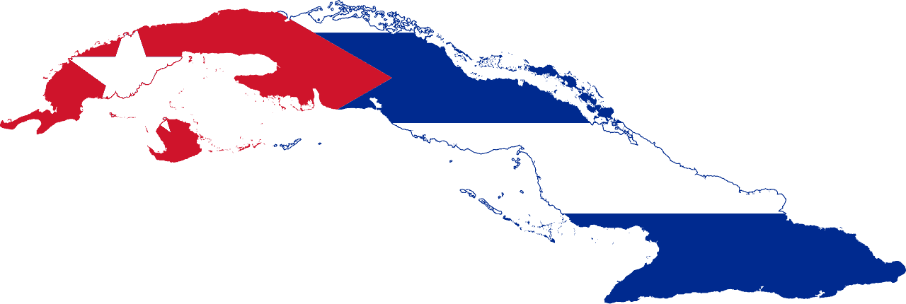
Cuba
-
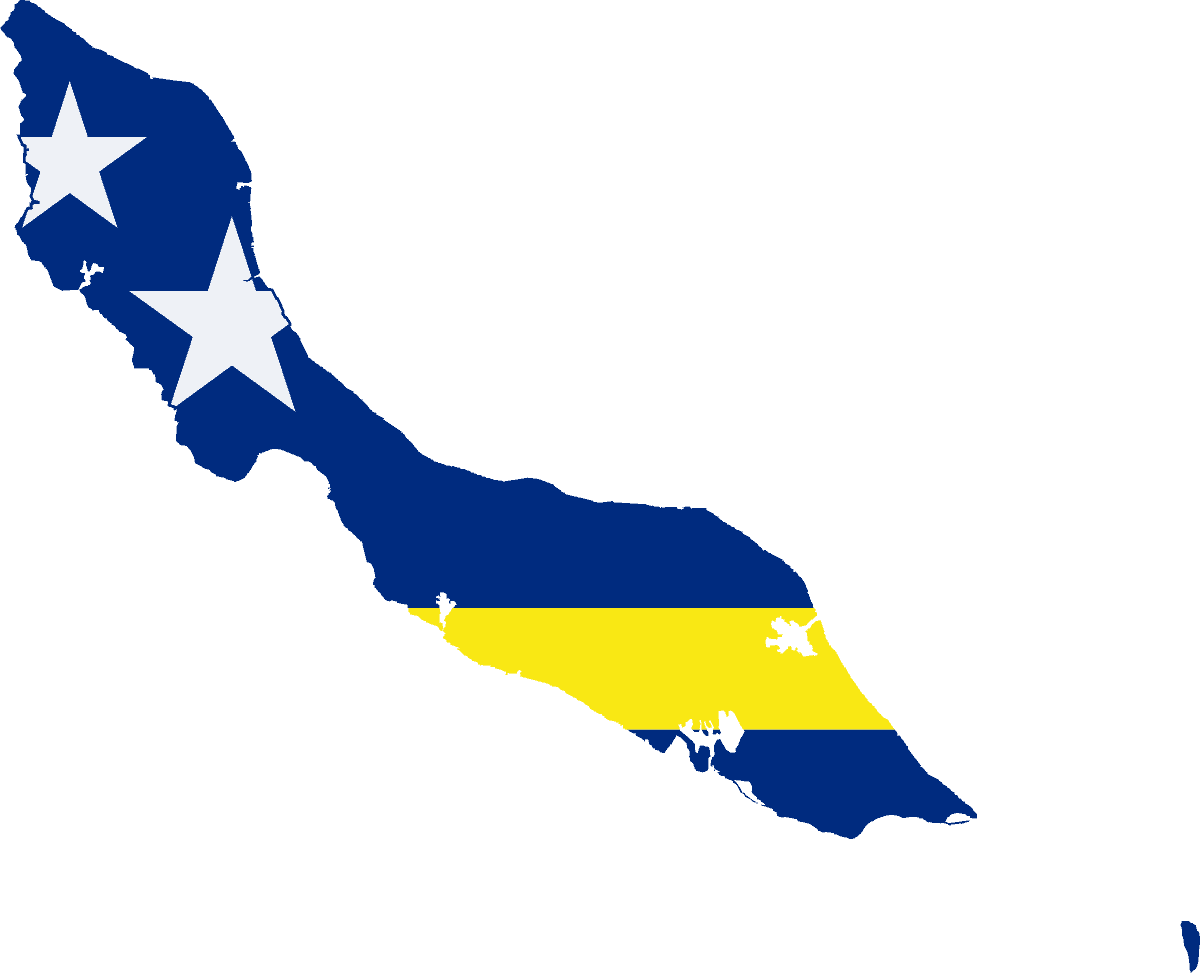
Curaçao
-
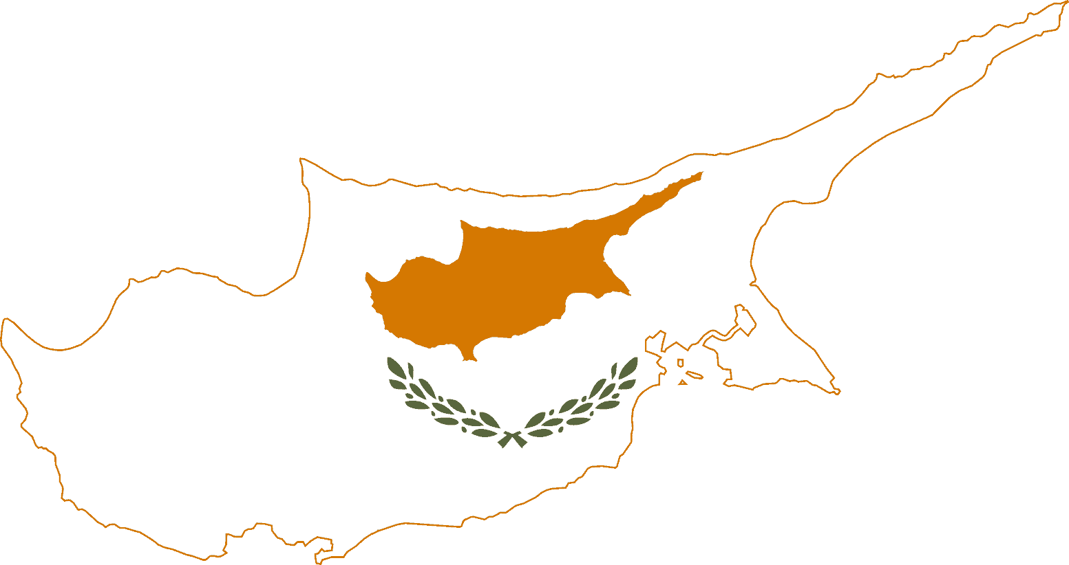
Cyprus
-
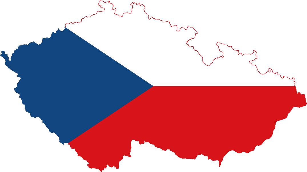
Czech Republic
-
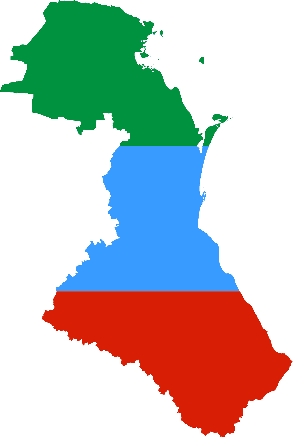
Dagestan
-
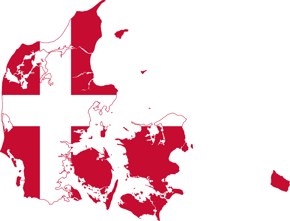
Denmark
-
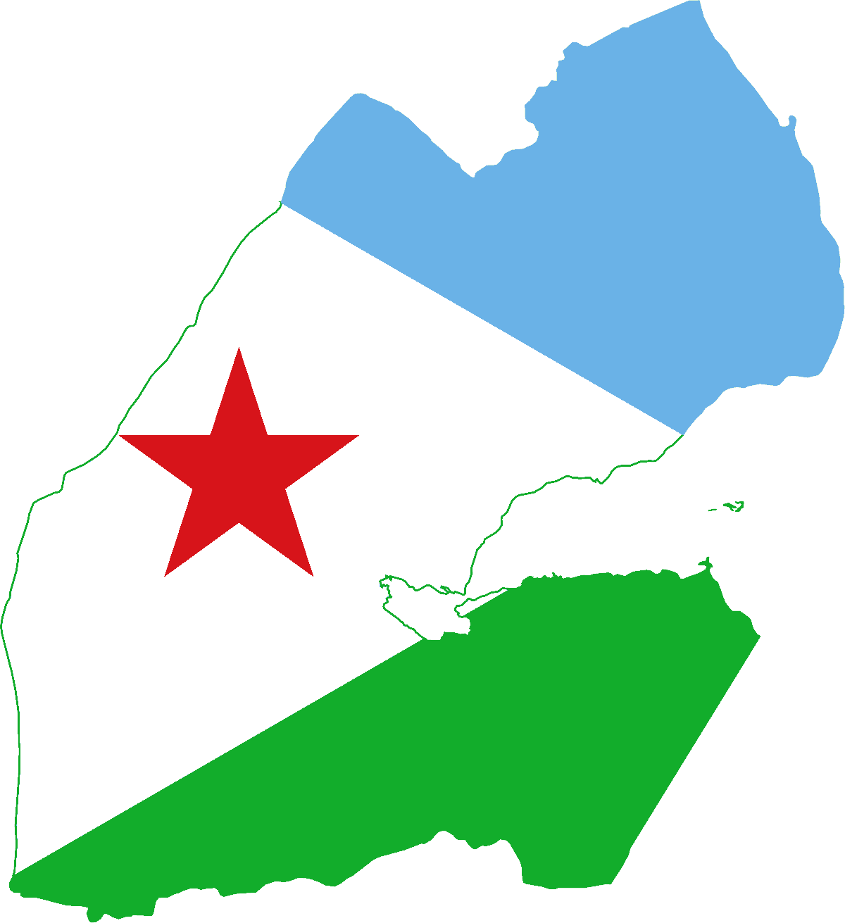
Djibouti
-
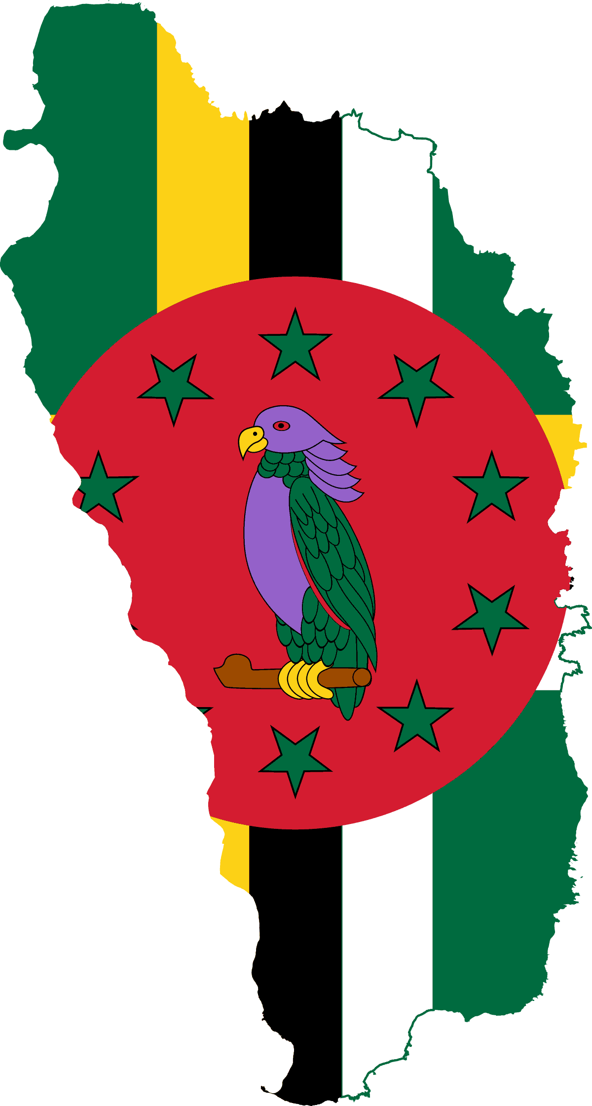
Dominica
-
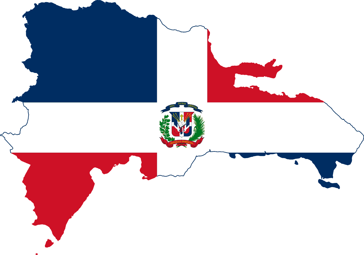
Dominican Republic
-
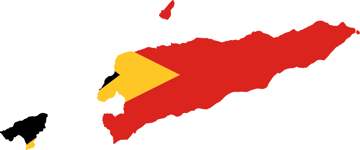
East Timor (Timor-Leste)
-
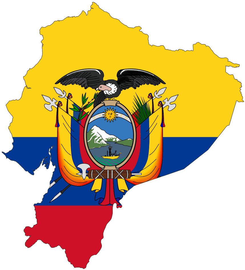
Ecuador
-
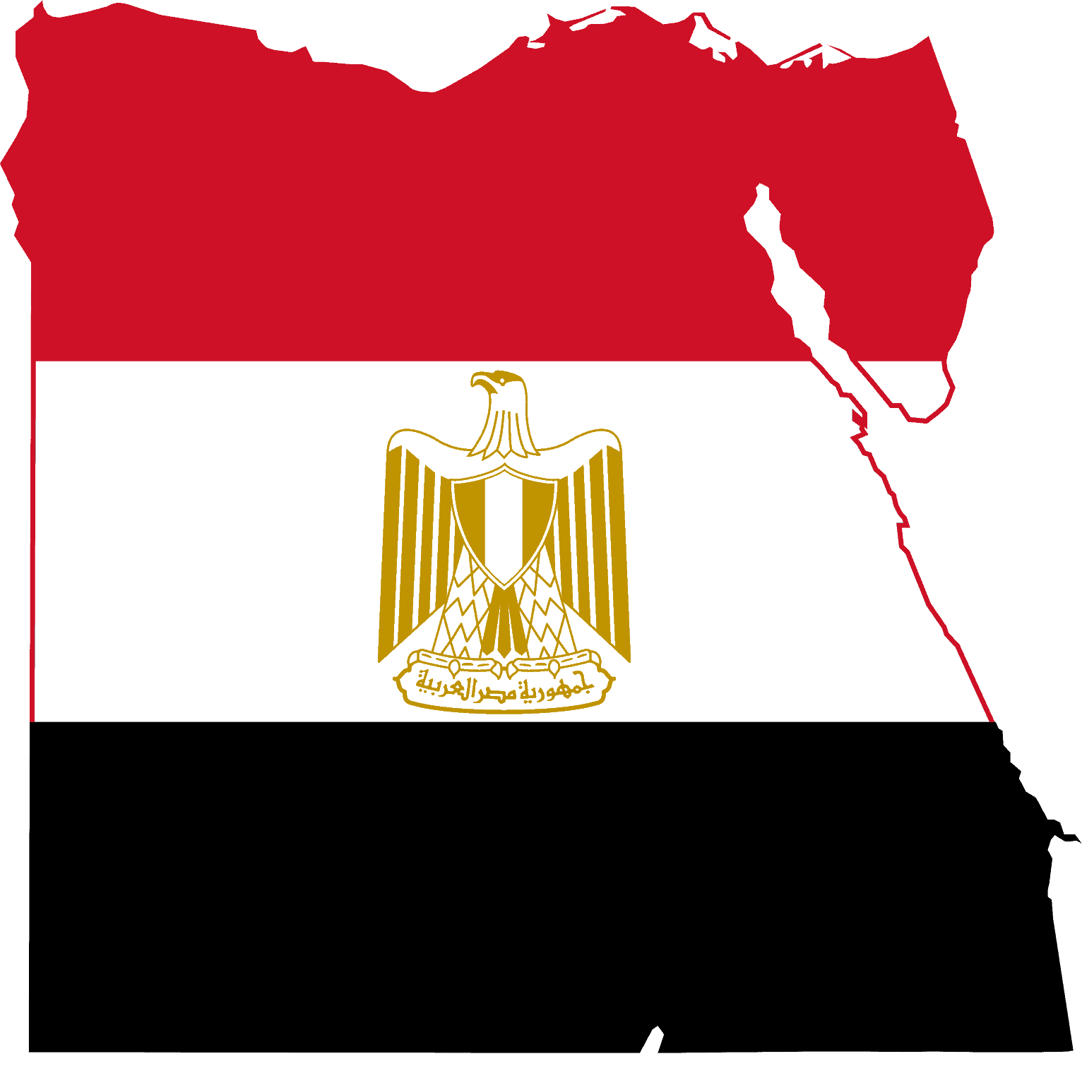
Egypt
-
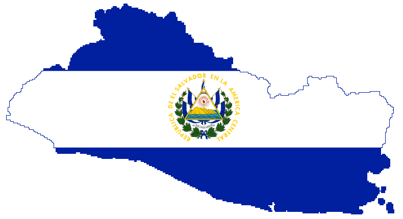
El Salvador
-
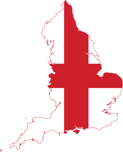
England
-
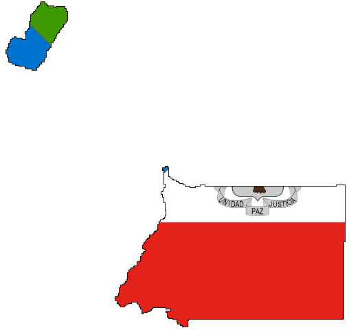
Equatorial Guinea
-
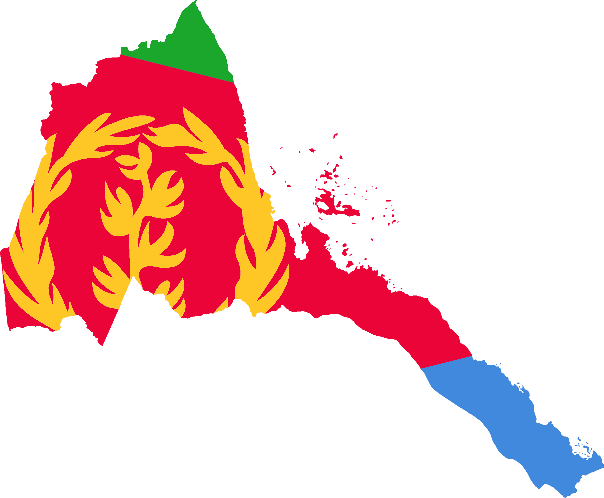
Eritrea
-
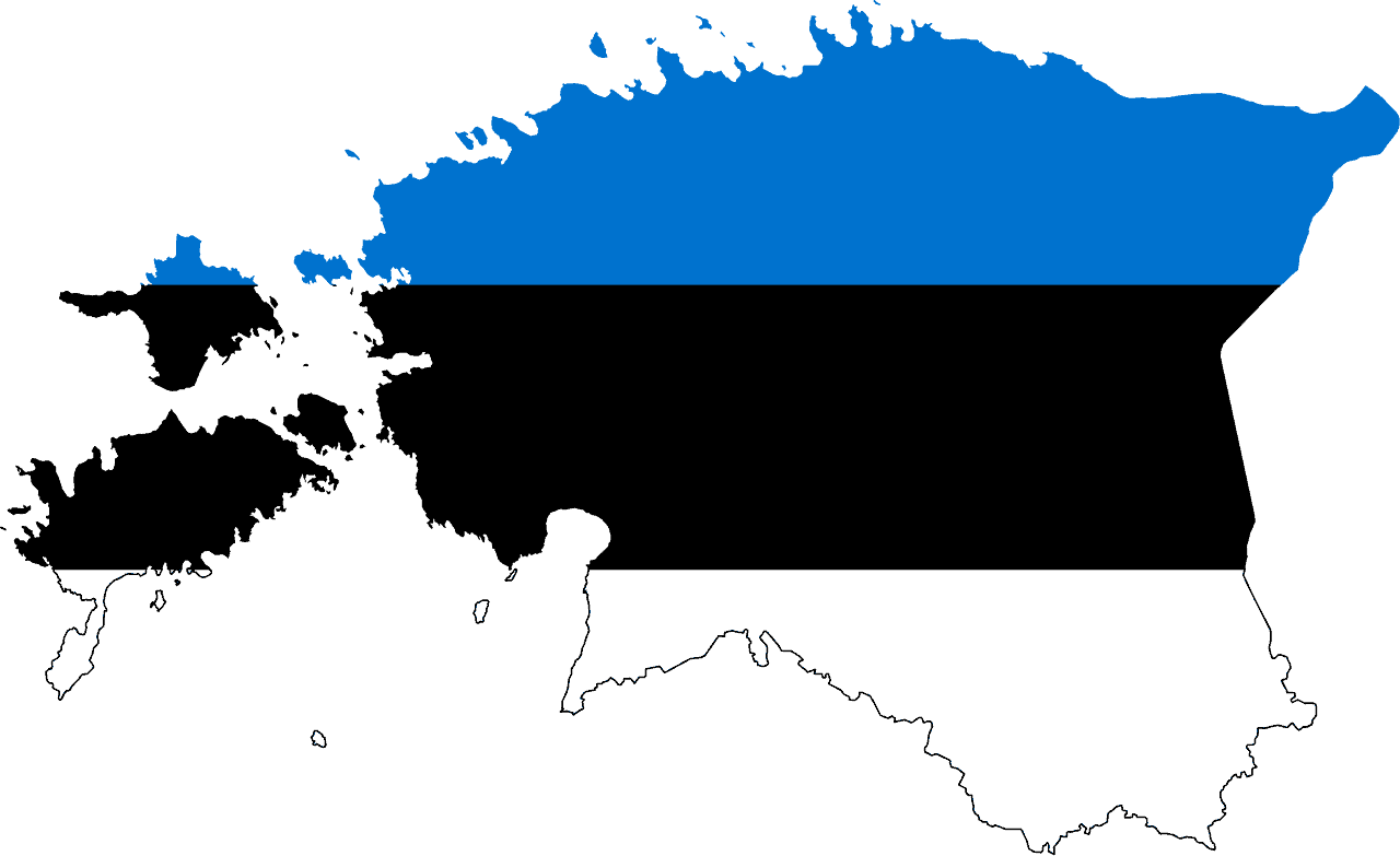
Estonia
-
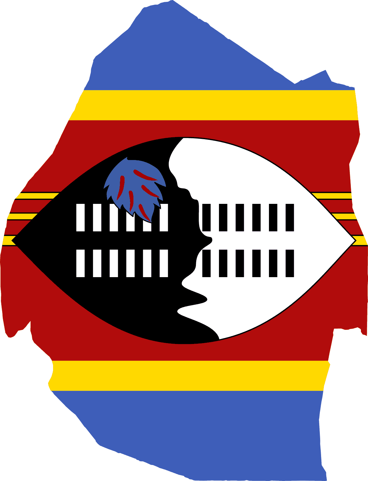
Eswatini (Swaziland)
-
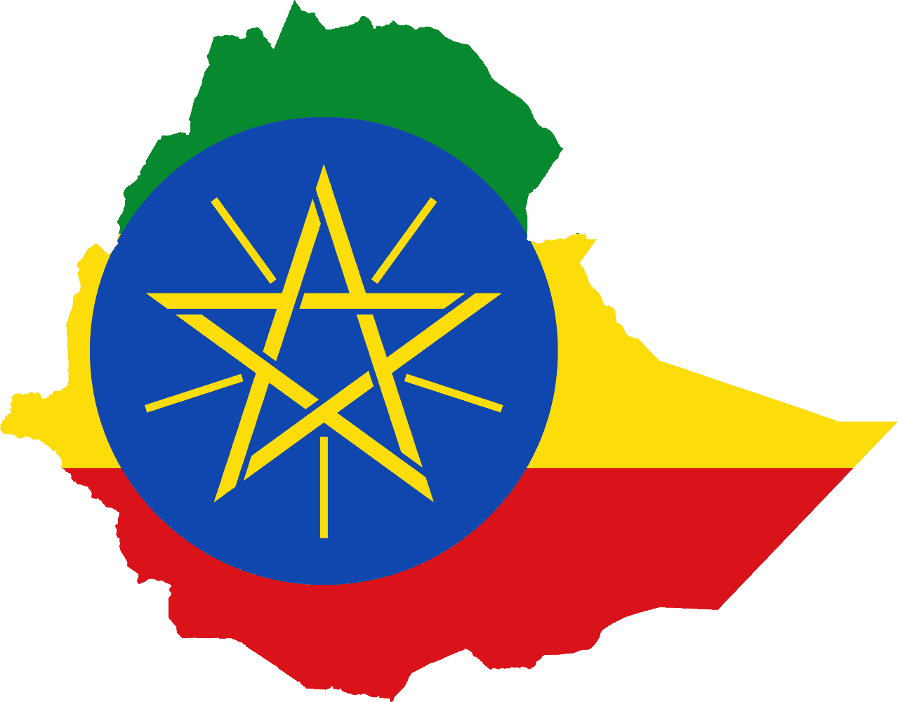
Ethiopia
-
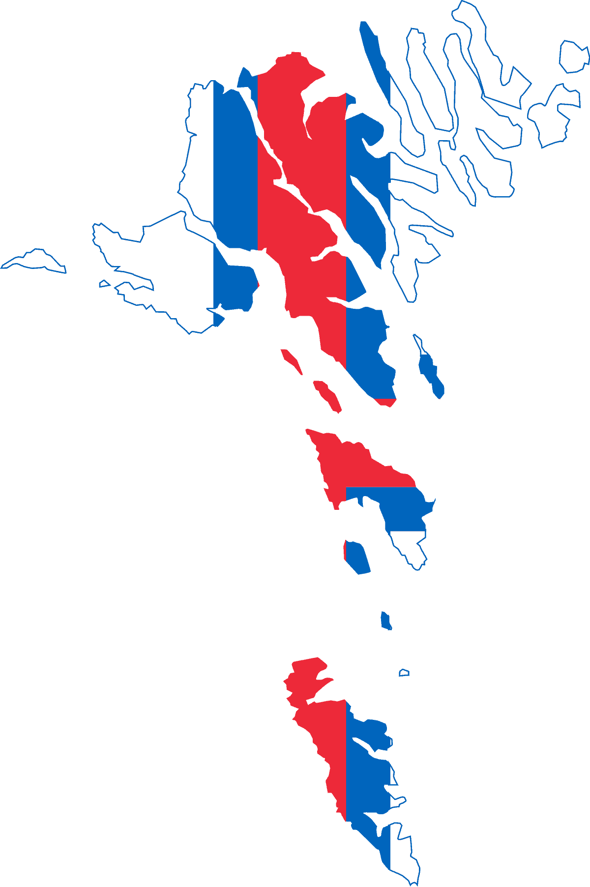
Faroe Islands
-
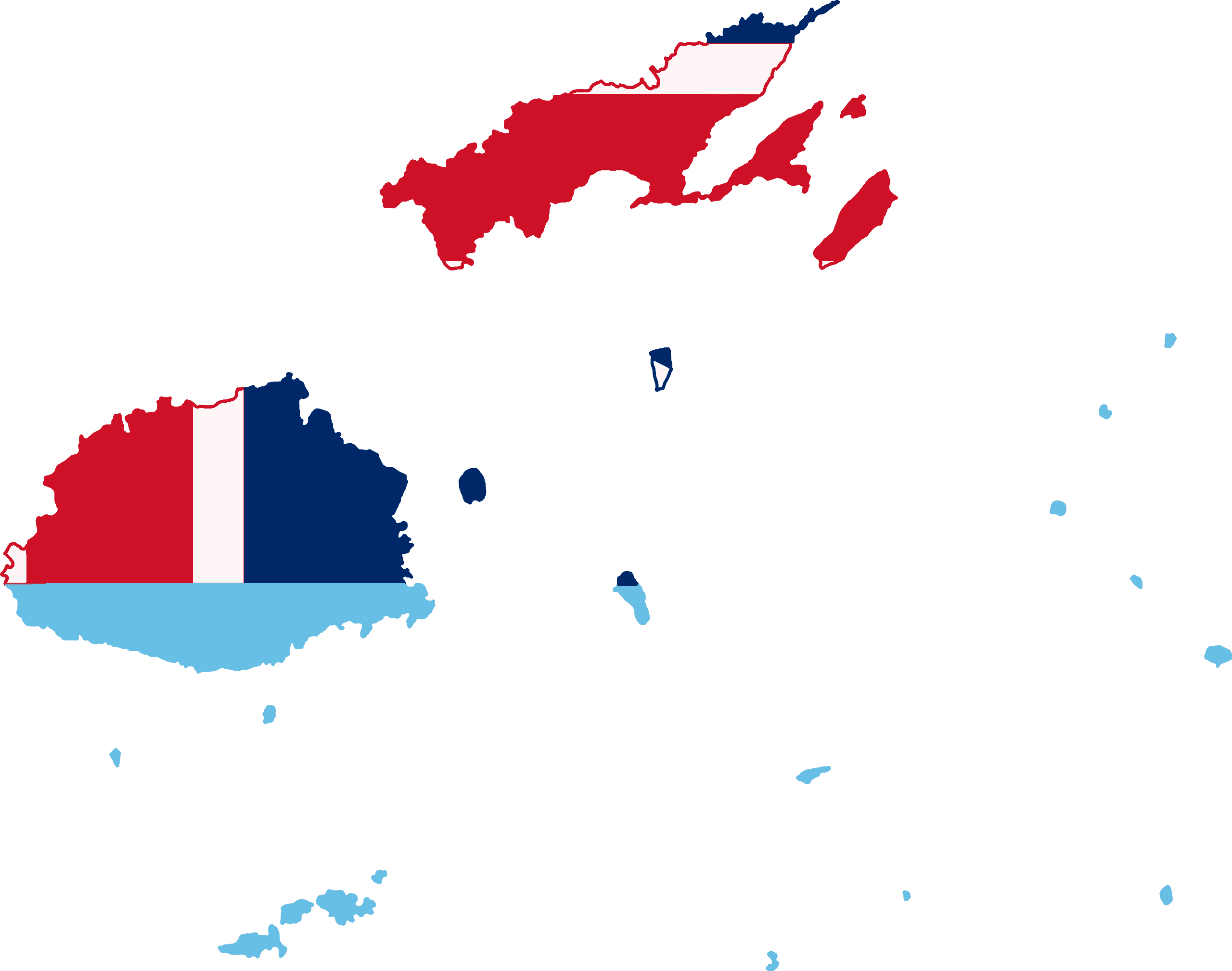
Fiji
-
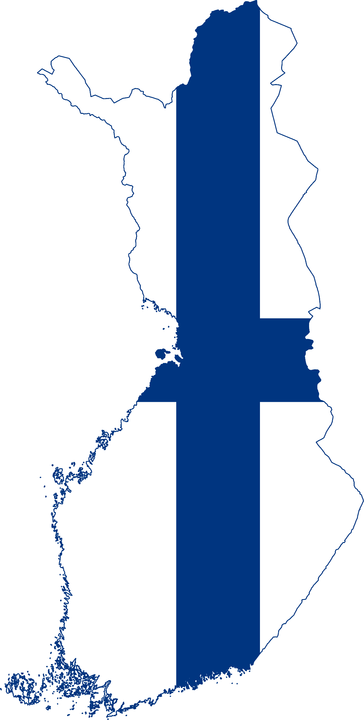
Finland
-
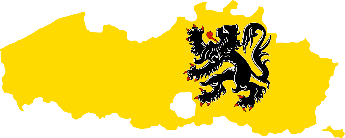
Flanders
-
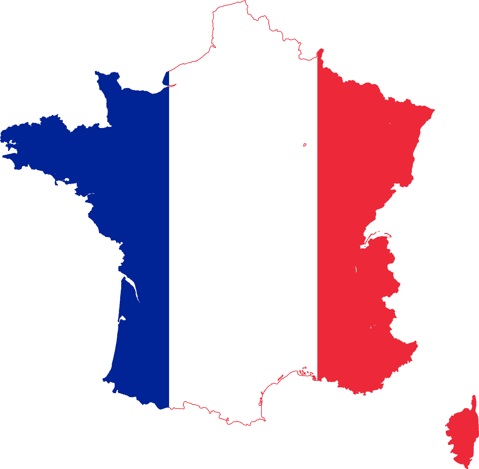
France
-
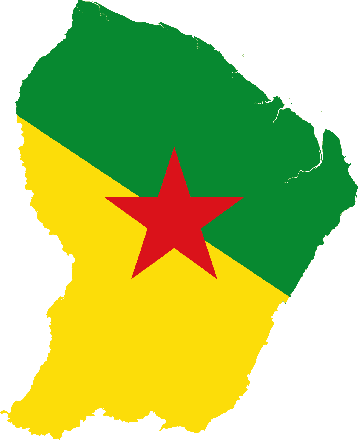
French Guiana
-
French Polynesia
-
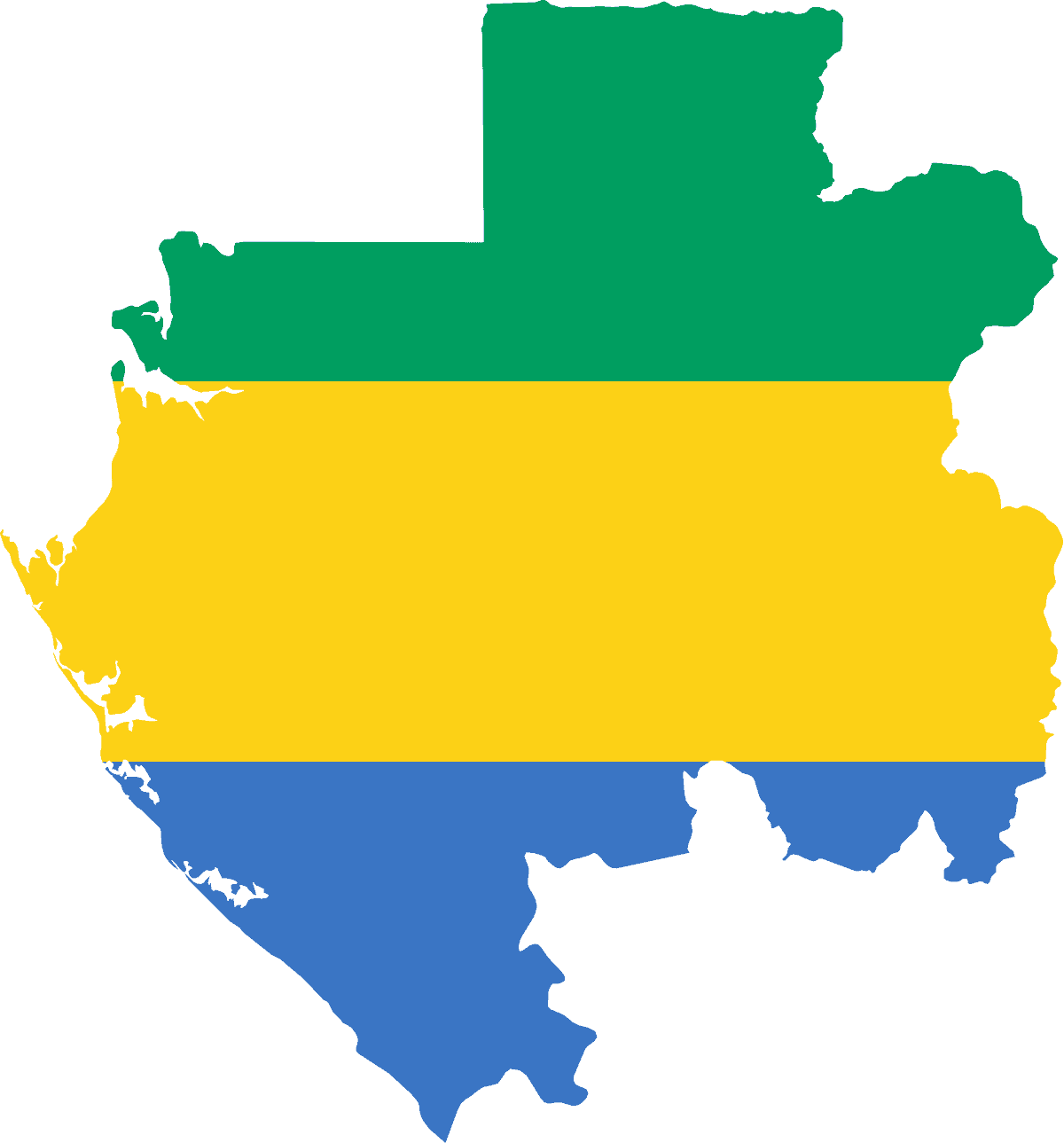
Gabon
-
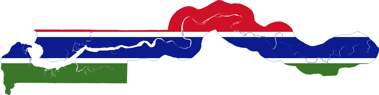
The Gambia
-
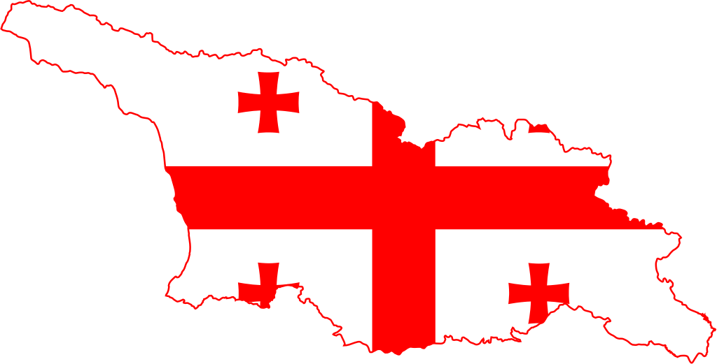
Georgia
-
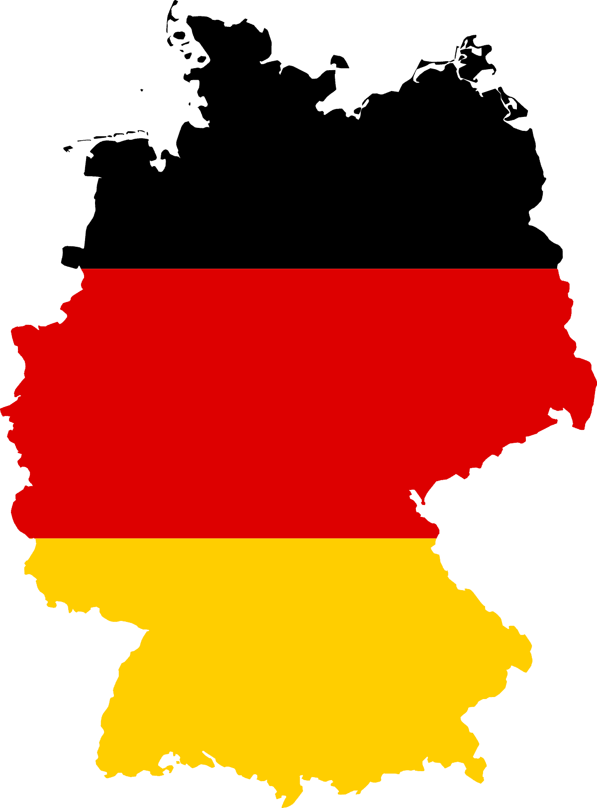
Germany
-
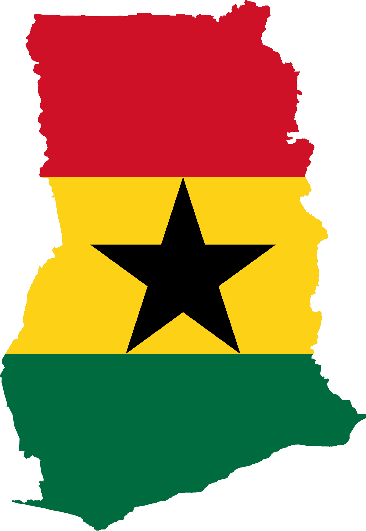
Ghana
-
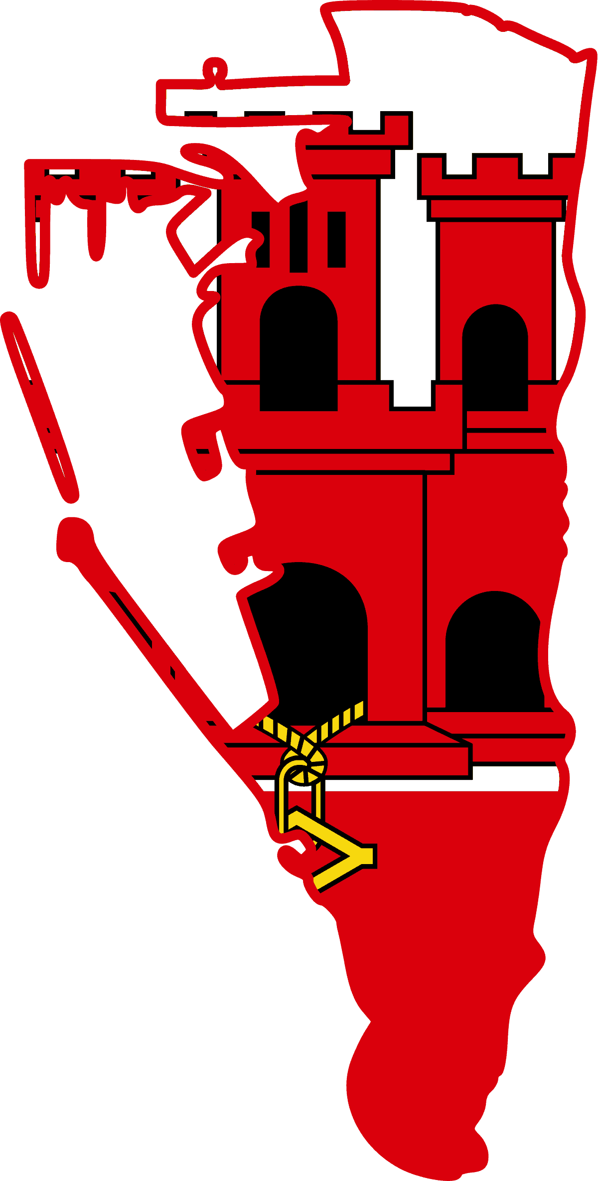
Gibraltar
-
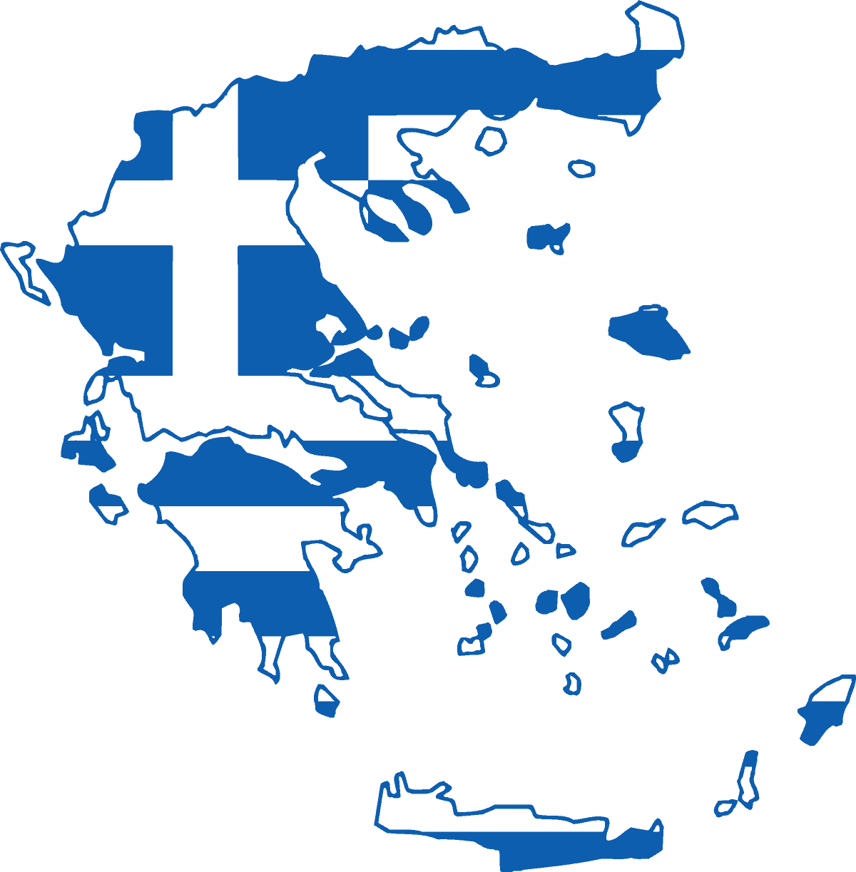
Greece
-
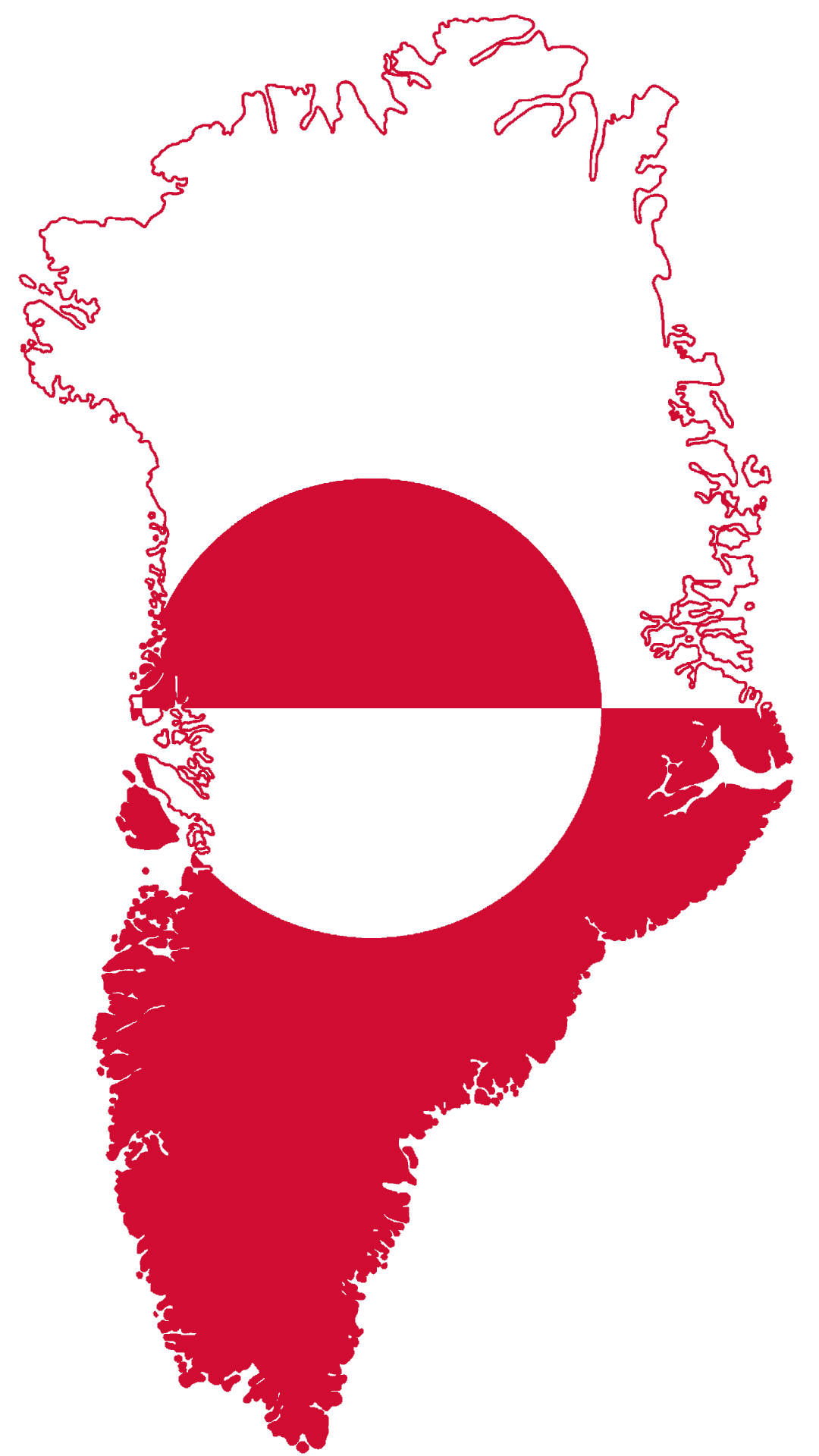
Greenland
-
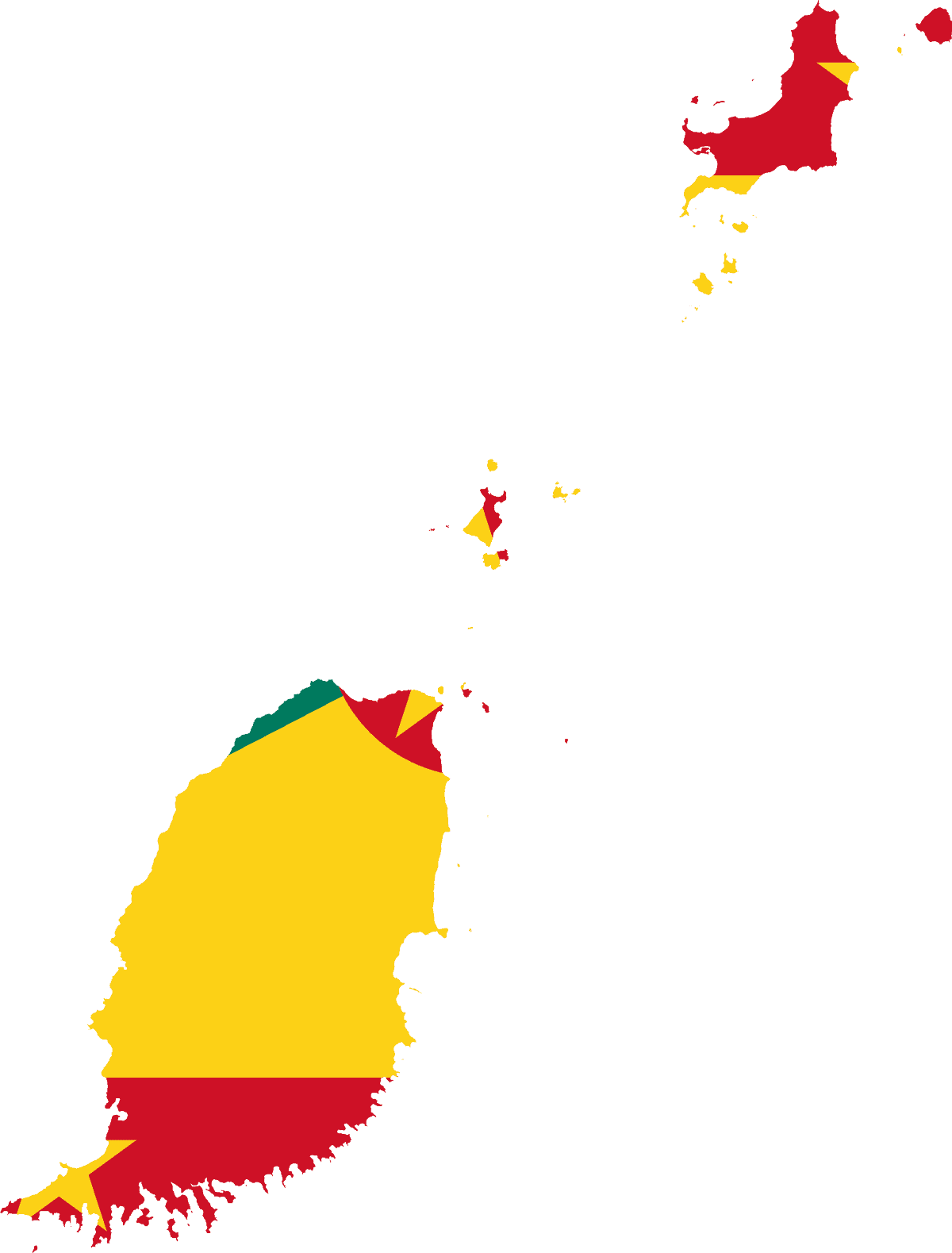
Grenada
-
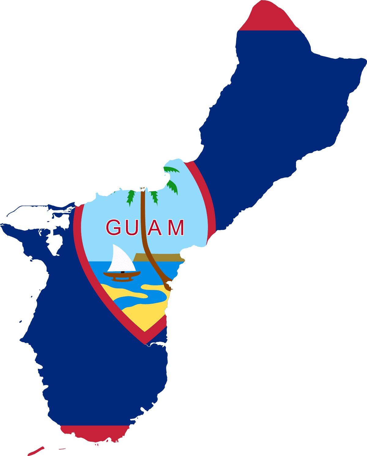
Guam
-
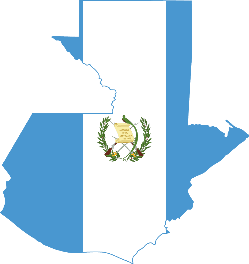
Guatemala
-
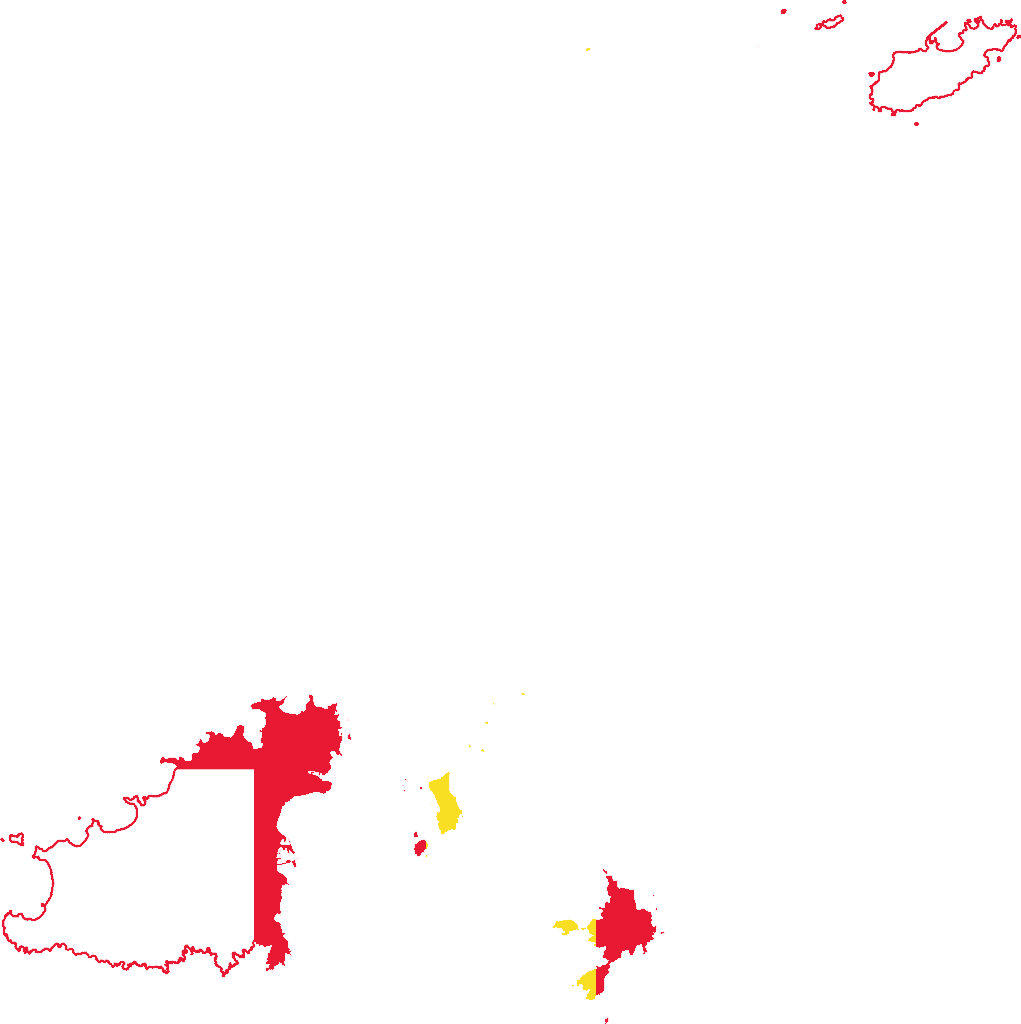
Guernsey
-
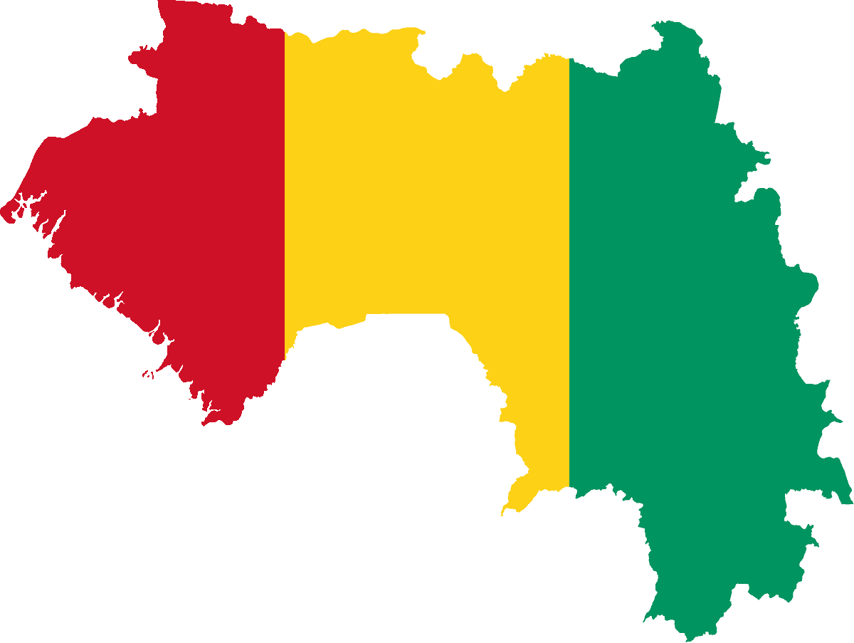
Guinea
-
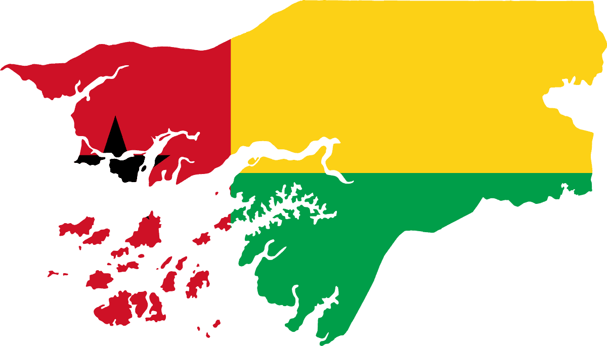
Guinea-Bissau
-
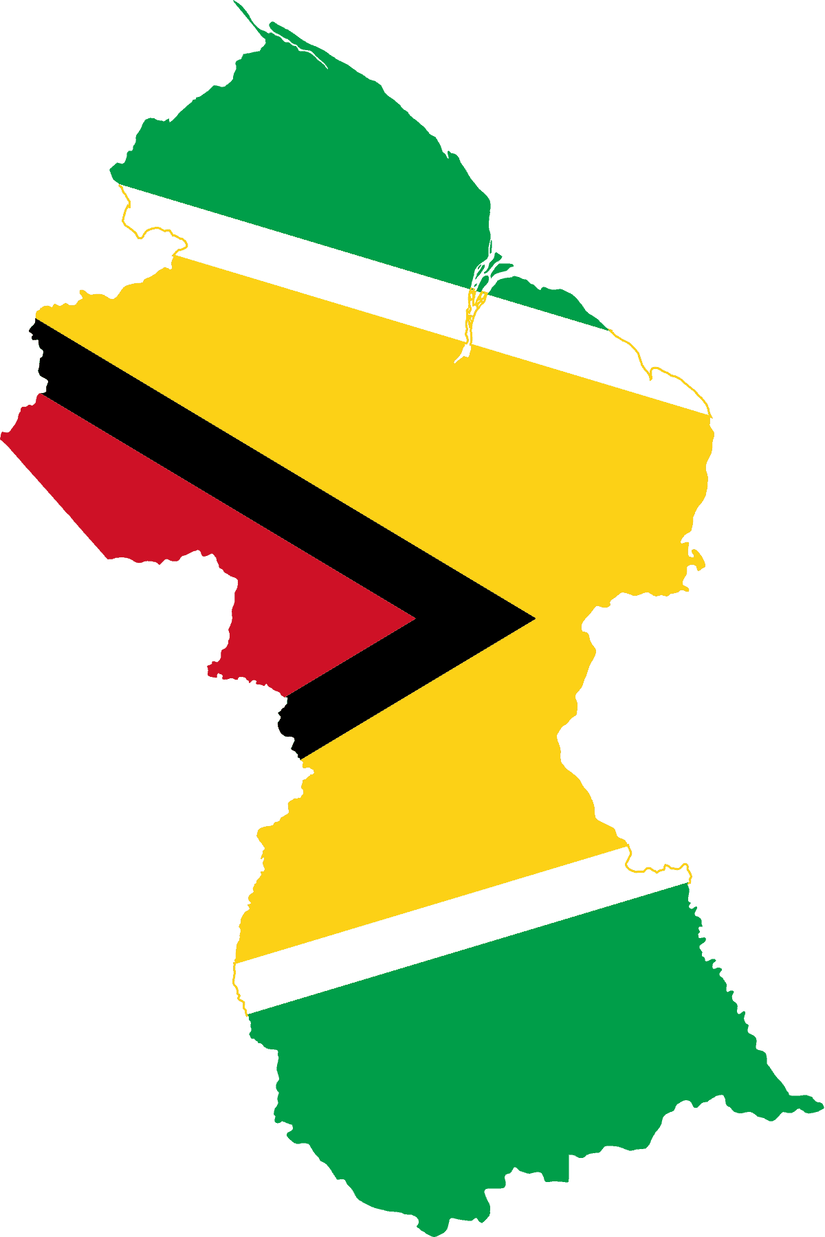
Guyana
-
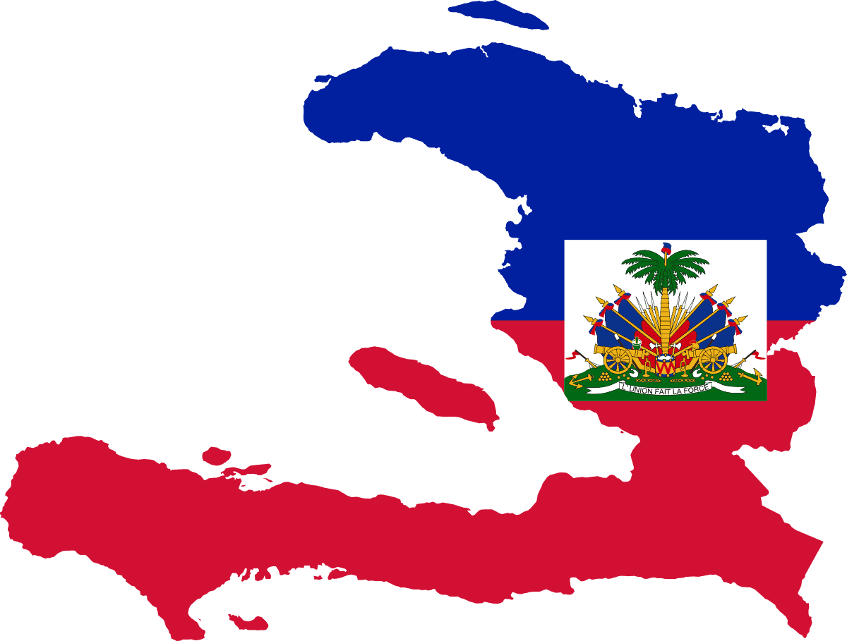
Haiti
-
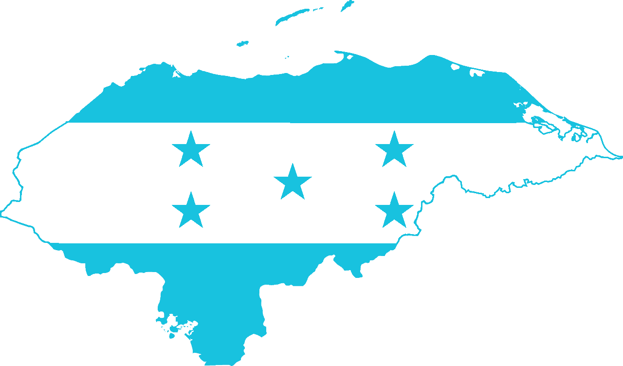
Honduras
-
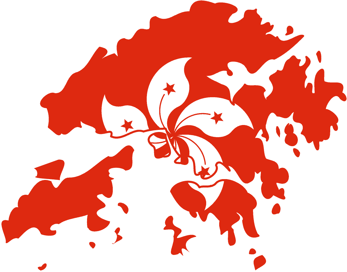
Hong Kong
-
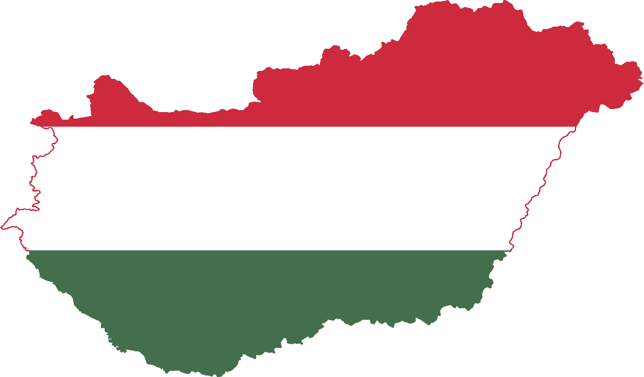
Hungary
-
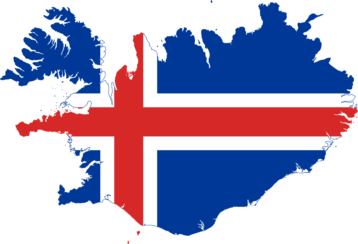
Iceland
-
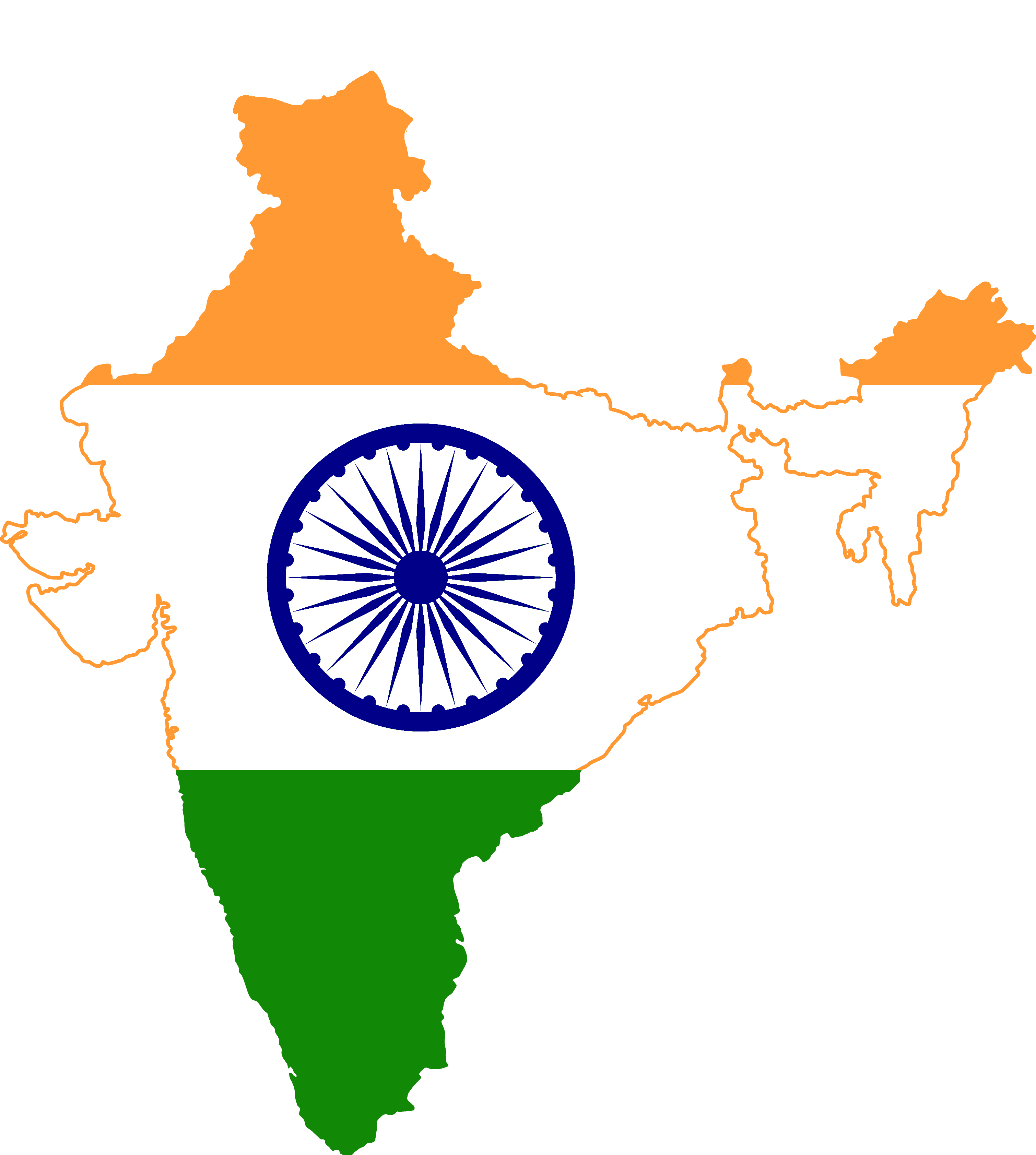
India
-
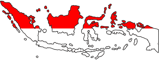
Indonesia
-
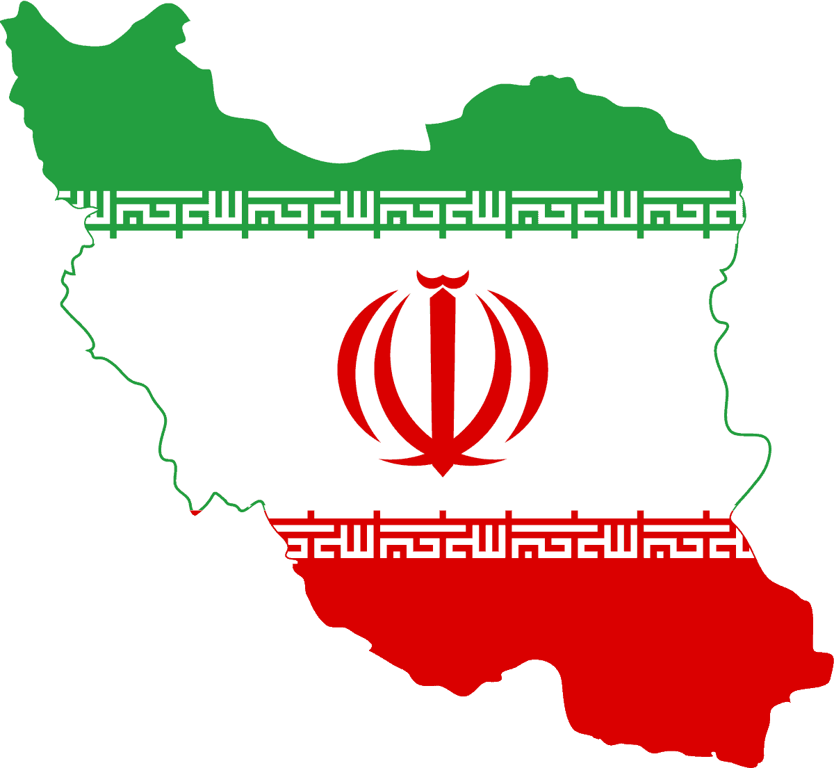
Iran
-
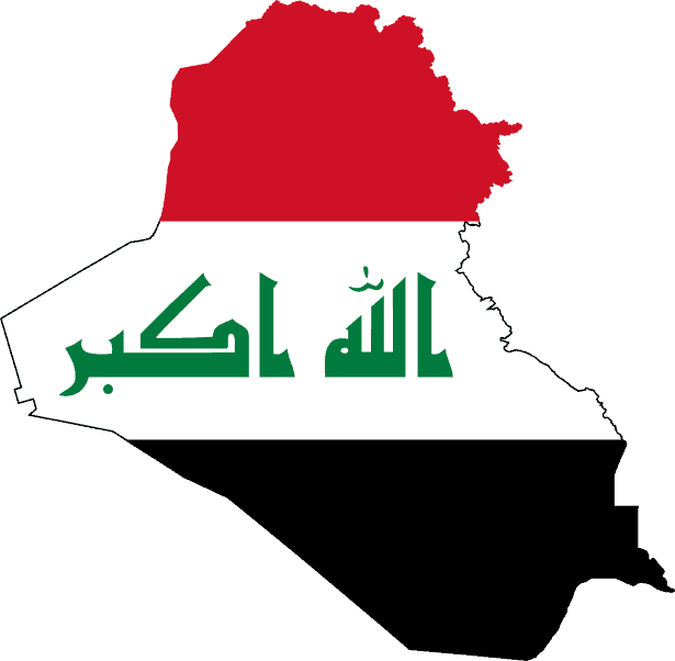
Iraq
-
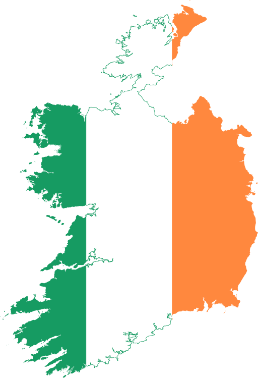
Ireland
-
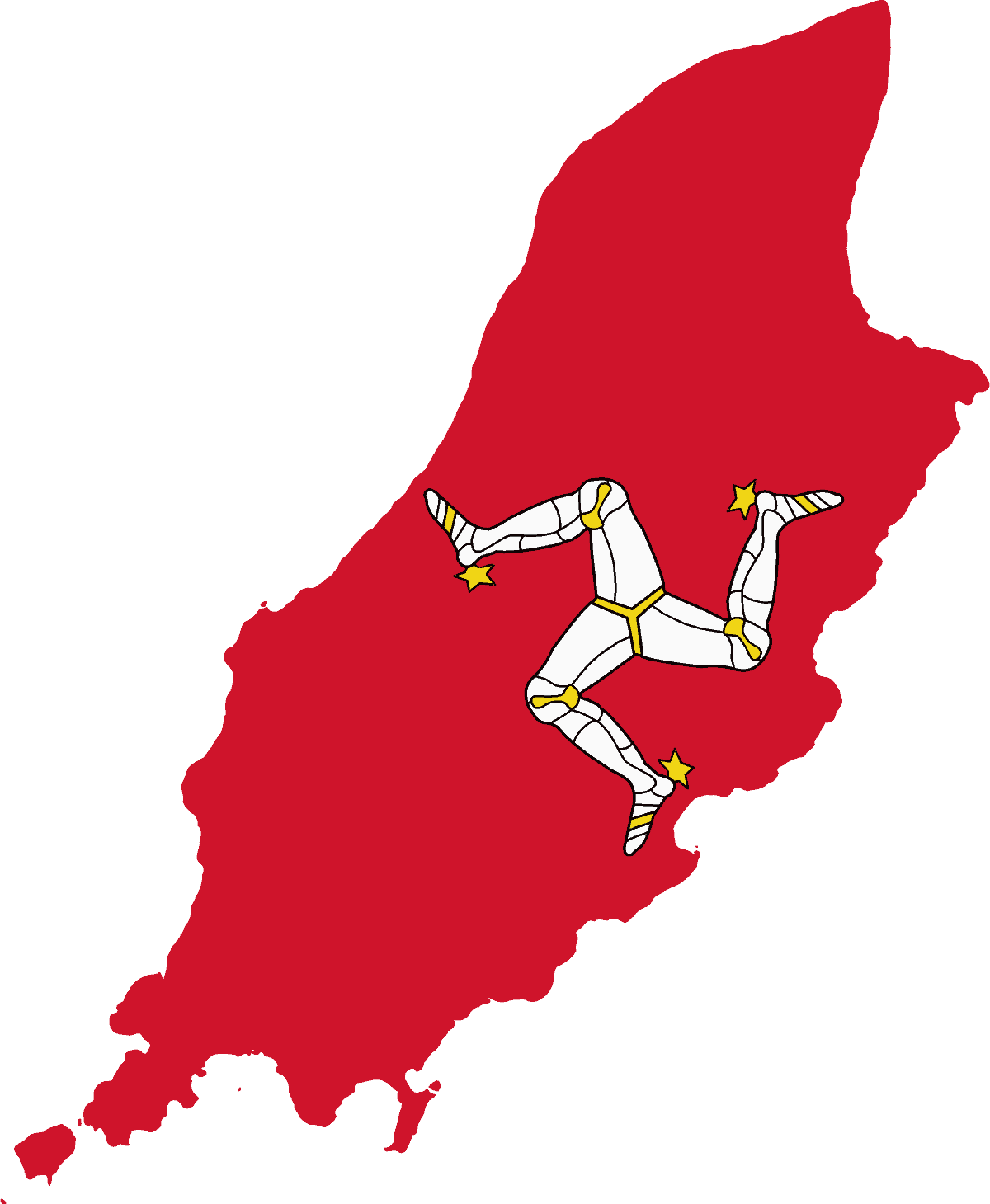
Isle of Man
-
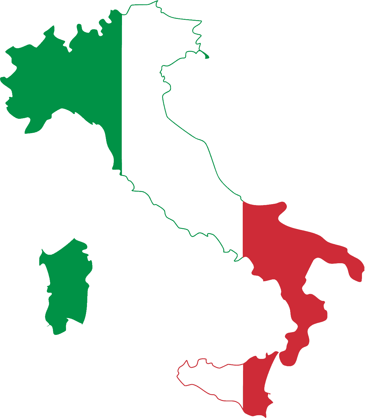
Italy
-
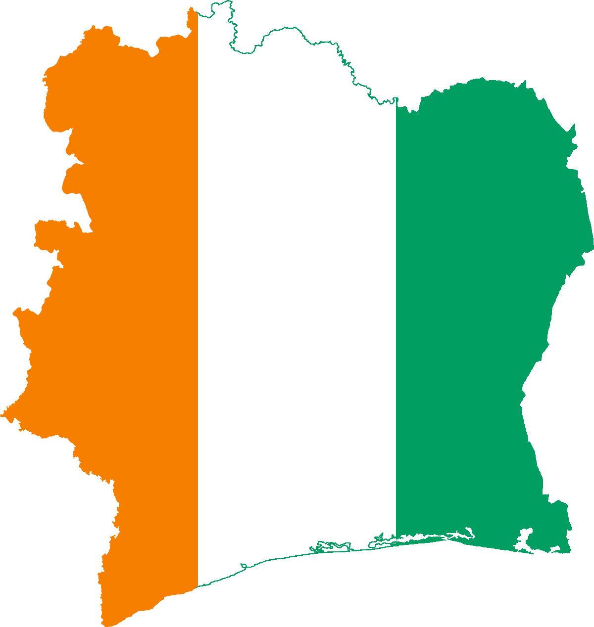
Côte d’Ivoire
-
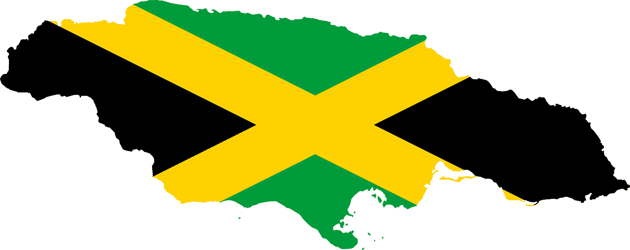
Jamaica
-
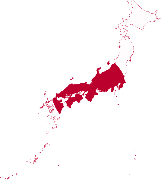
Japan
-
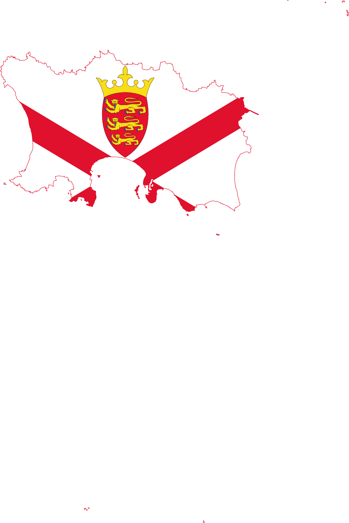
Jersey
-
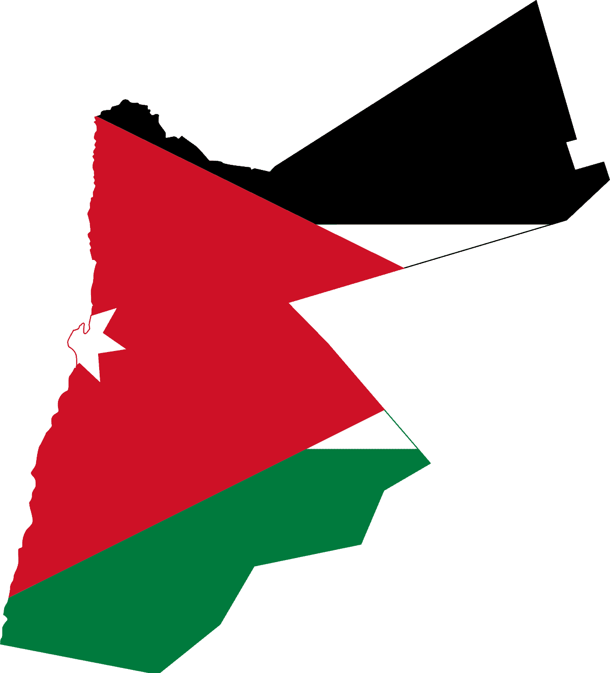
Jordan
-
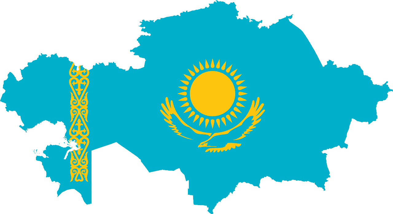
Kazakhstan
-
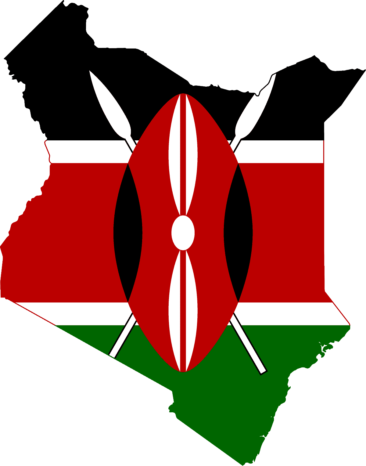
Kenya
-
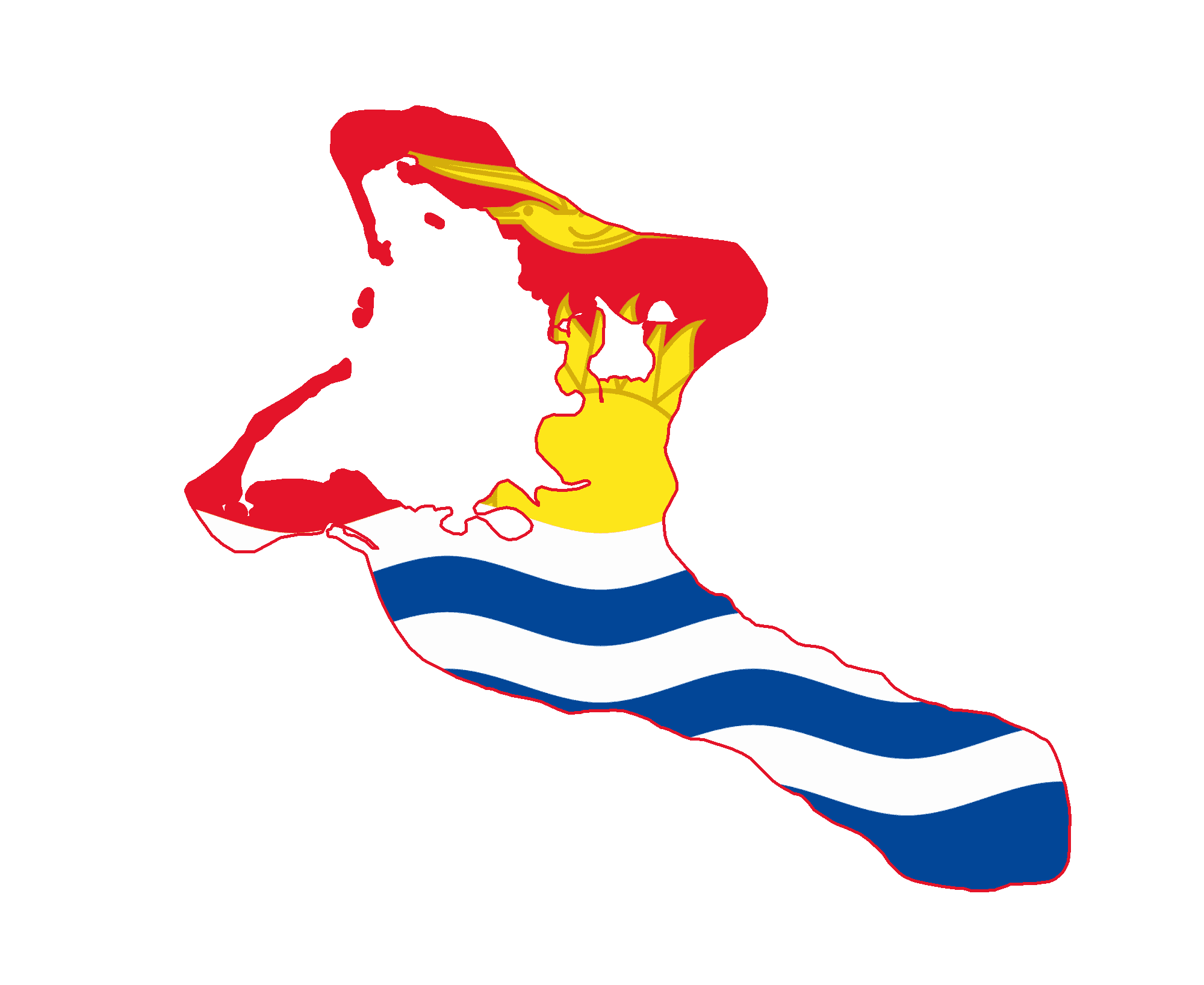
Kiribati
-
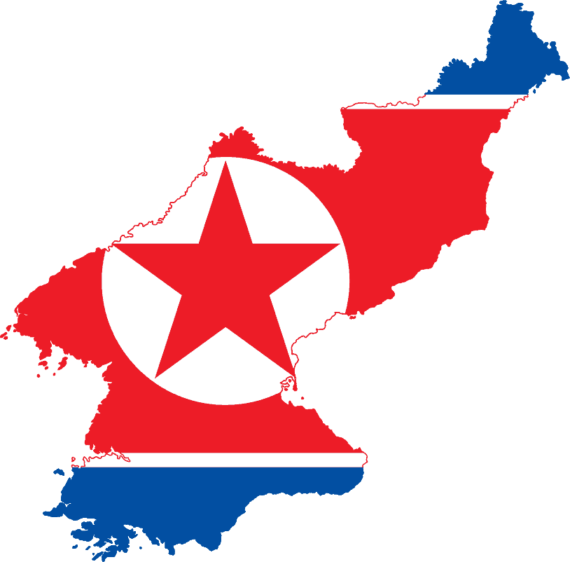
North Korea
-
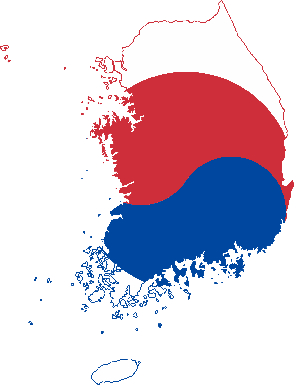
South Korea
-
Kosovo
-
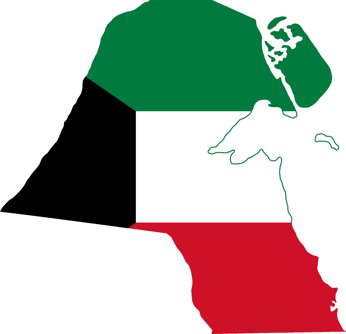
Kuwait
-
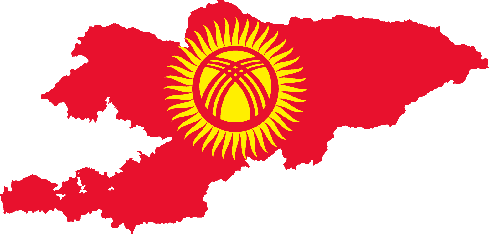
Kyrgyzstan
-
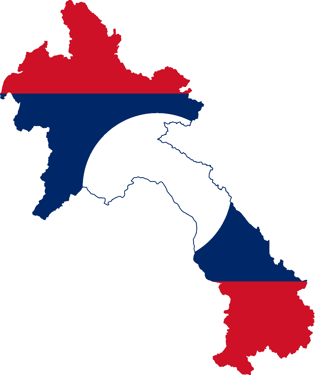
Laos
-
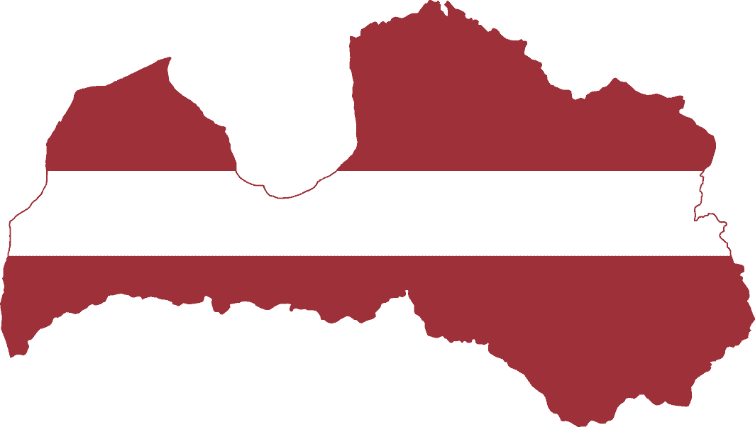
Latvia
-
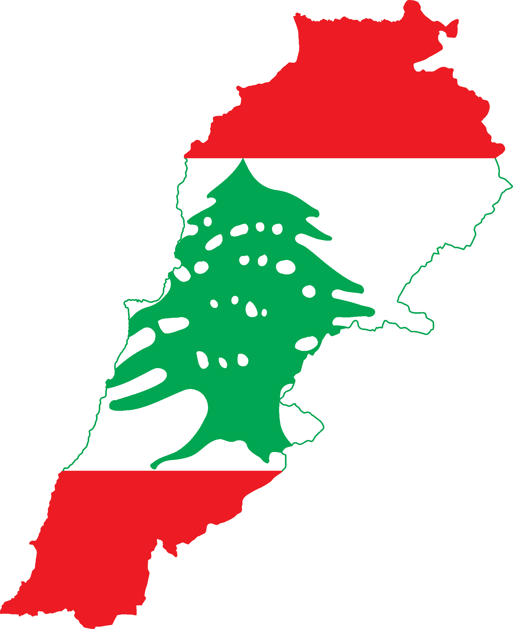
Lebanon
-
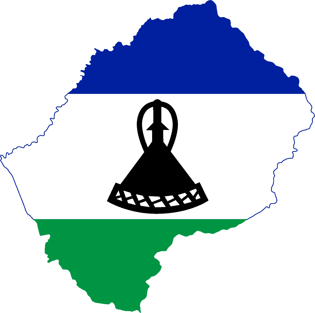
Lesotho
-
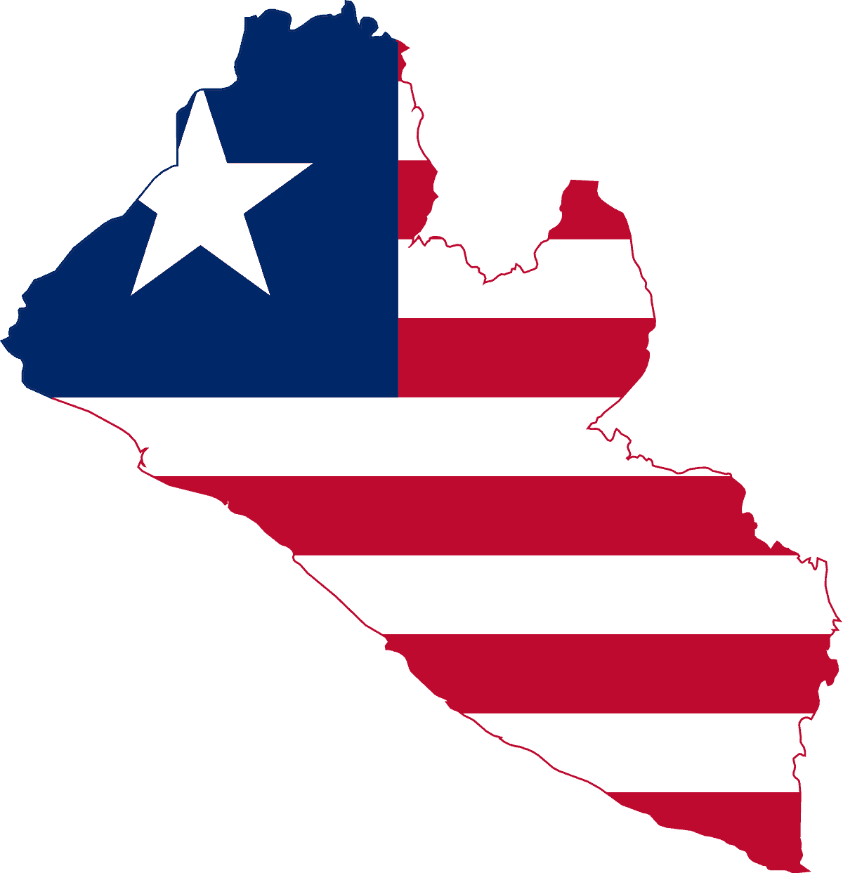
Liberia
-
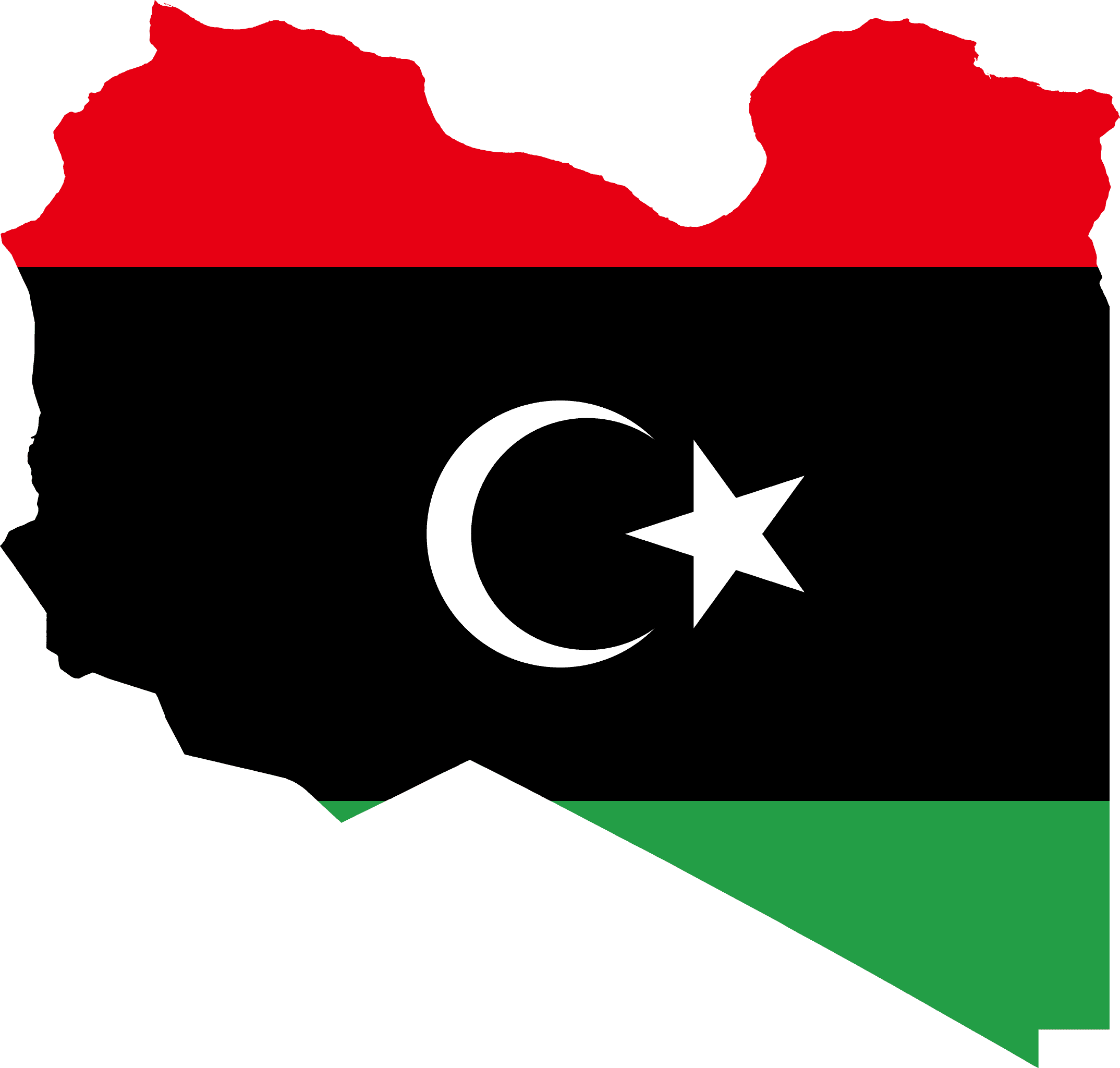
Libya
-
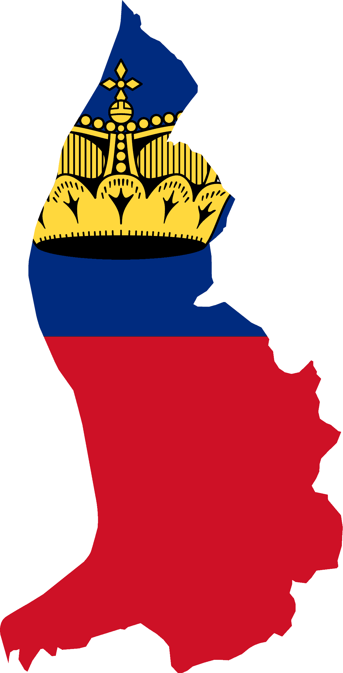
Liechtenstein
-
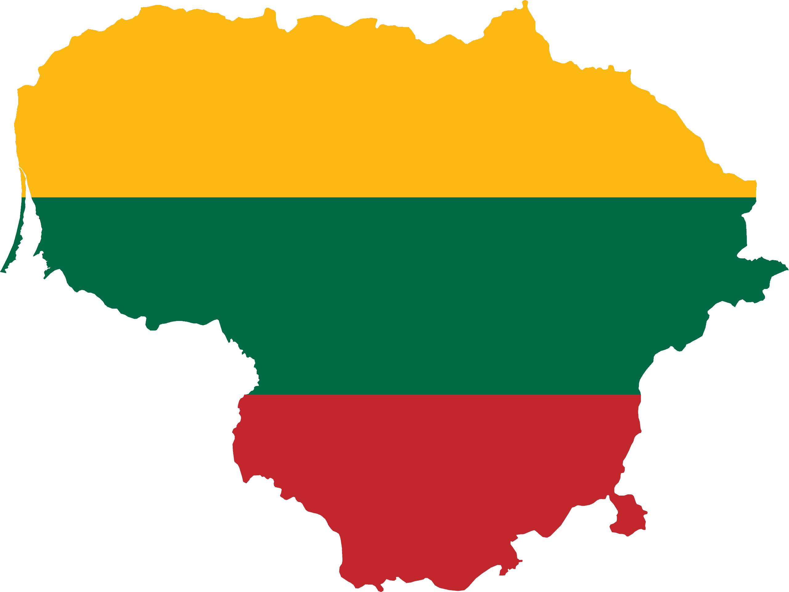
Lithuania
-
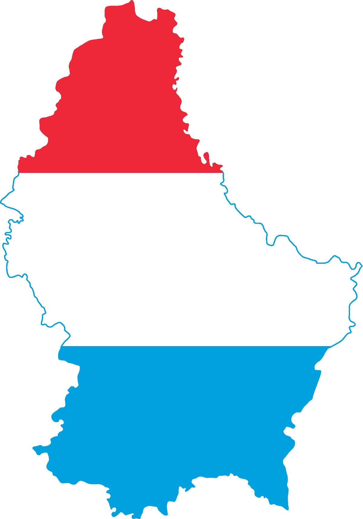
Luxembourg
-
Macau
-
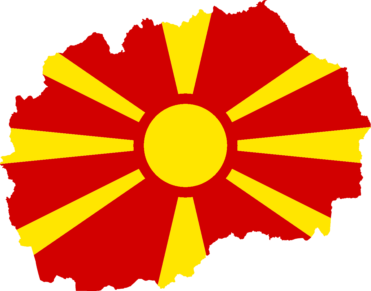
North Macedonia
-
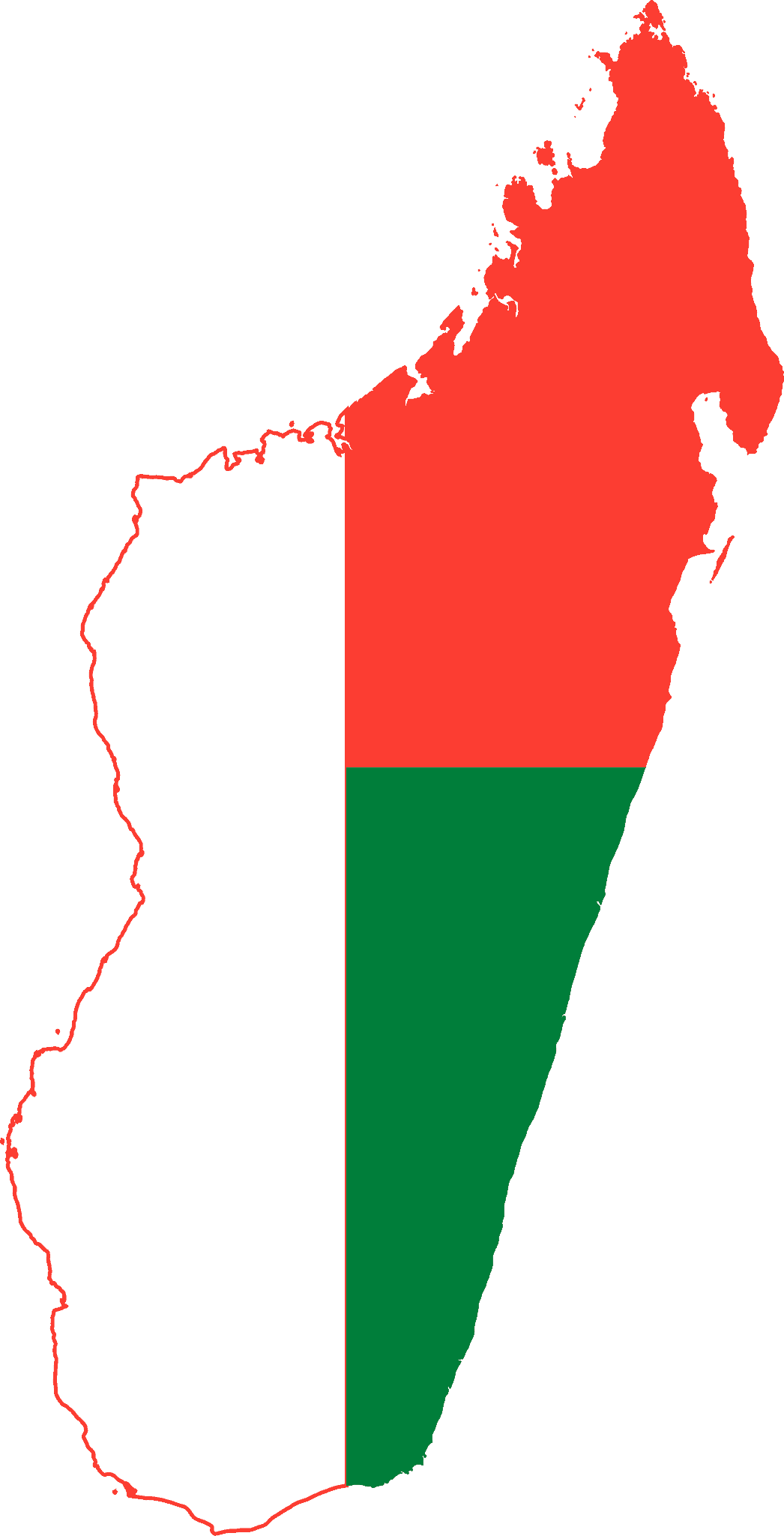
Madagascar
-
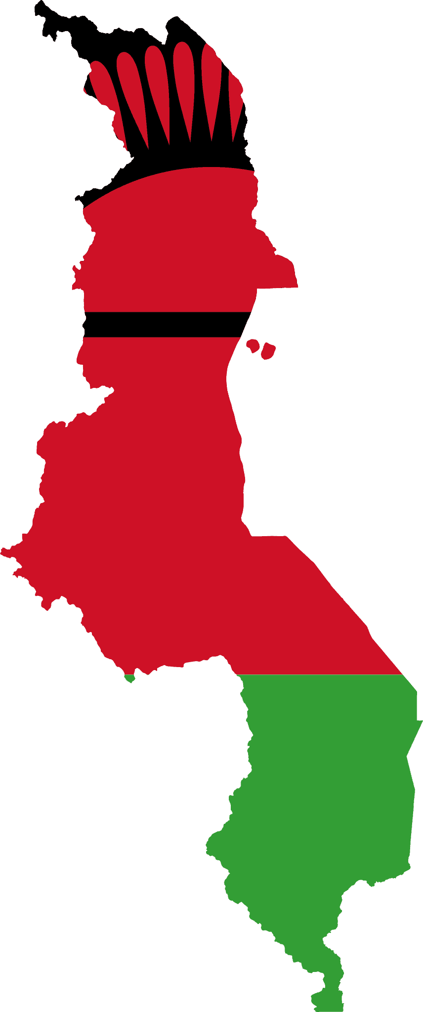
Malawi
-
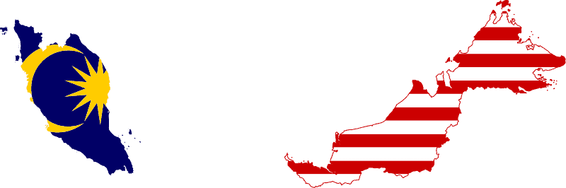
Malaysia
-
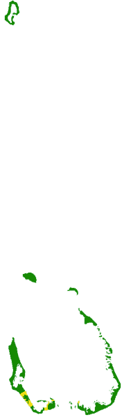
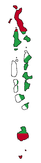
Maldives
-
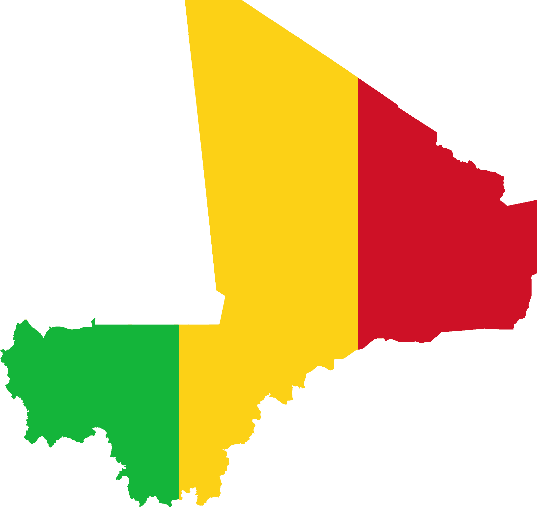
Mali
-
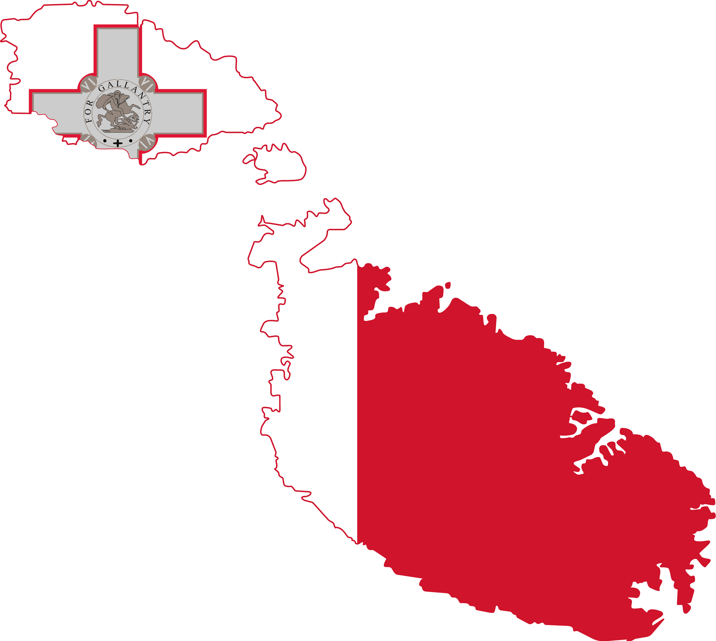
Malta
-
Marshall Islands
-
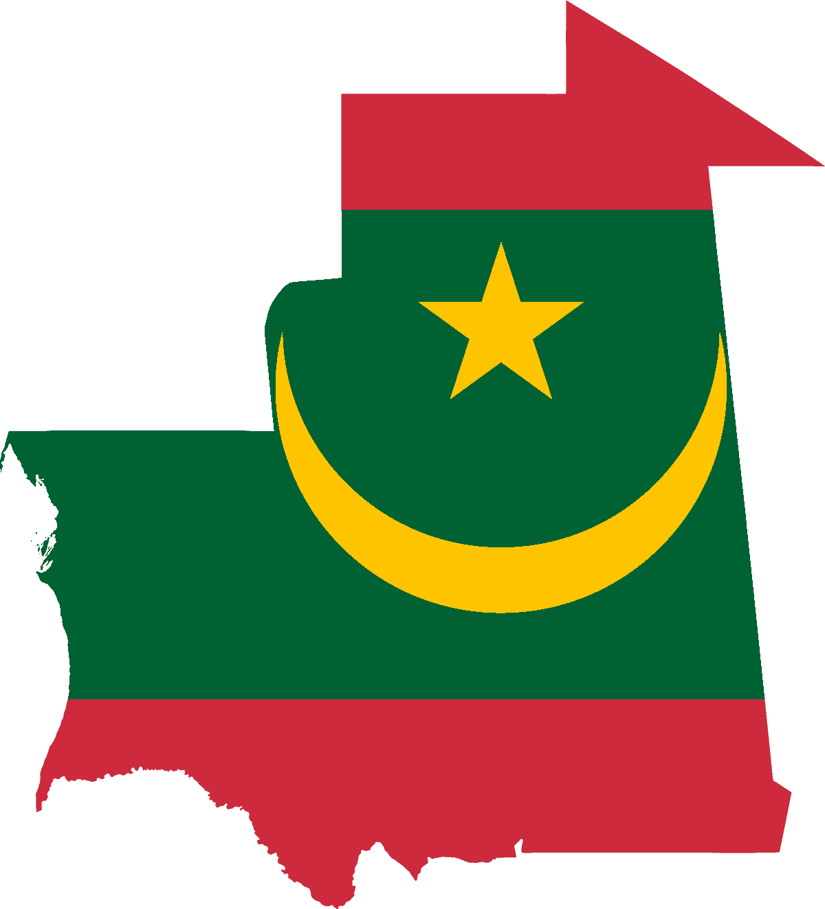
Mauritania
-
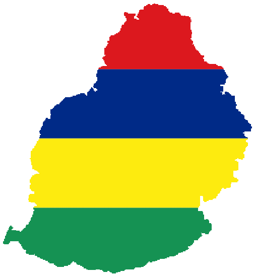
Mauritius
-
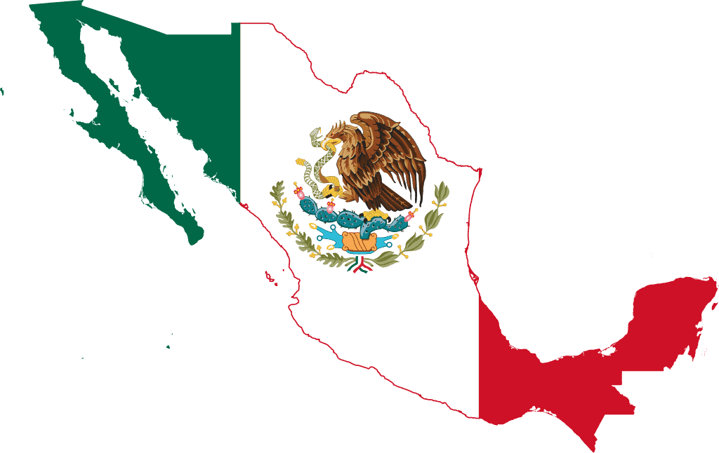
Mexico
-
Micronesia
-
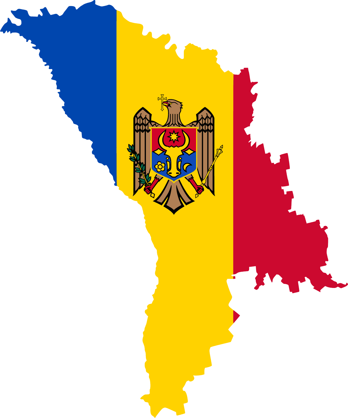
Moldova
-
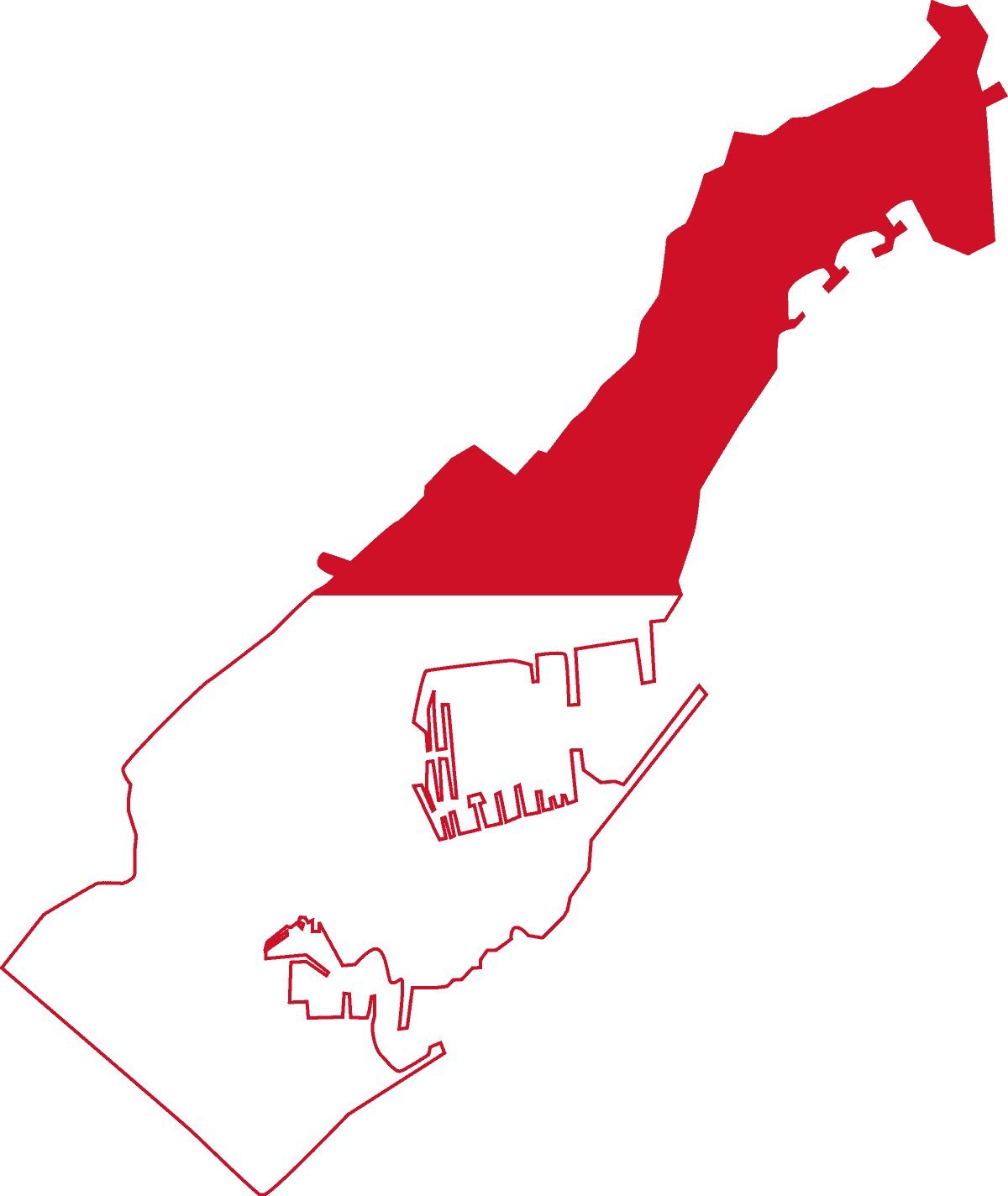
Monaco
-
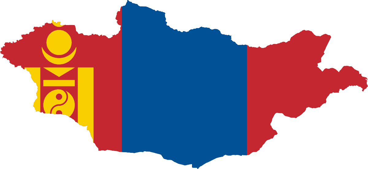
Mongolia
-
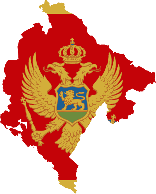
Montenegro
-
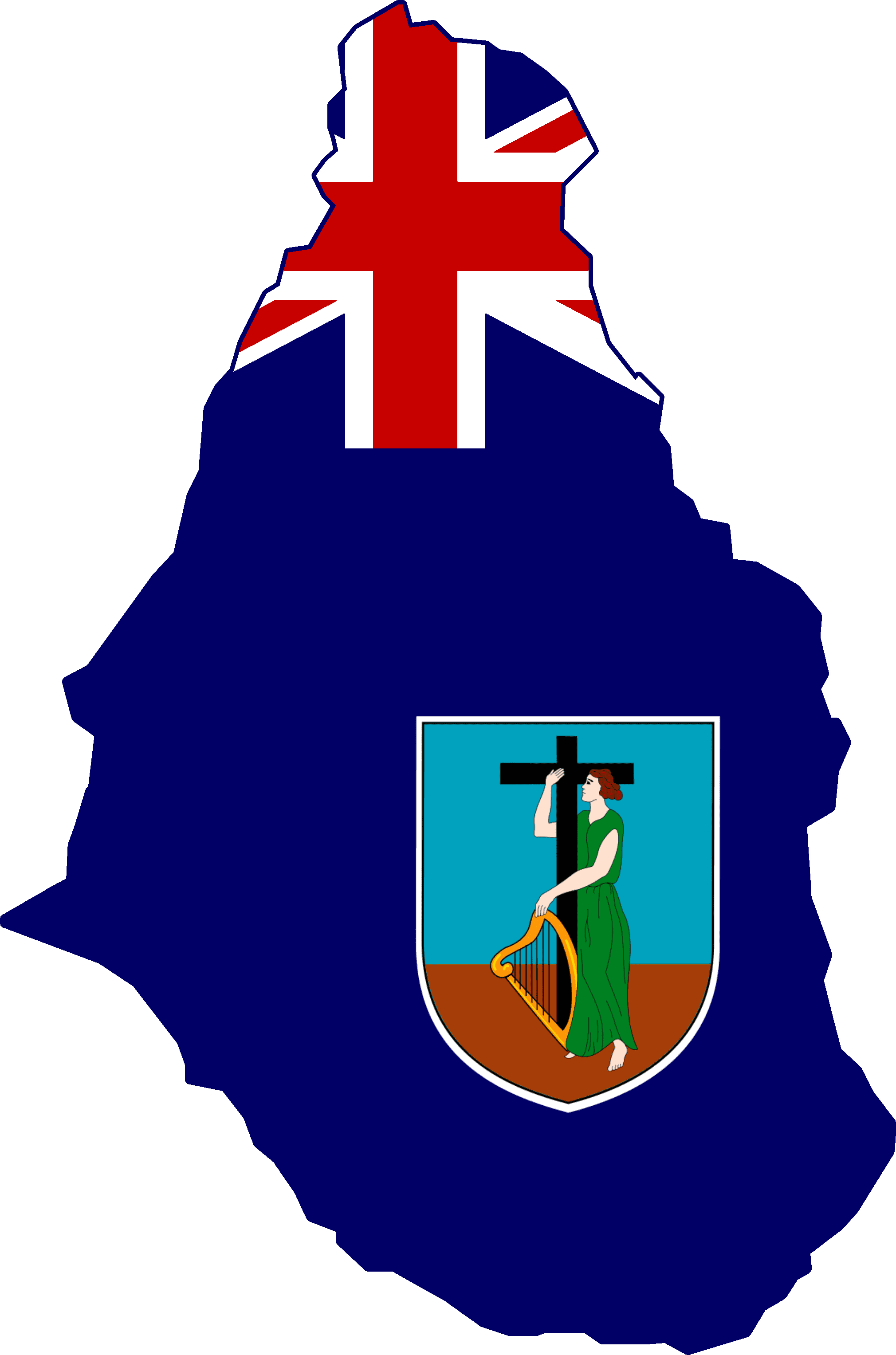
Montserrat
-
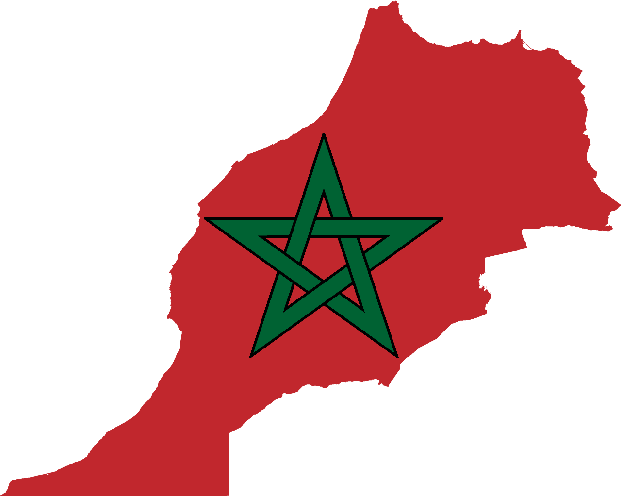
Morocco
-
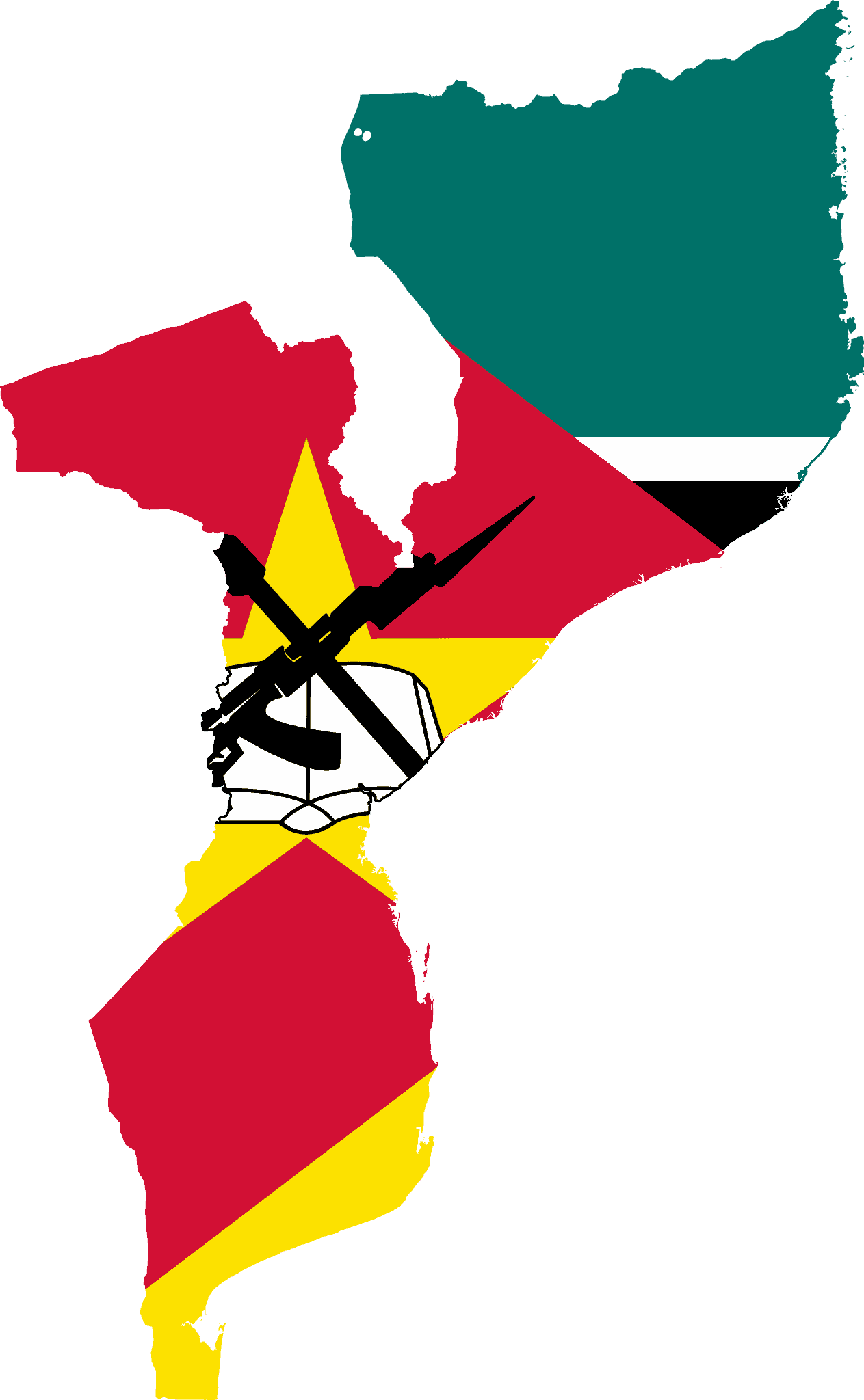
Mozambique
-
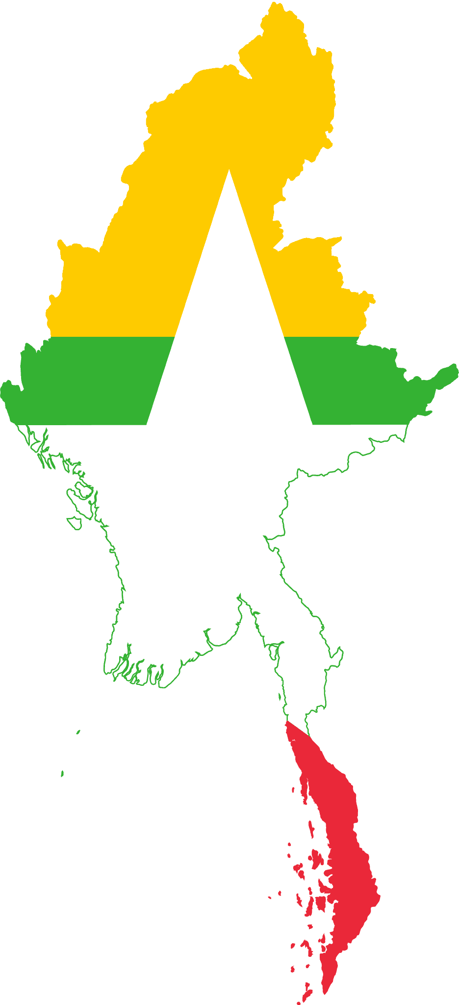
Myanmar (Burma)
-
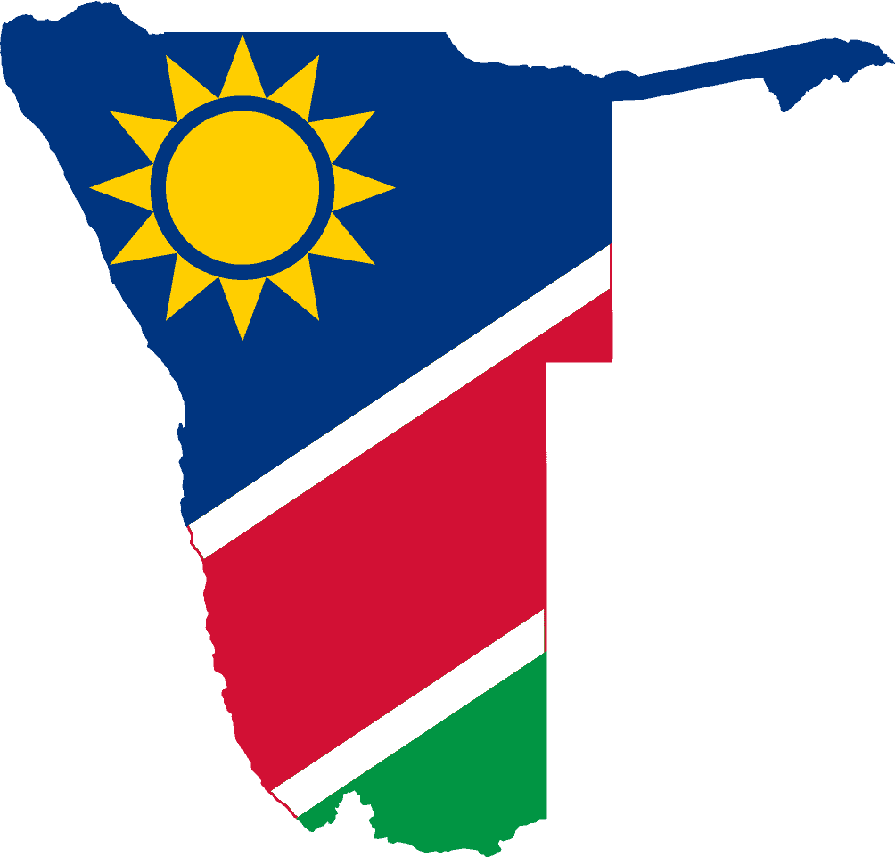
Namibia
-
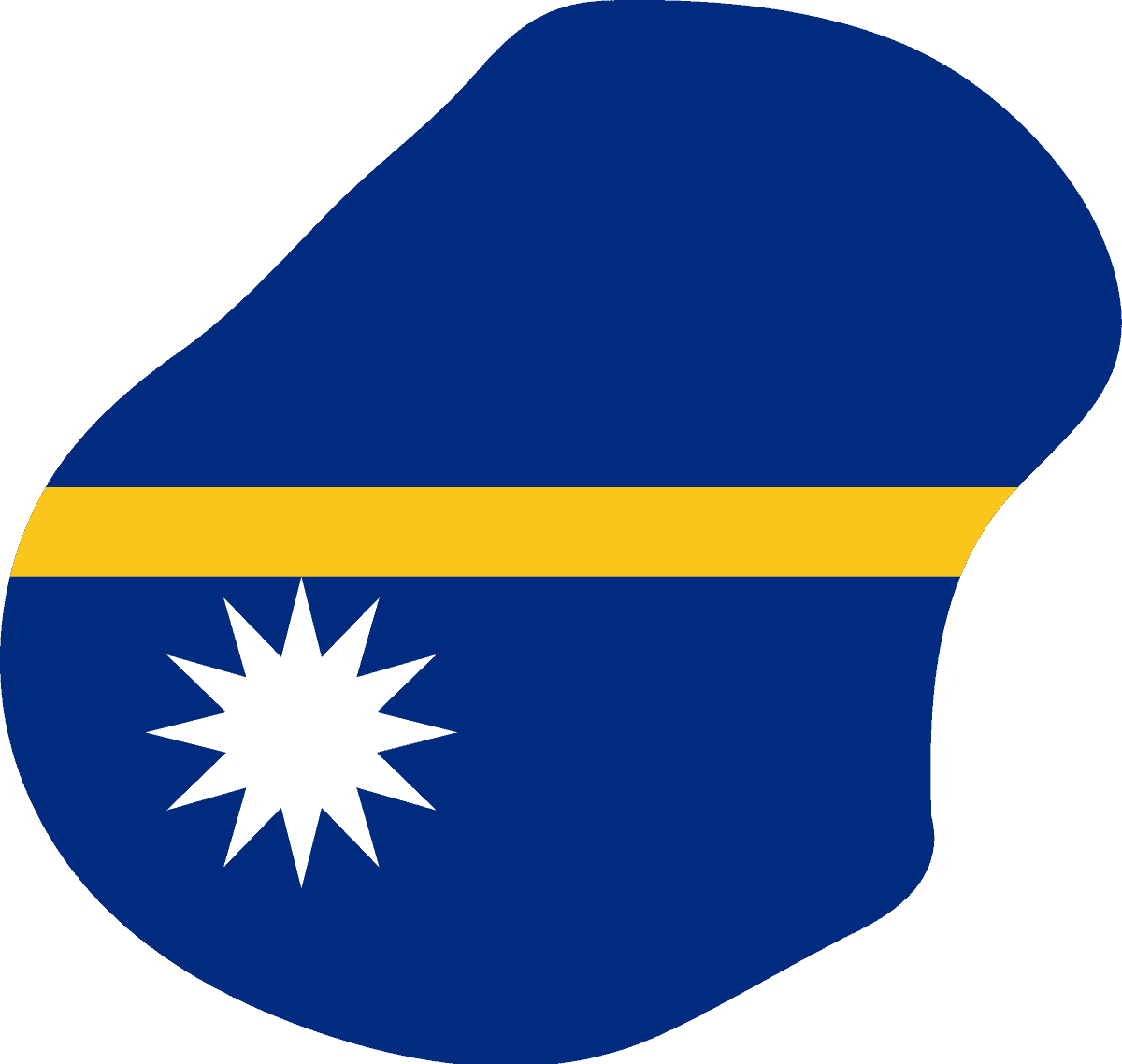
Nauru
-
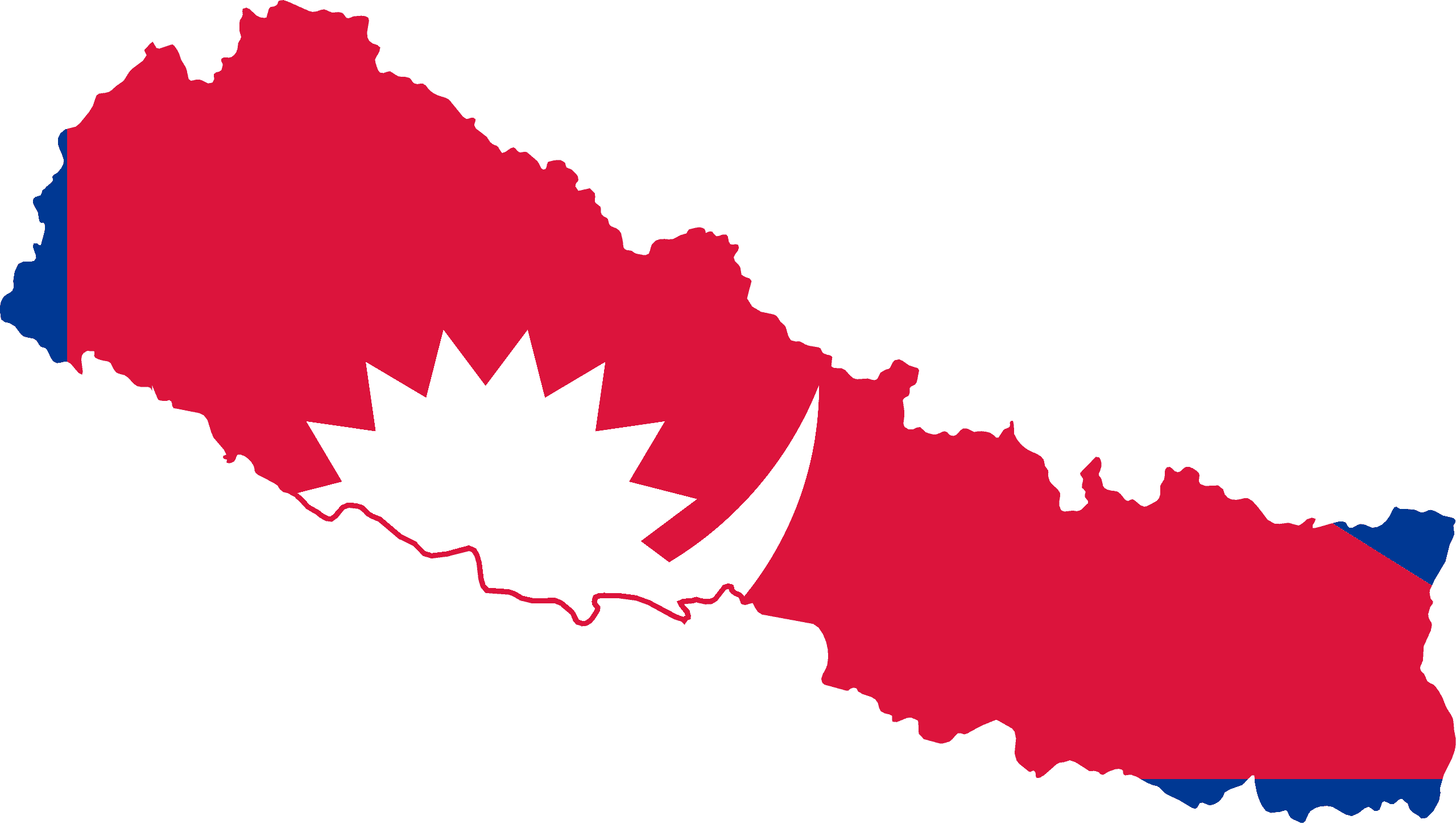
Nepal
-
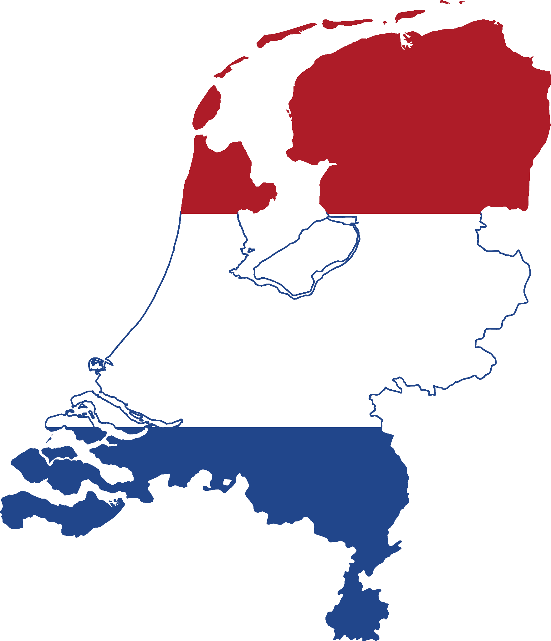
Netherlands
-
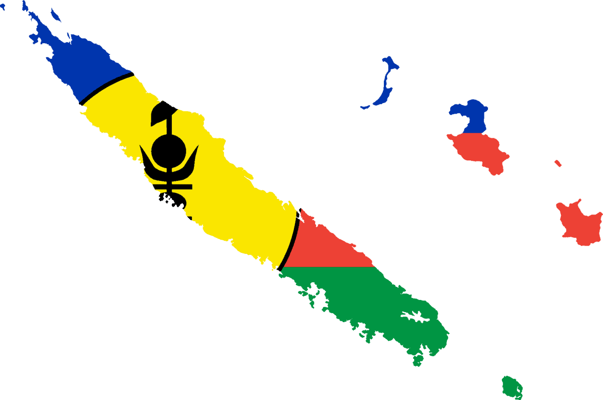
New Caledonia
-
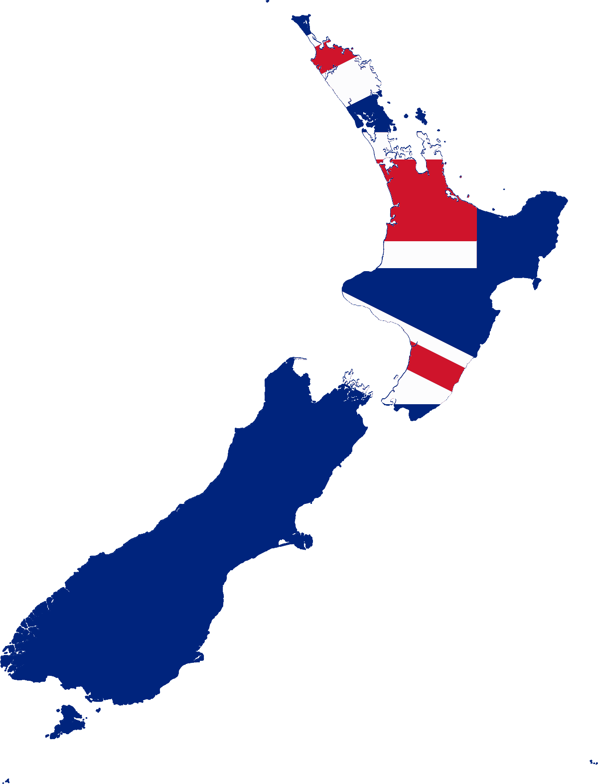
New Zealand
-
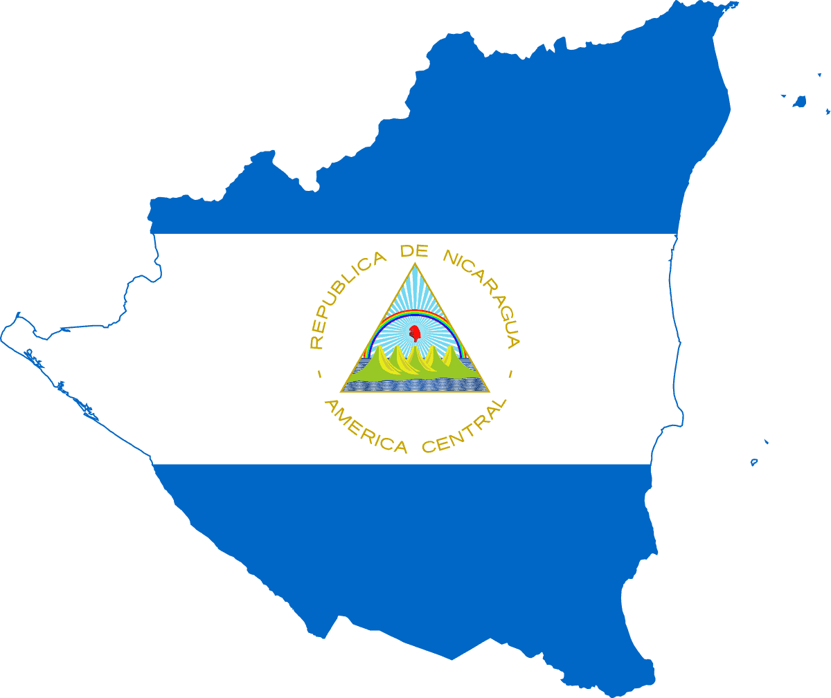
Nicaragua
-
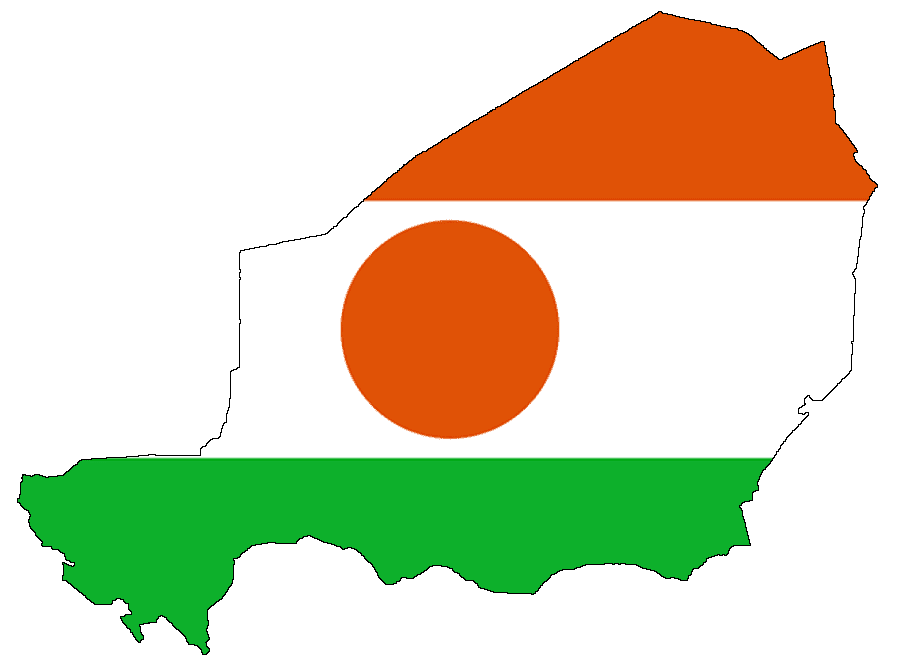
Niger
-
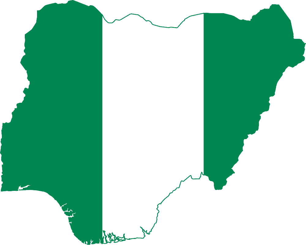
Nigeria
-
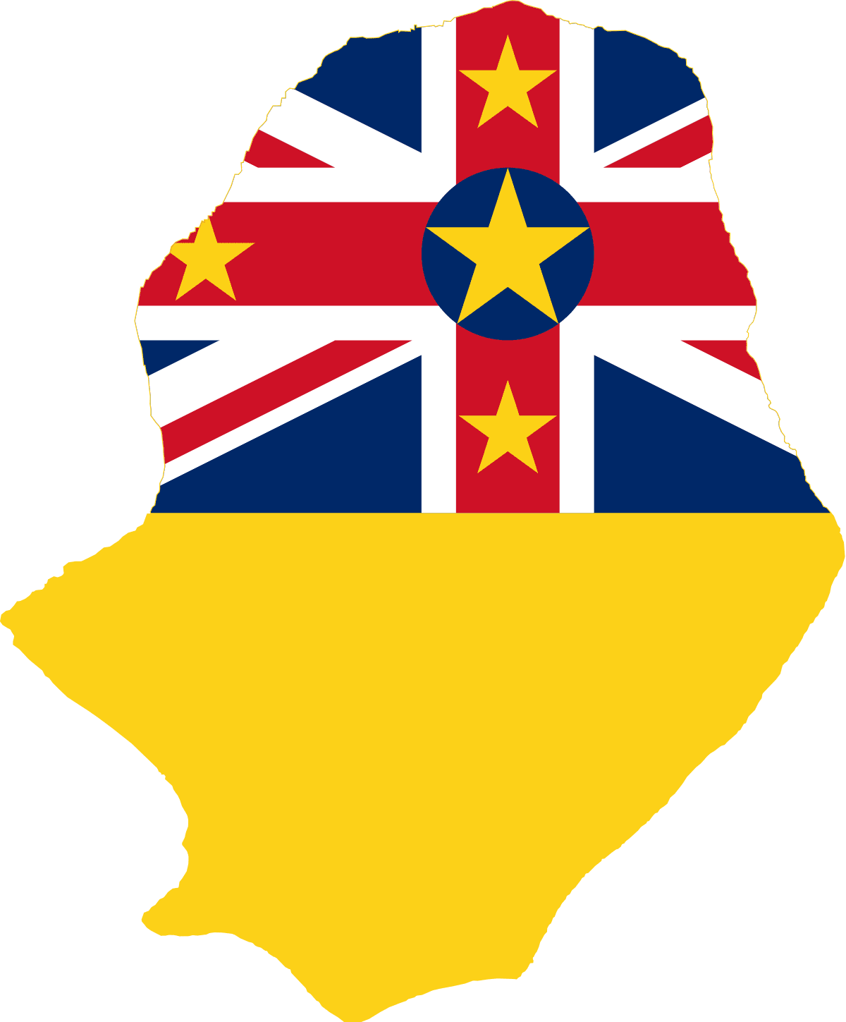
Niue
-
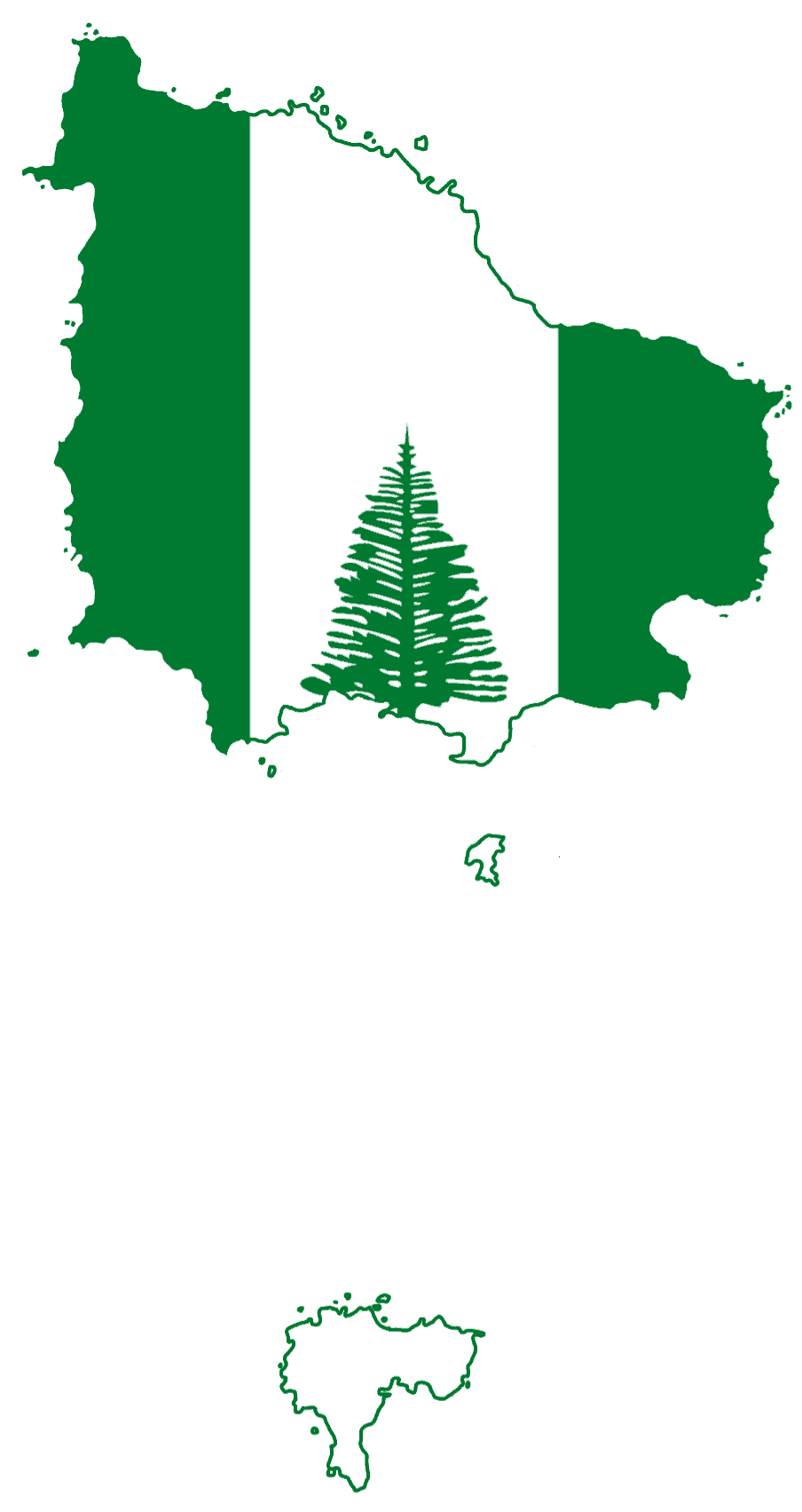
Norfolk Island
-
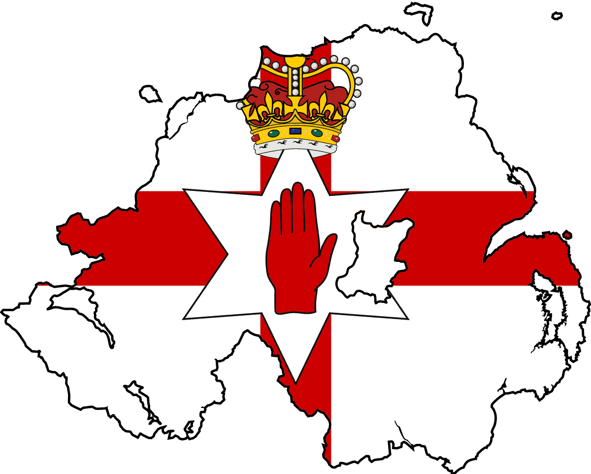
Northern Ireland
-
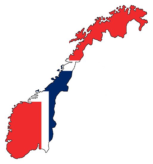
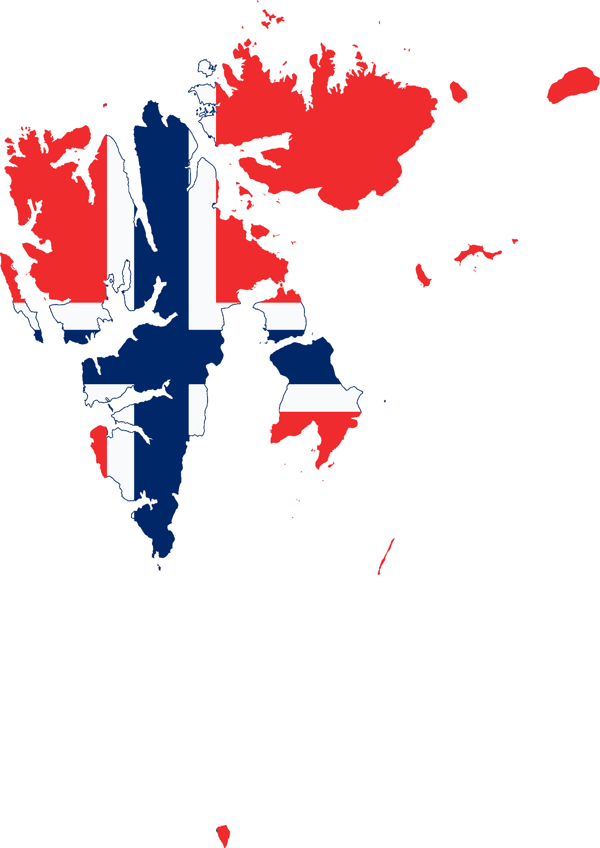
Norway
-
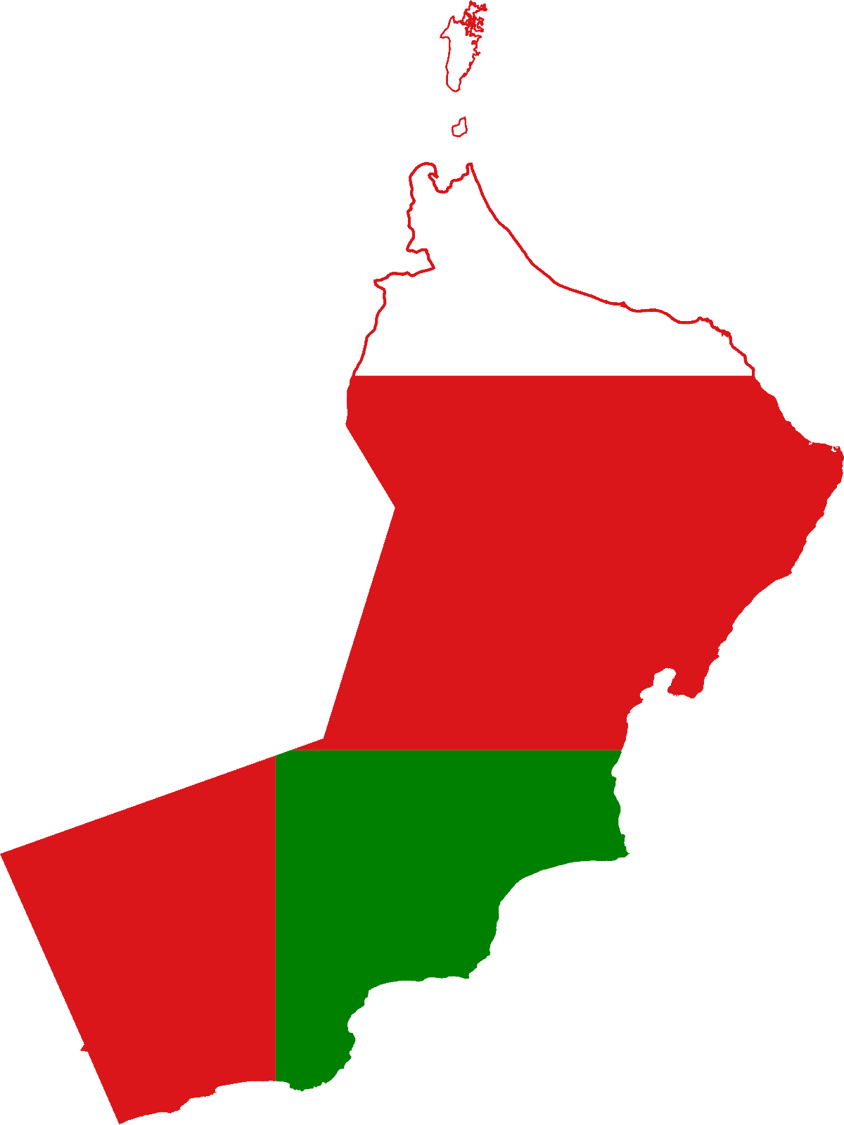
Oman
-
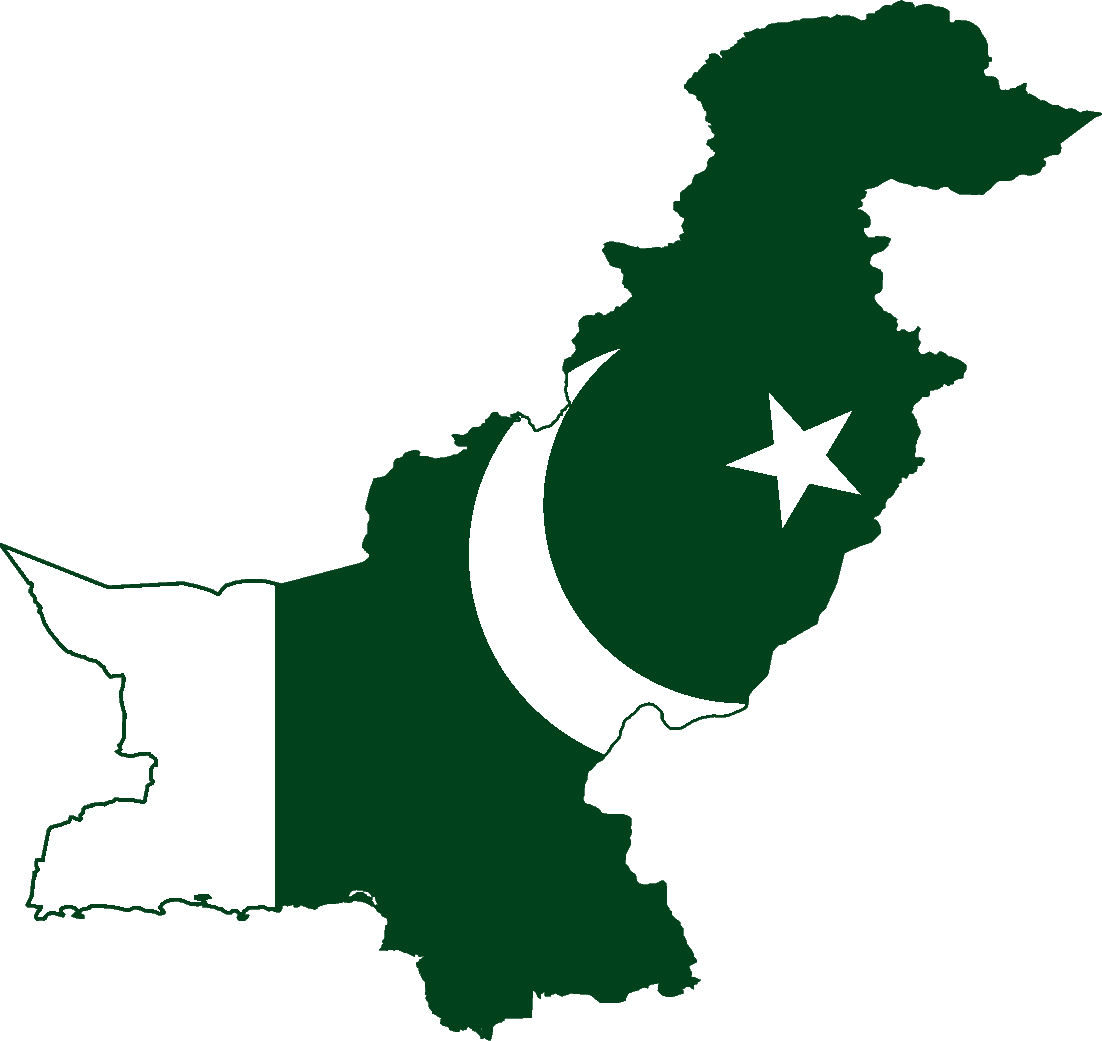
Pakistan
-
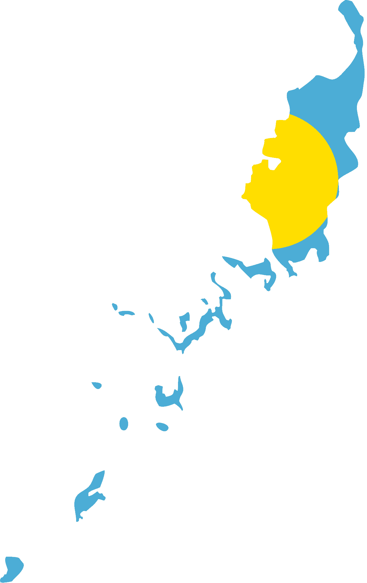
Palau
-
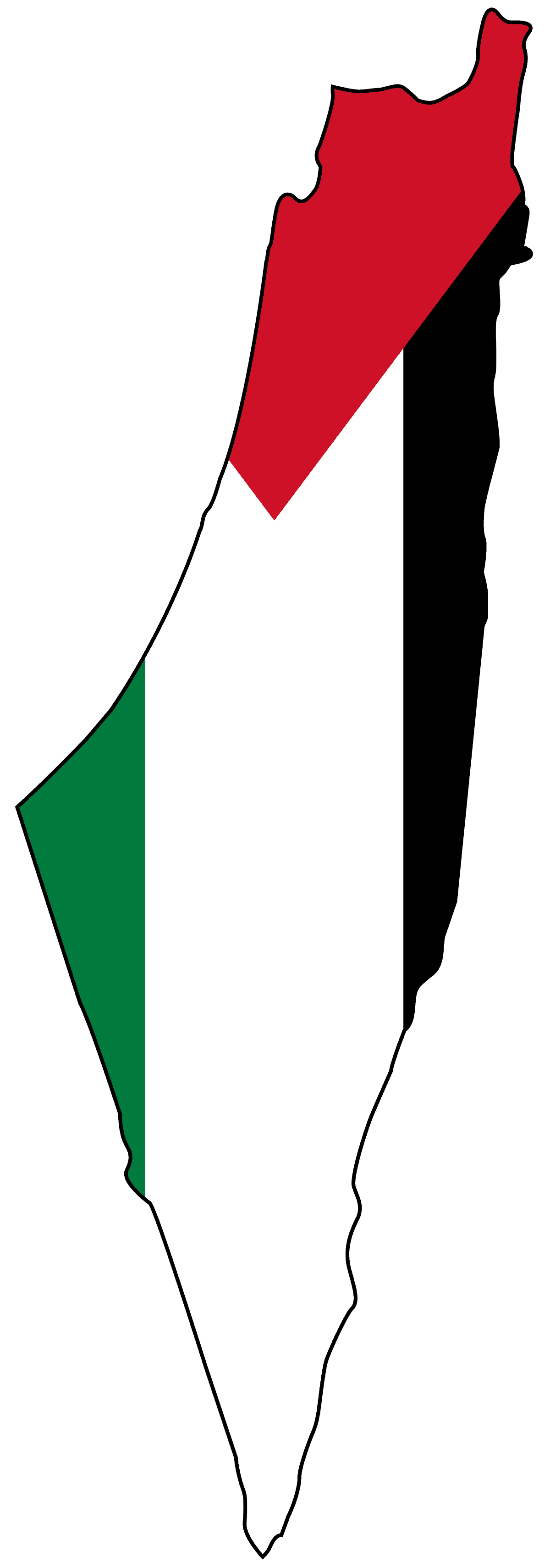
Palestine
-
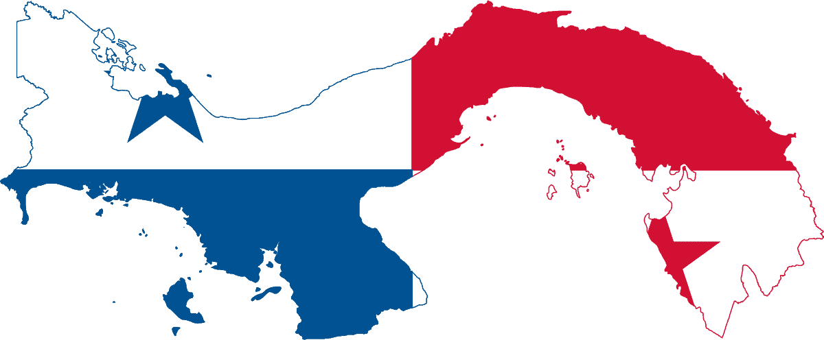
Panama
-
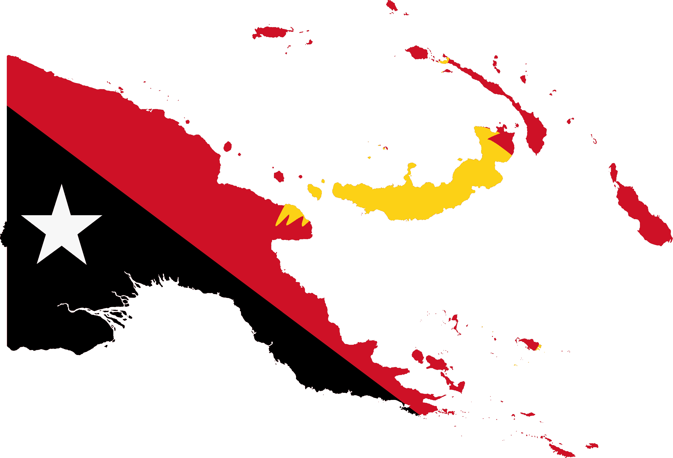
Papua New Guinea
-
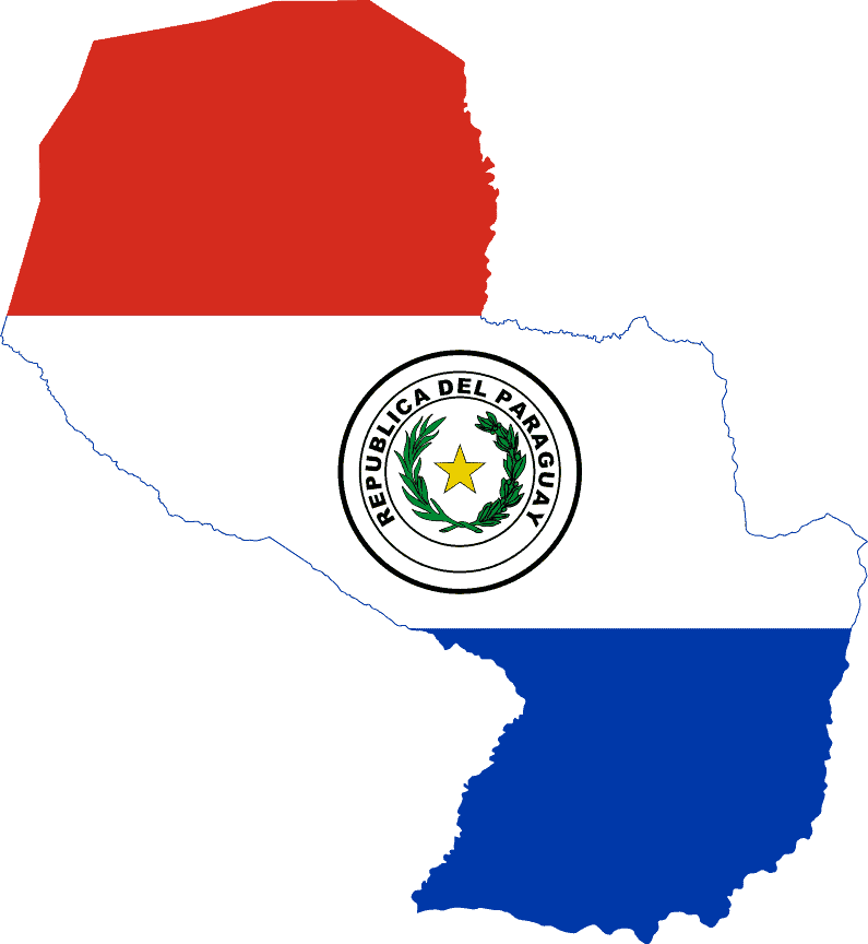
Paraguay
-
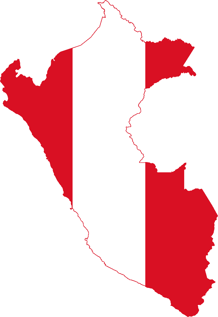
Peru
-
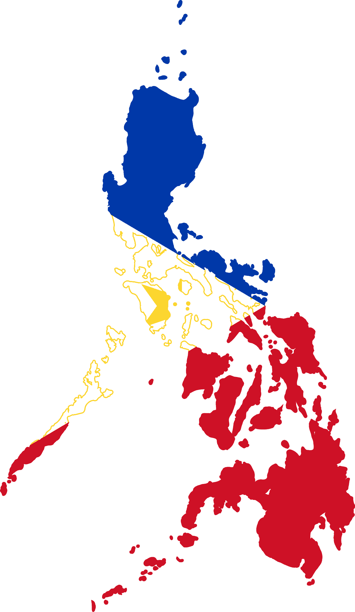
Philippines
-
Pitcairn Islands
-
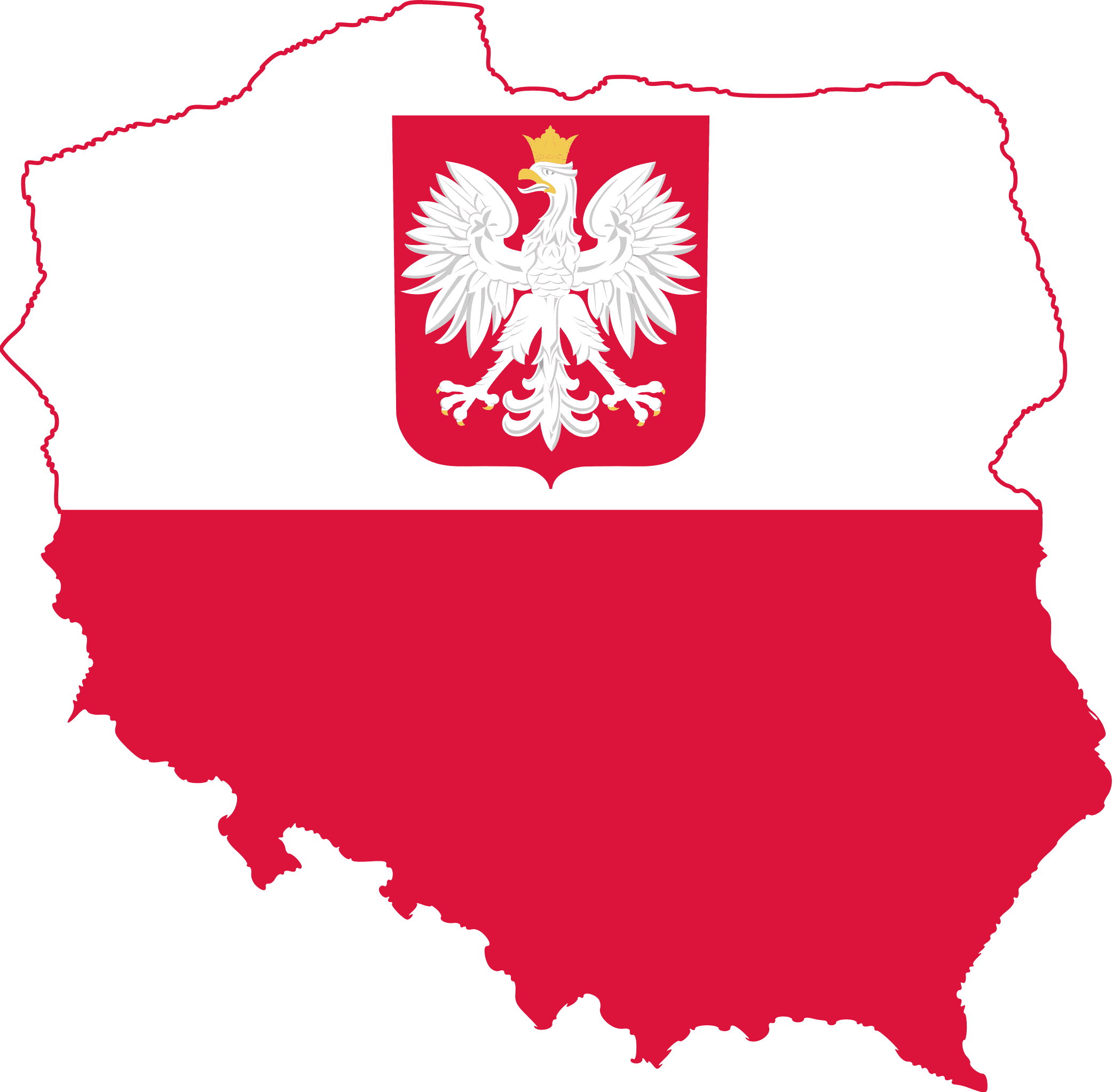
Poland
-
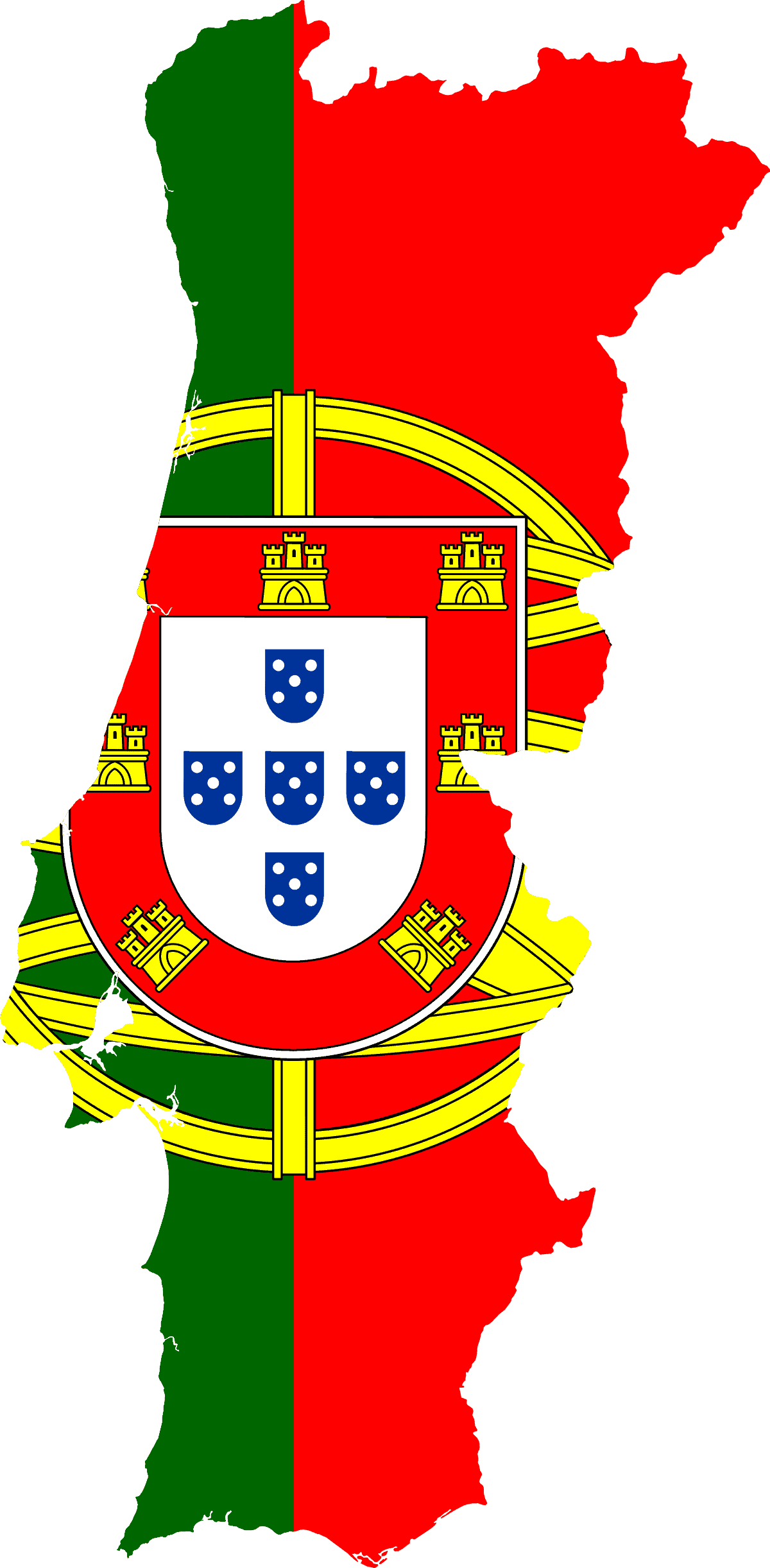
Portugal
-
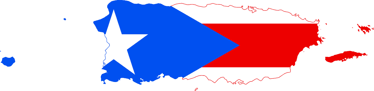
Puerto Rico
-
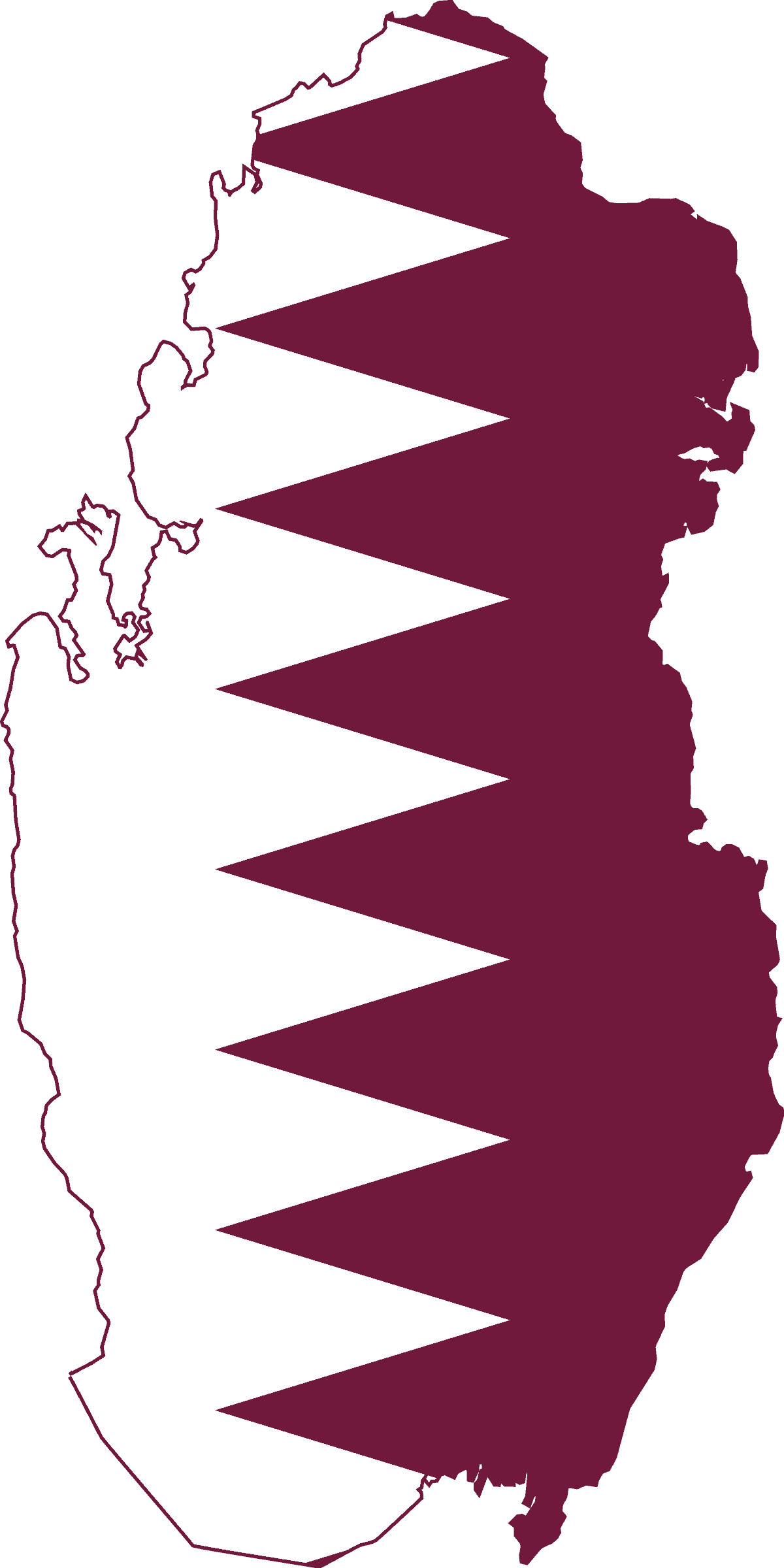
Qatar
-
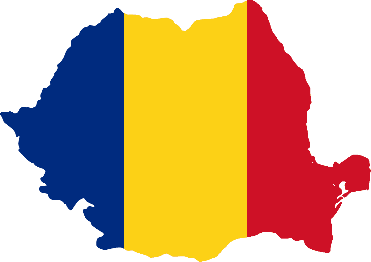
Romania
-
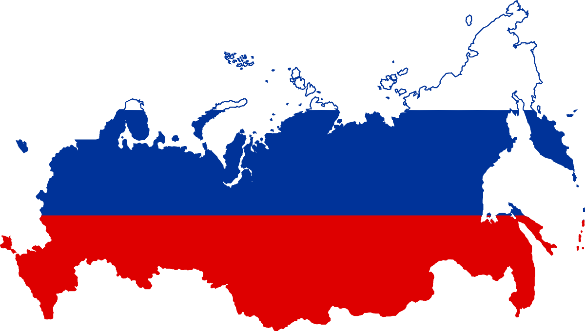
Russia
-
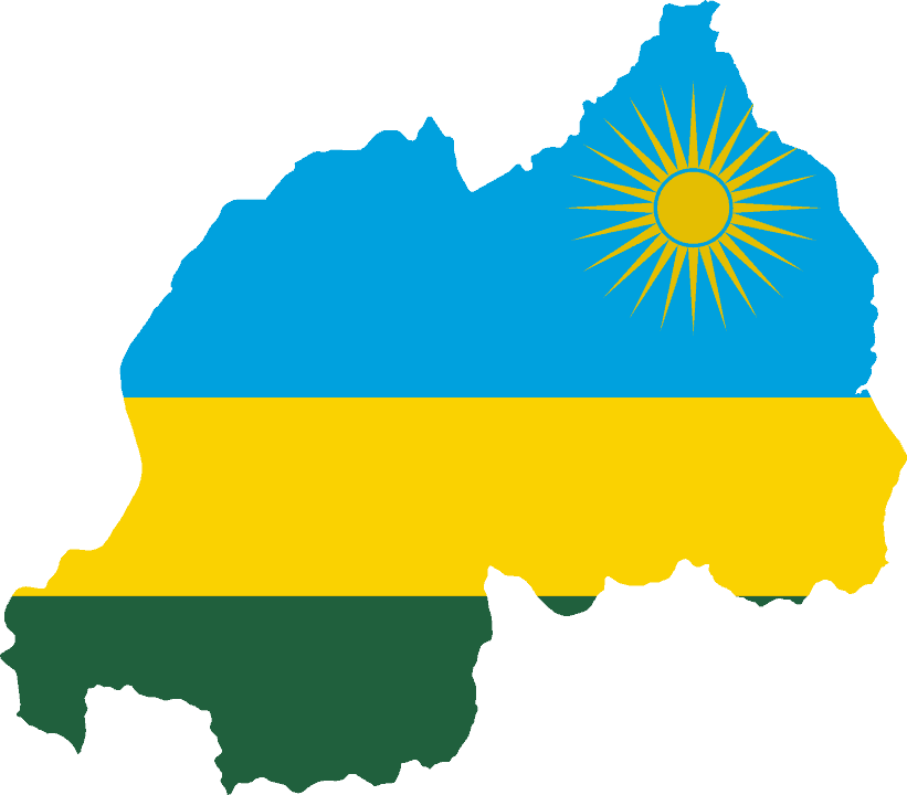
Rwanda
-
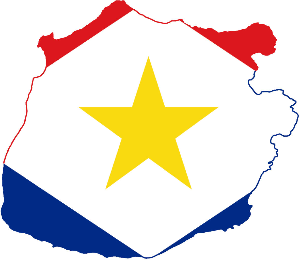
Saba
-
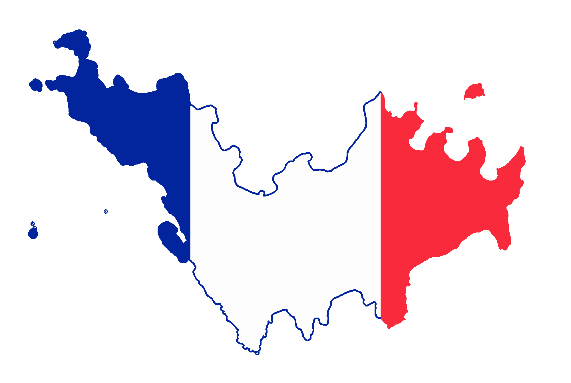
Saint Barthélemy
-
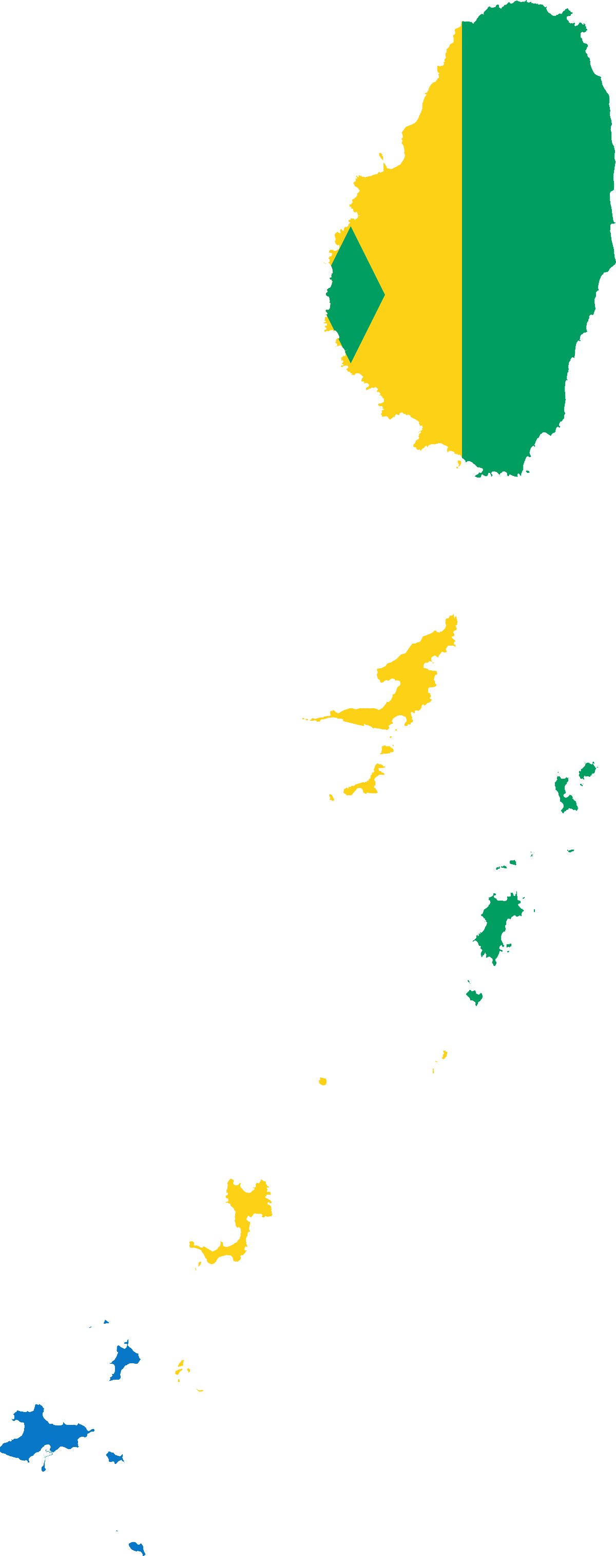
Saint Vincent and the Grenadines
-
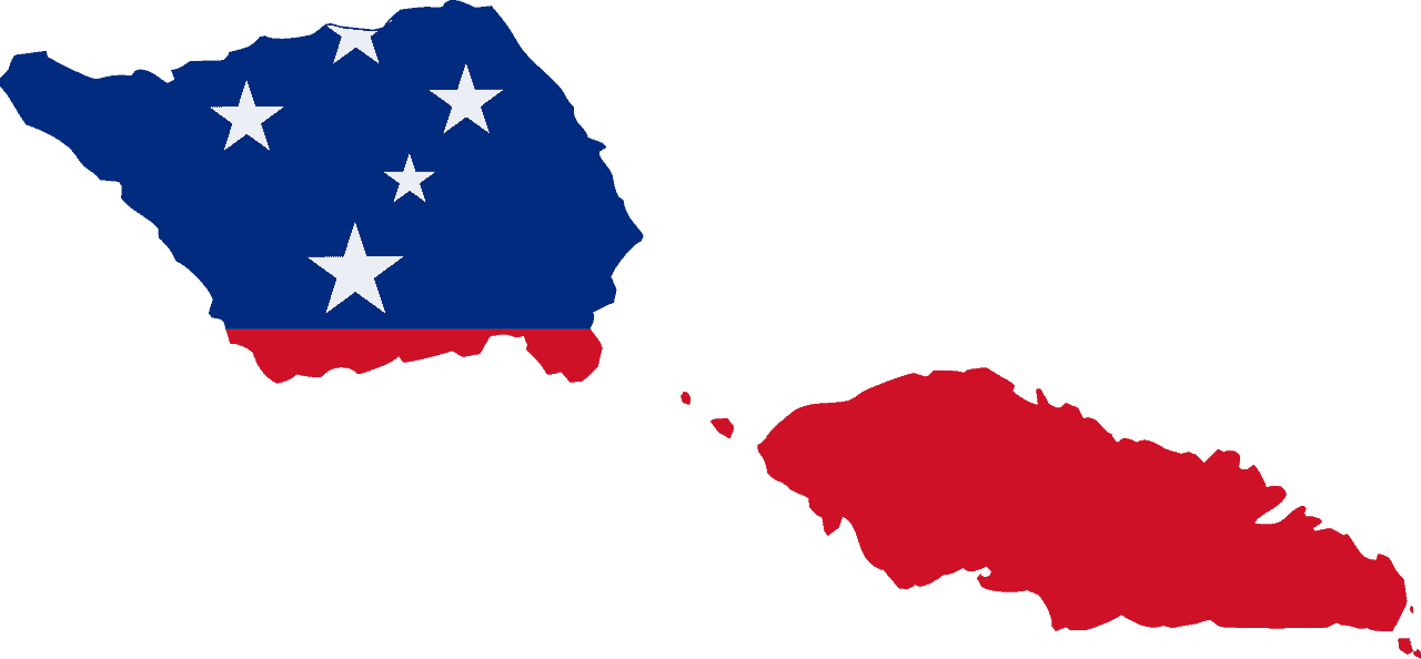
Samoa
-
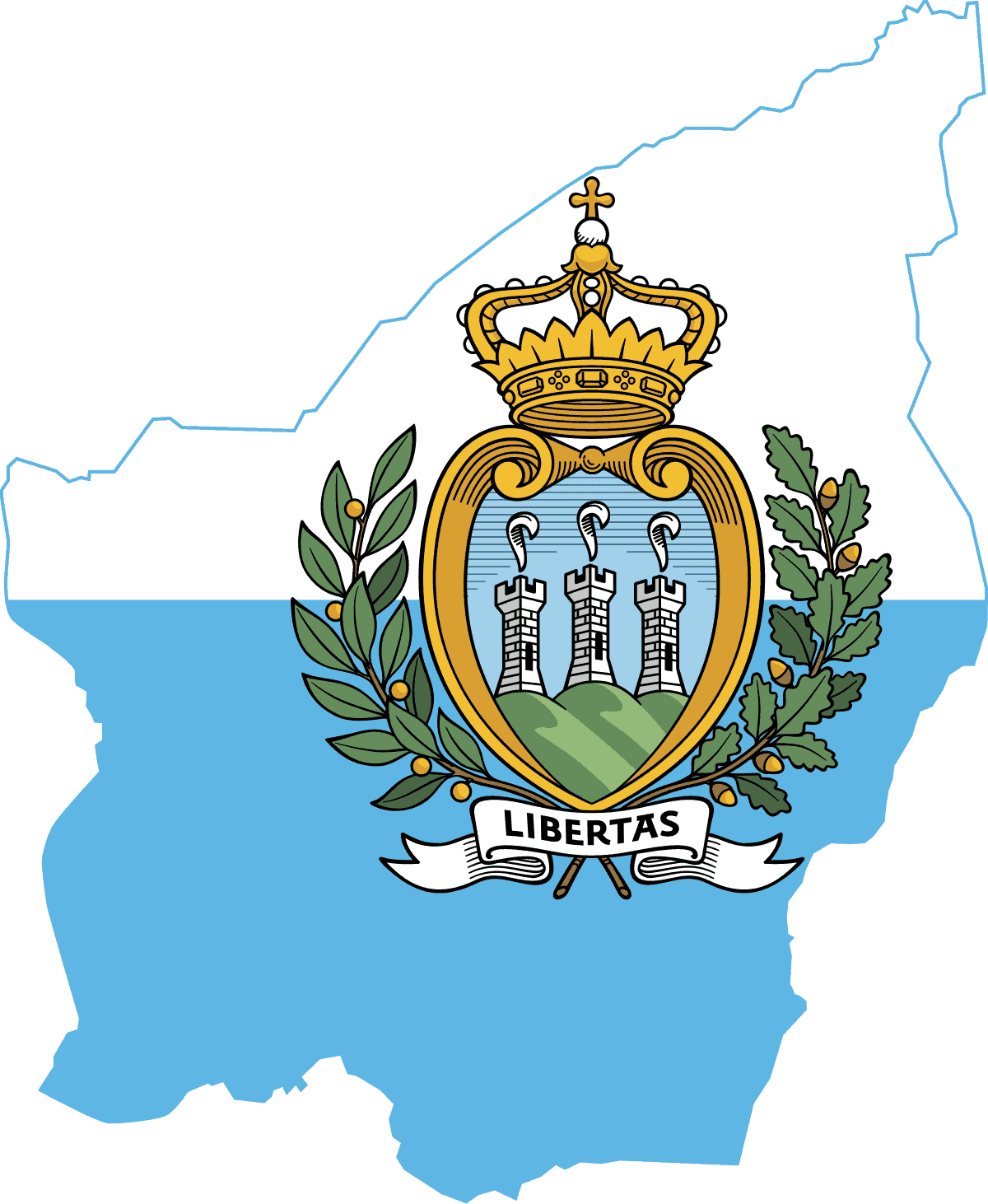
San Marino
-
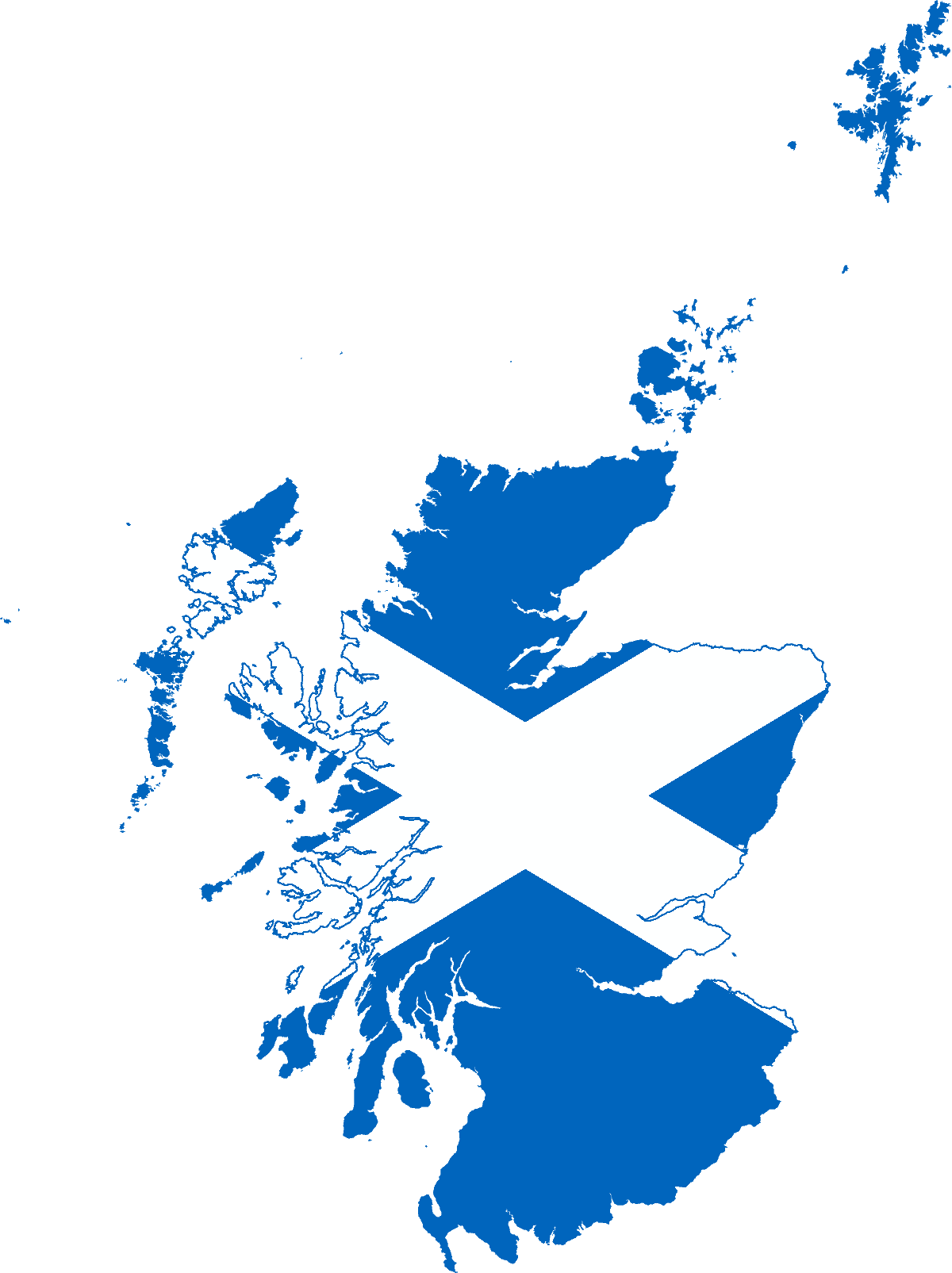
Scotland
-
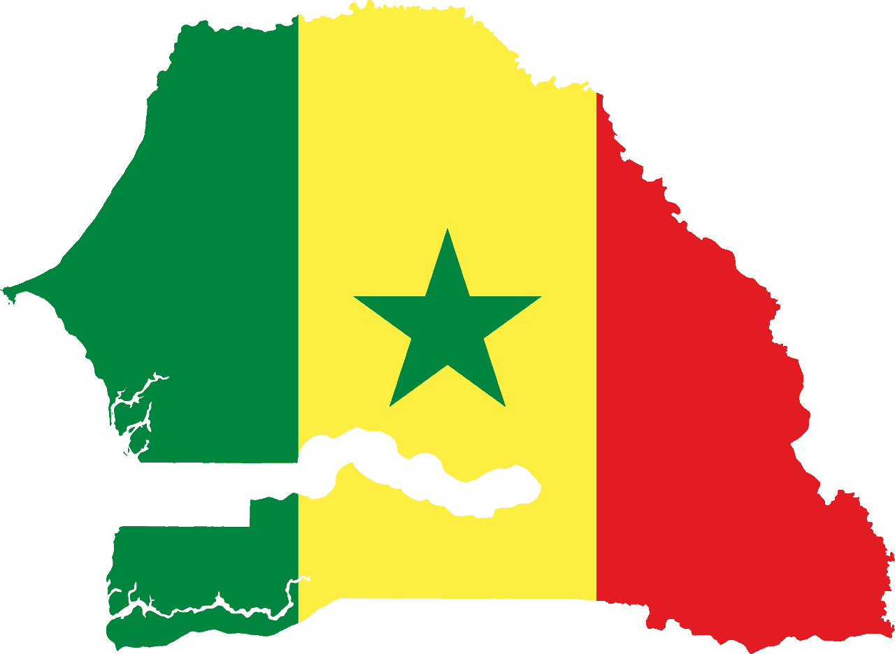
Senegal
-
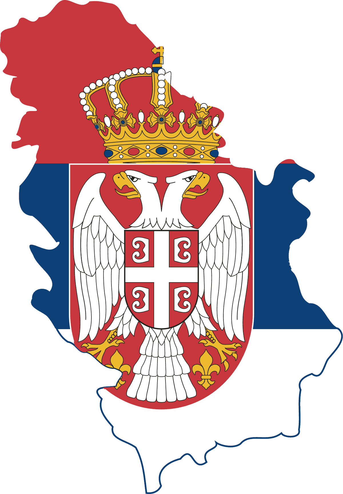
Serbia
-
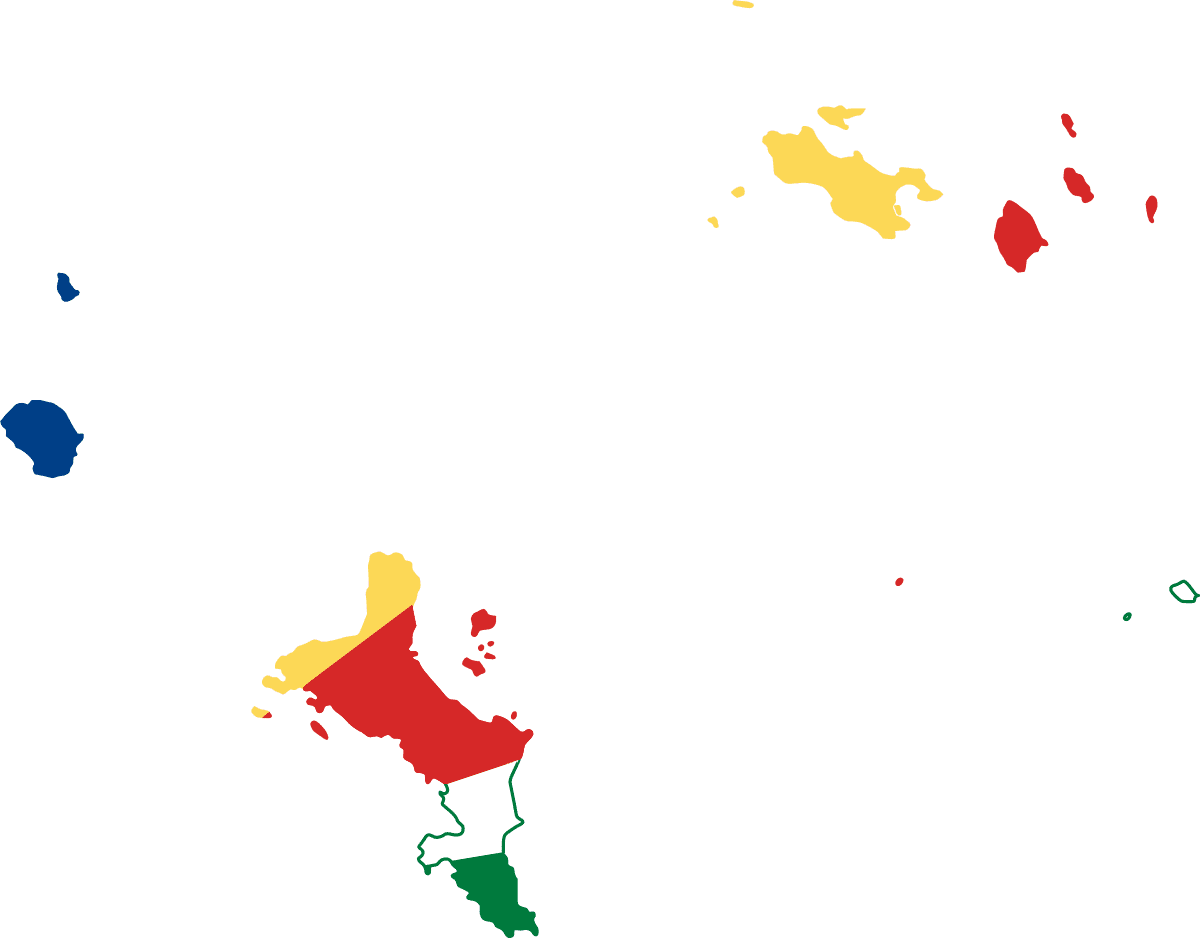
Seychelles
-
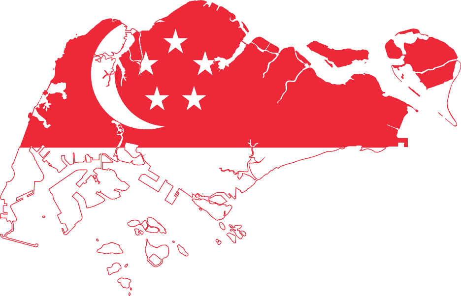
Singapore
-
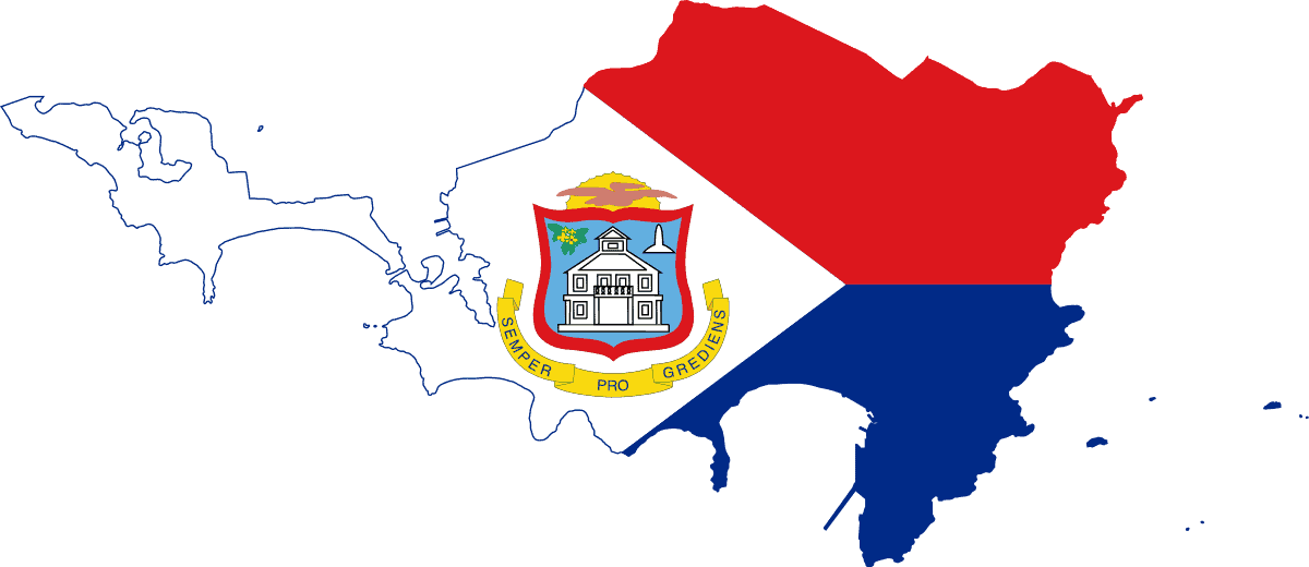
Sint Maarten
-
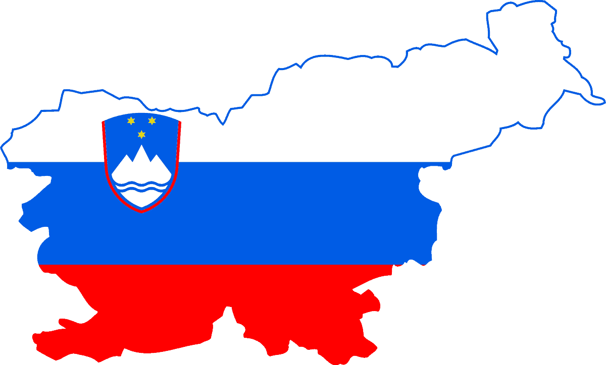
Slovenia
-
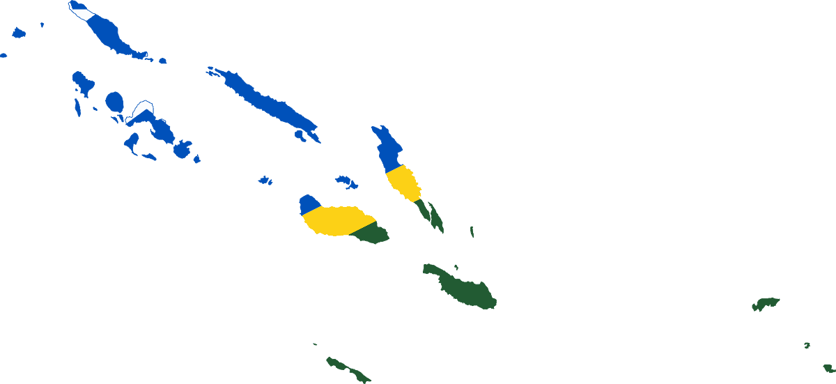
Solomon Islands
-
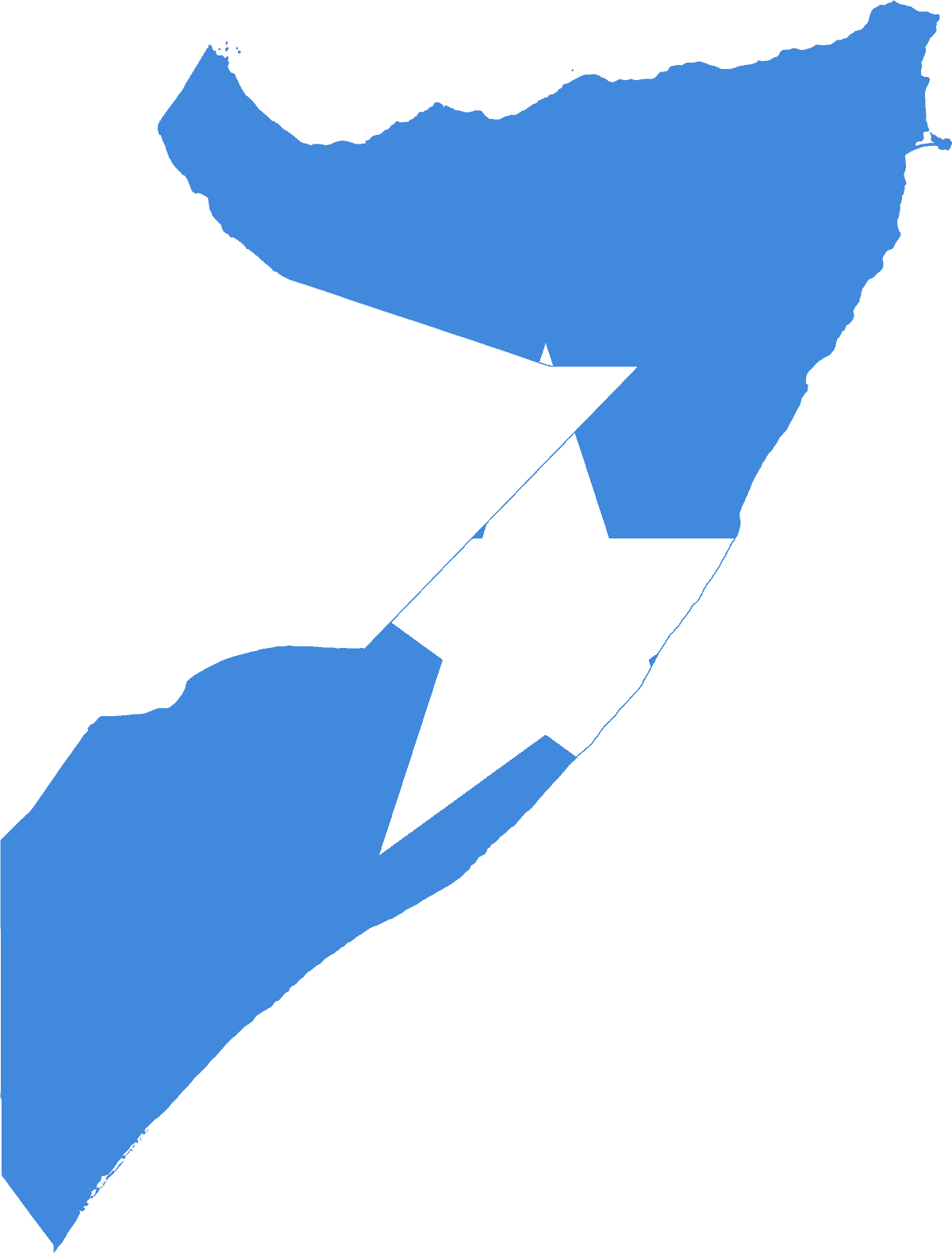
Somalia
-
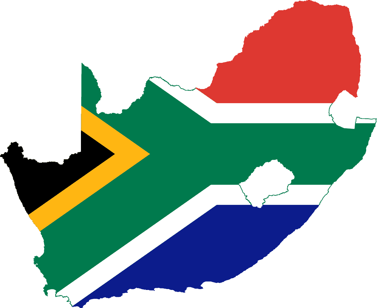
South Africa
-
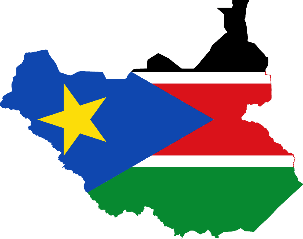
South Sudan
-
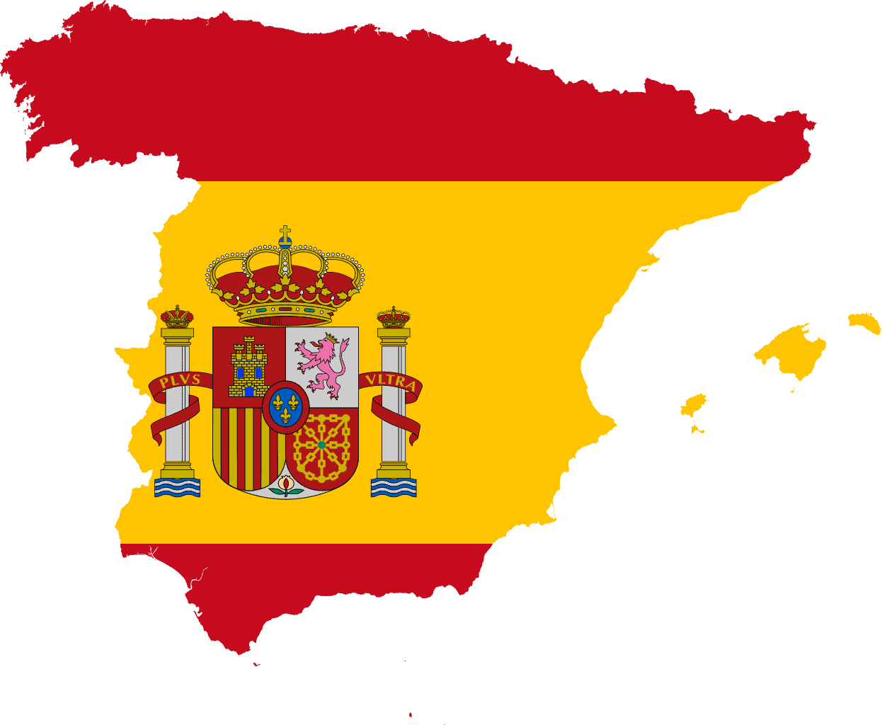
Spain
-
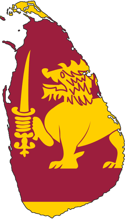
Sri Lanka
-
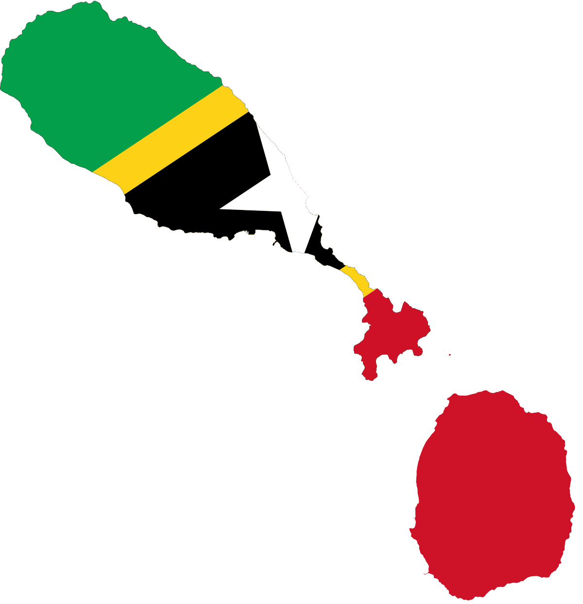
Saint Kitts and Nevis
-
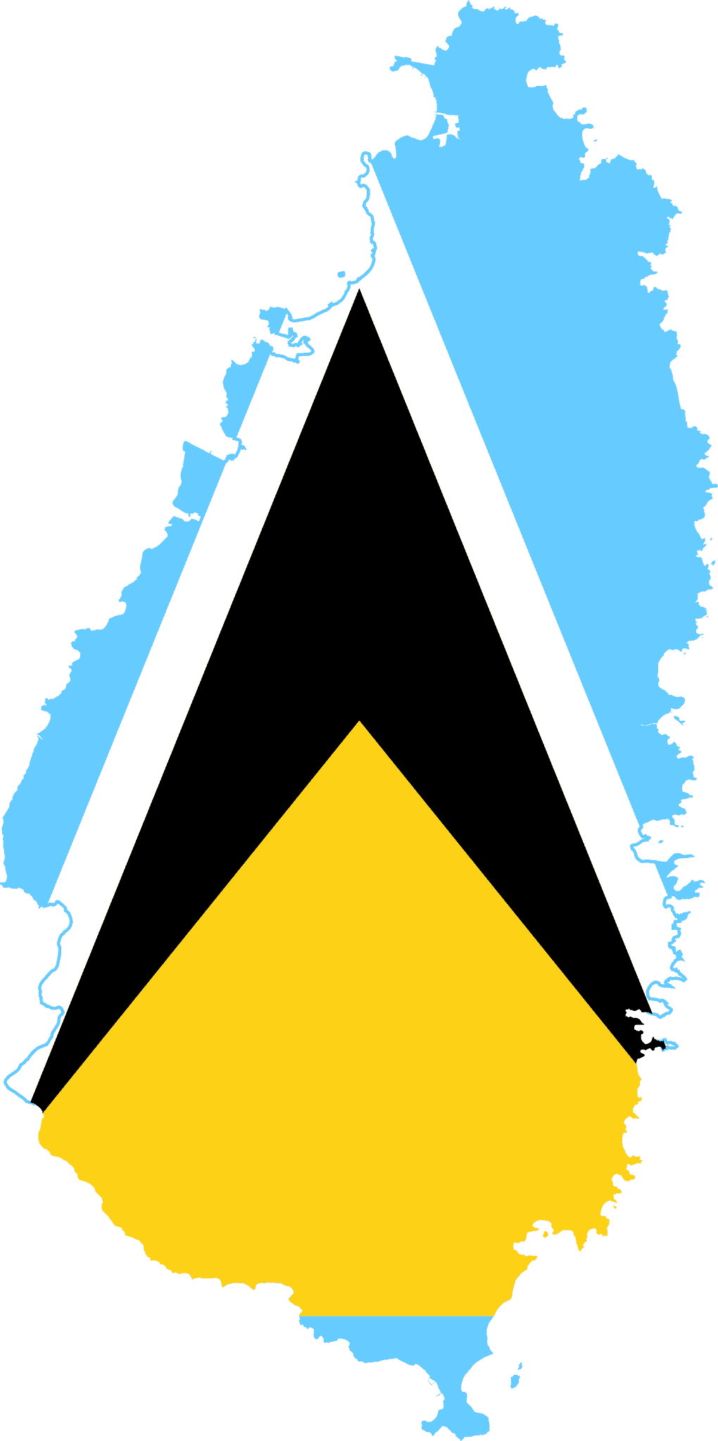
Saint Lucia
-
Sudan
-
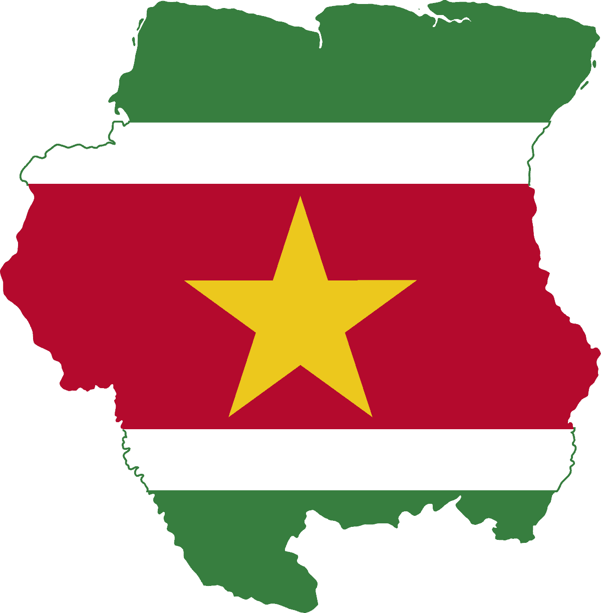
Suriname
-
Svalbard
-
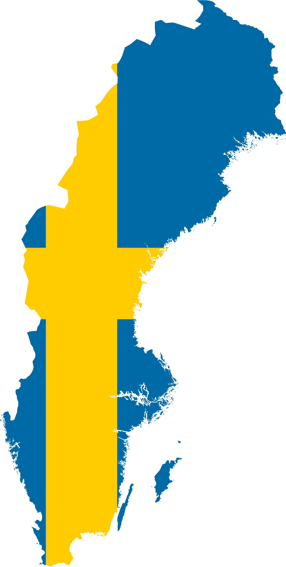
Sweden
-
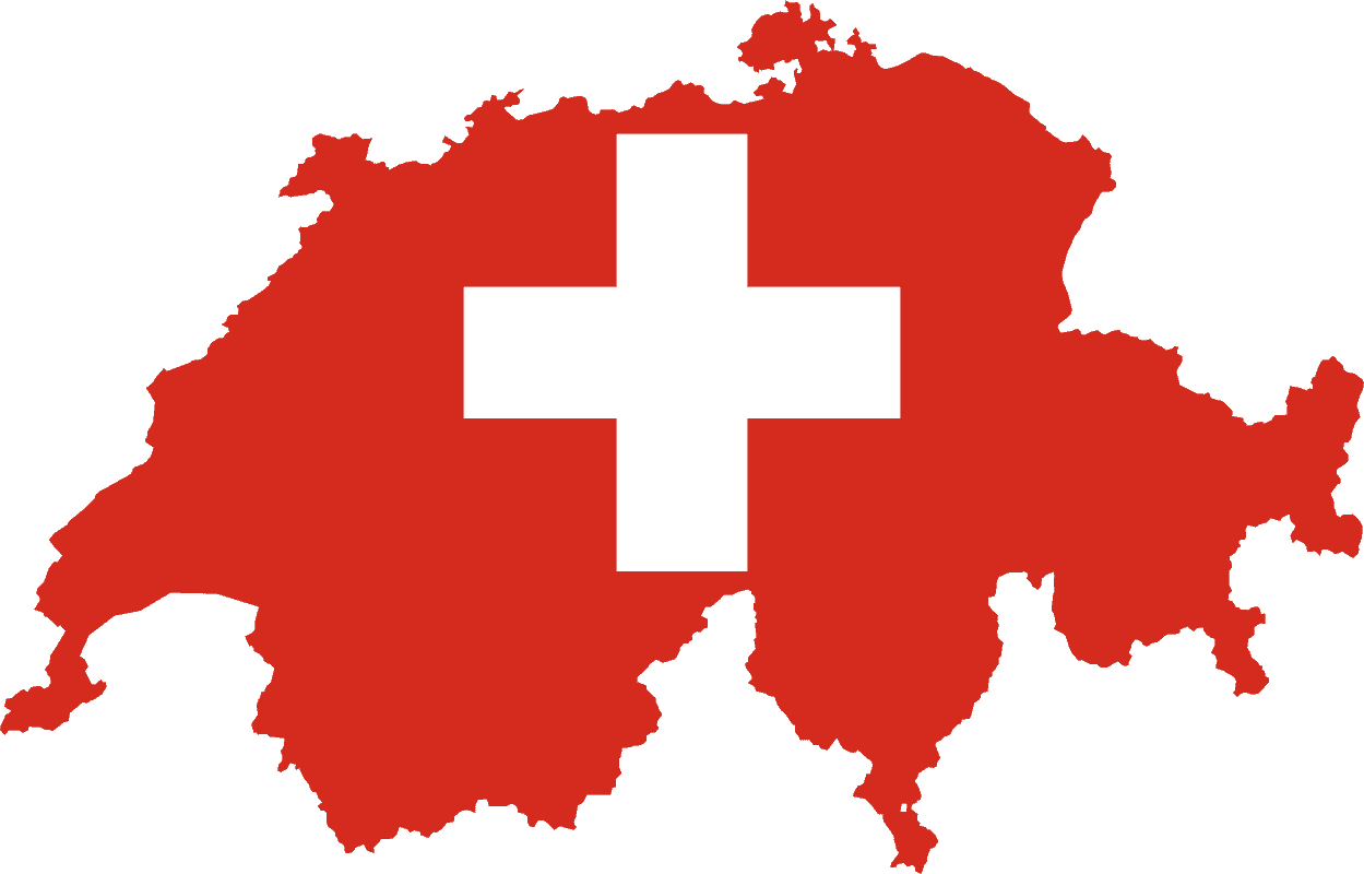
Switzerland
-
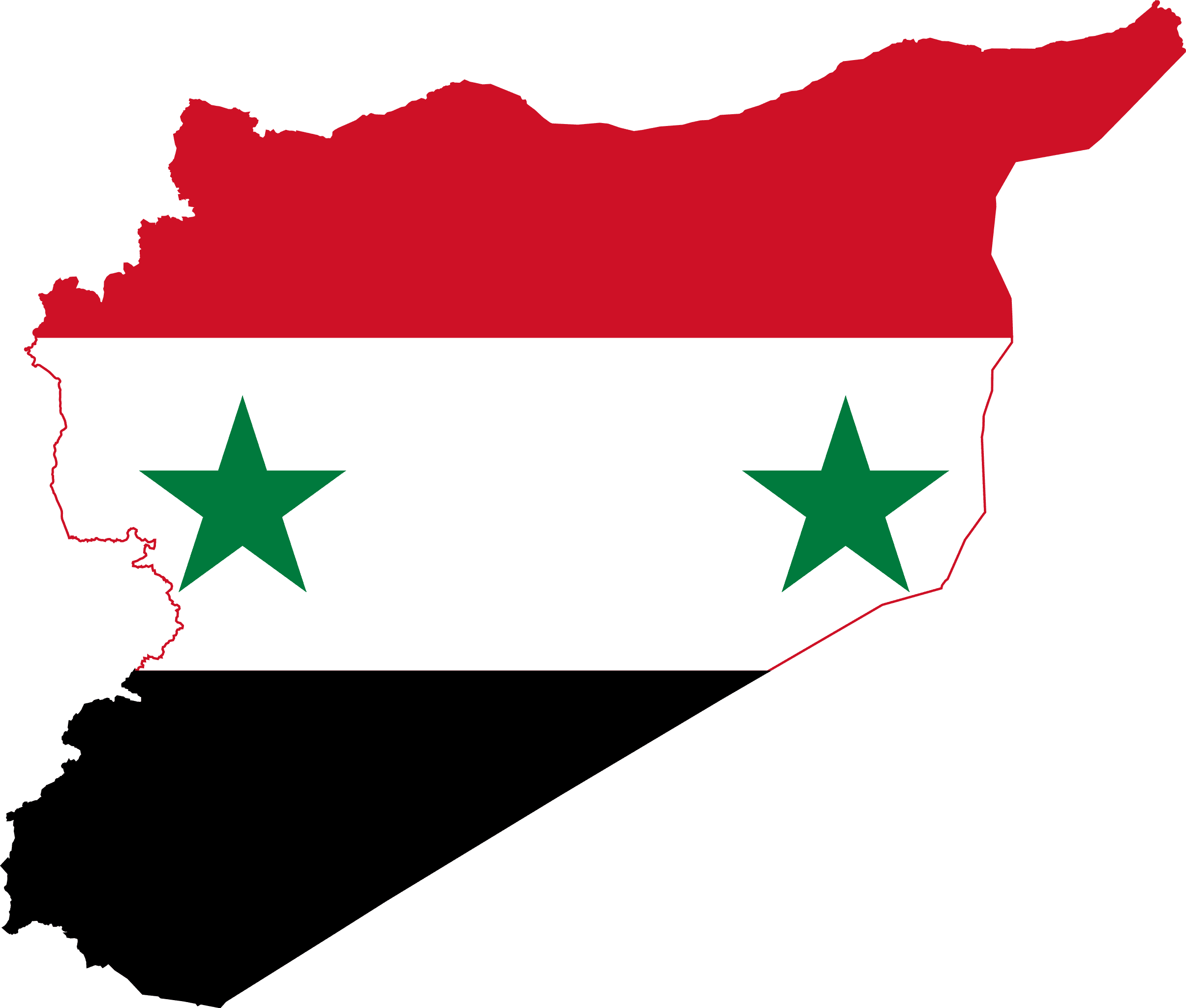
Syria
-
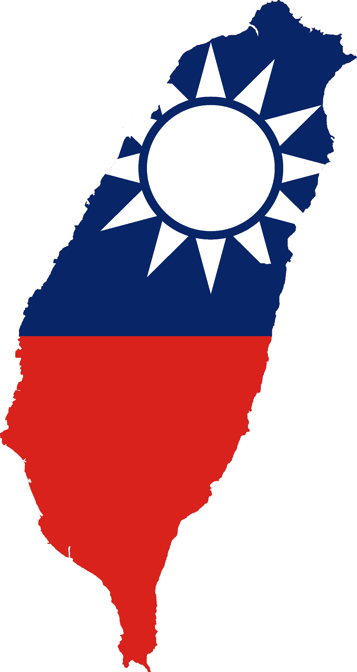
Taiwan
-
Tajikistan
-
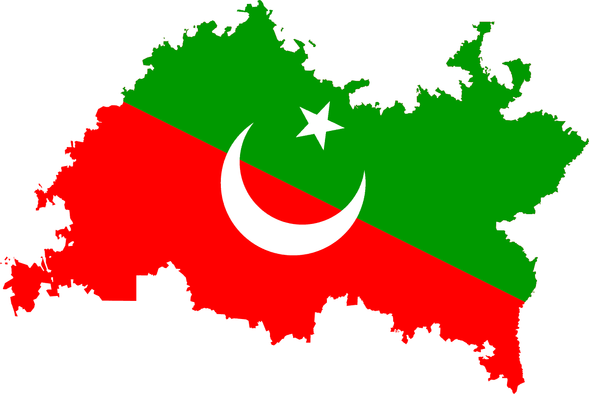
Tatarstan
-
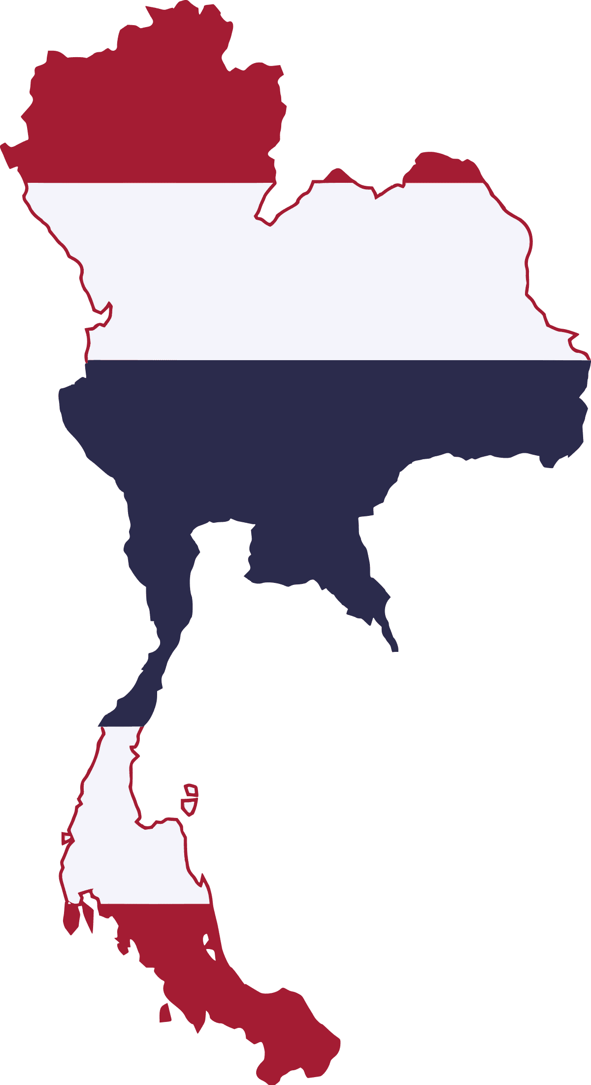
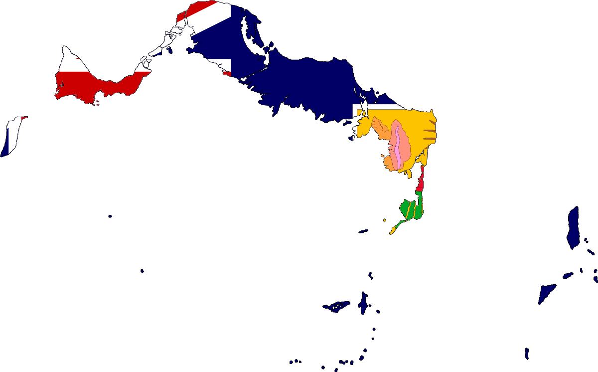
Thailand
-
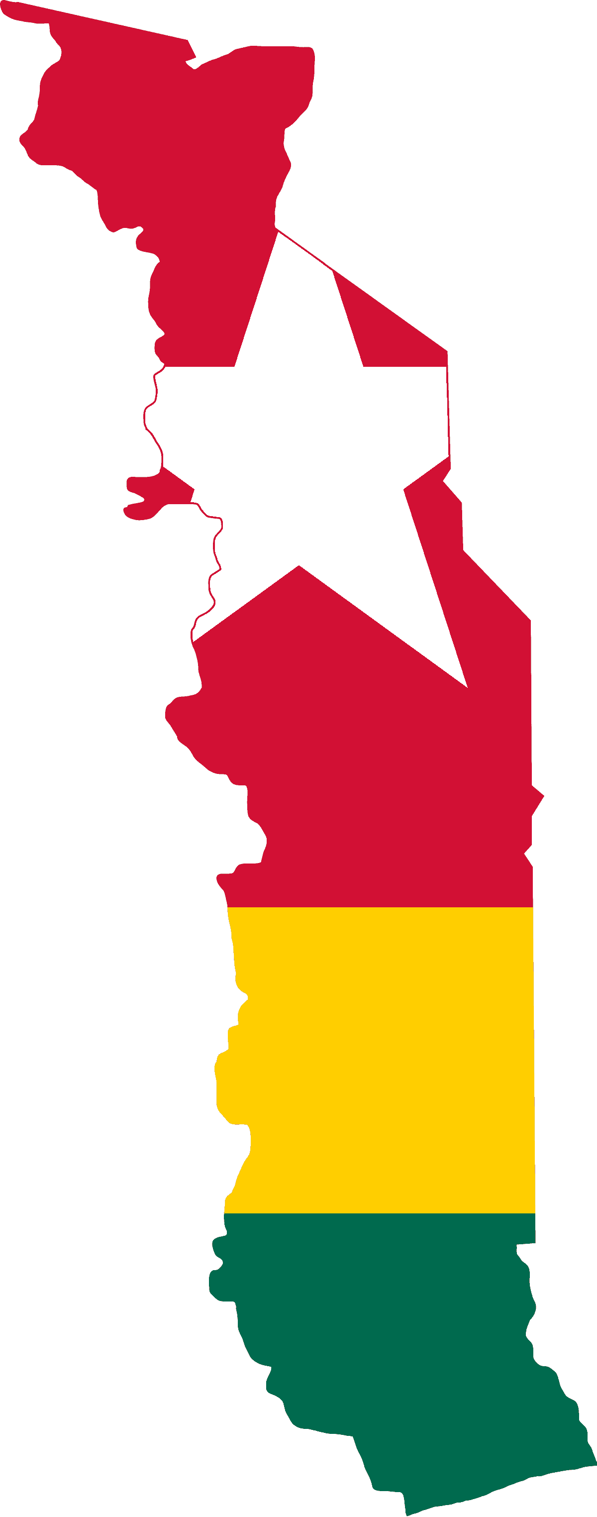
Togo
-
Tokelau
-
Tonga
-
Trinidad and Tobago
-
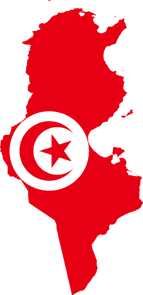
Tunisia
-
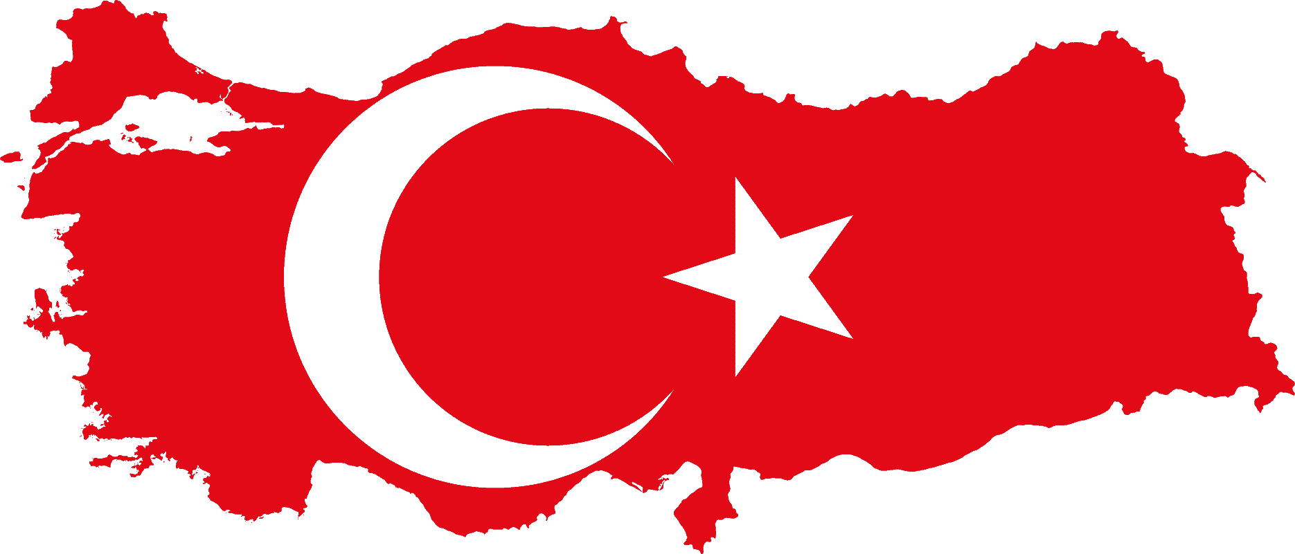
Turkiye
-
Turkmenistan
-
Turks and Caicos Islands
-
Tuvalu
-
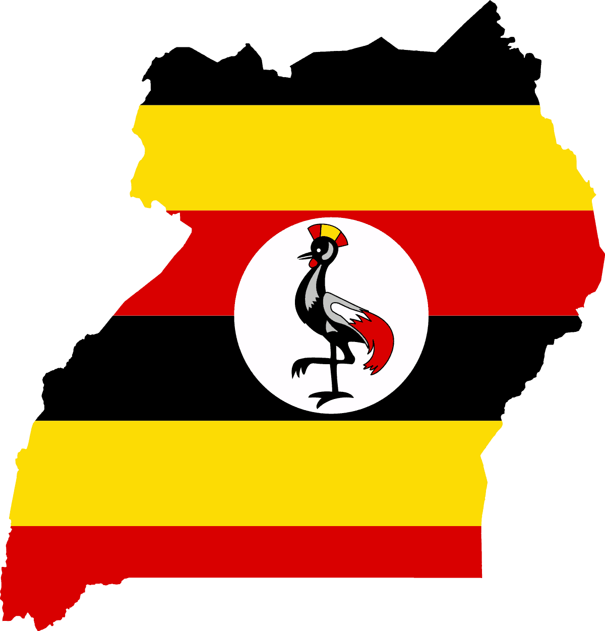
Uganda
-
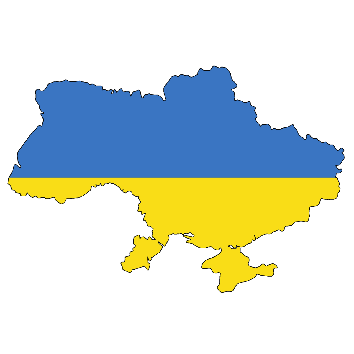
Ukraine
-
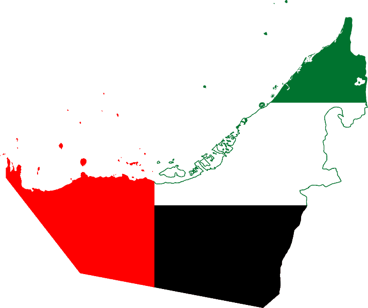
United Arab Emirates
-
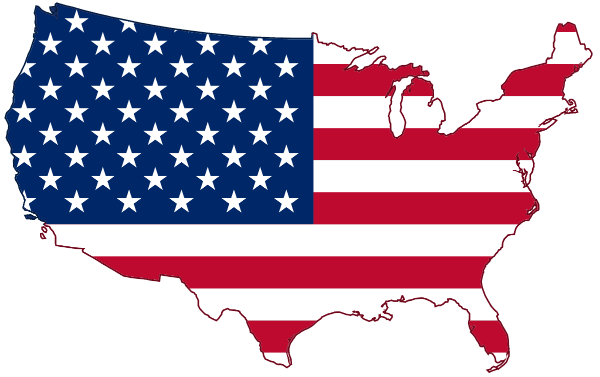
United States of America
-
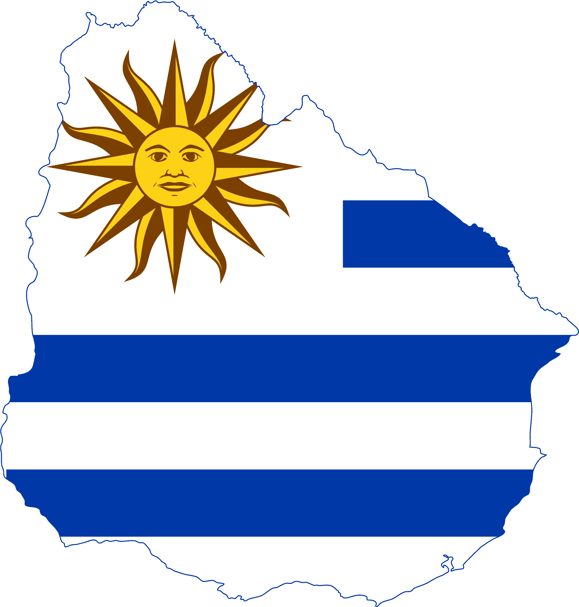
Uruguay
-
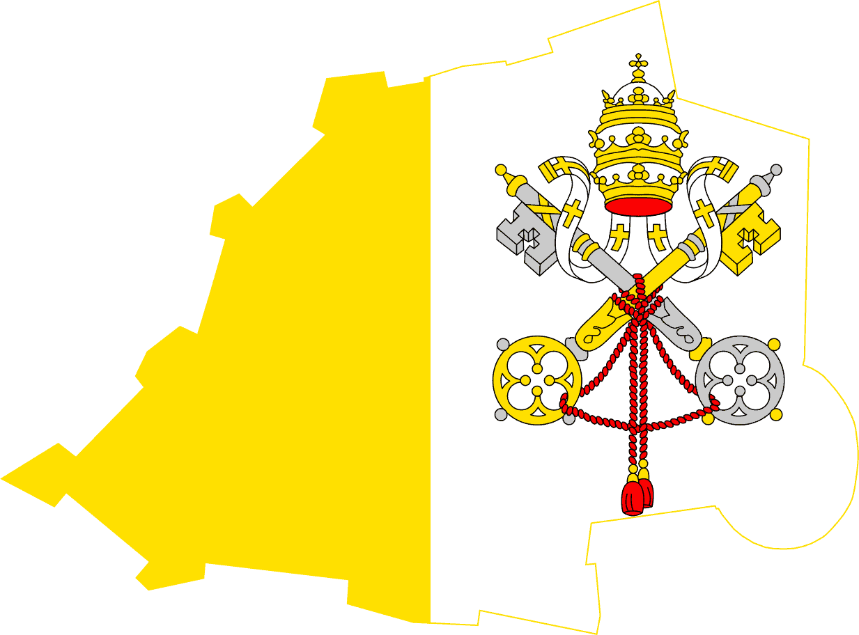
Holy See (Vatican City)
-
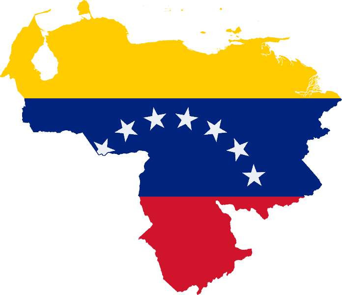
Venezuela
-
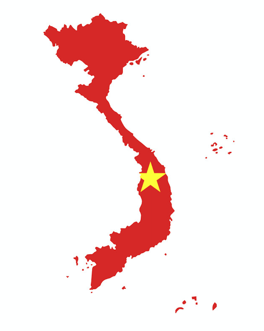
Vietnam
-
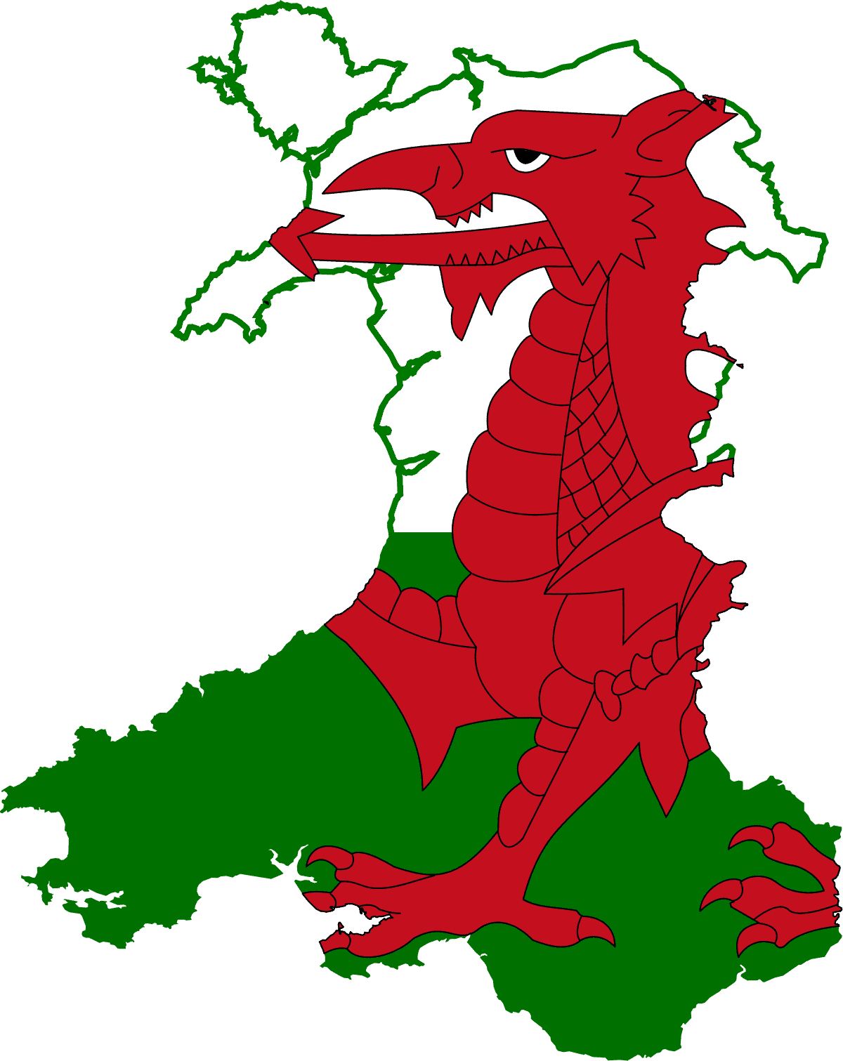
Wales
-
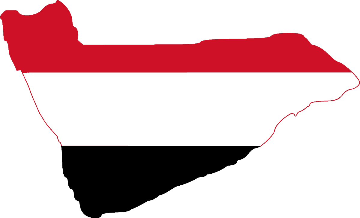
Yemen
-
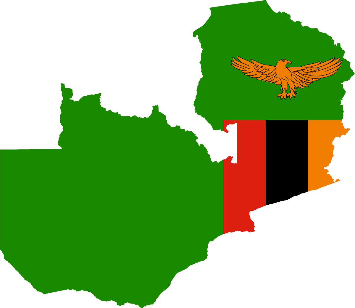
Zambia
-
Zimbabwe


Author
National Symbols 👇
- 🏁 National Flags
- 🦁 National Animals
- 🐦 National Birds
- 🌻 National Flowers
- 🌴 National Trees
- 🥭 National Fruits
- 🍹 National Drinks
- 👴 National Founders
- ☘️ National Emblems
- 🍲 National Dishes
- 🏛️ National Monuments
- ✍️ National Poets
- 🕌 National Mausoleums
- 🎺 National Instruments
- 🦸 National Heroes
- 📆 National Days